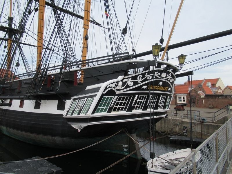
Hartlepool, England, United Kingdom — Northwestern Europe (the British Isles)
Ropes
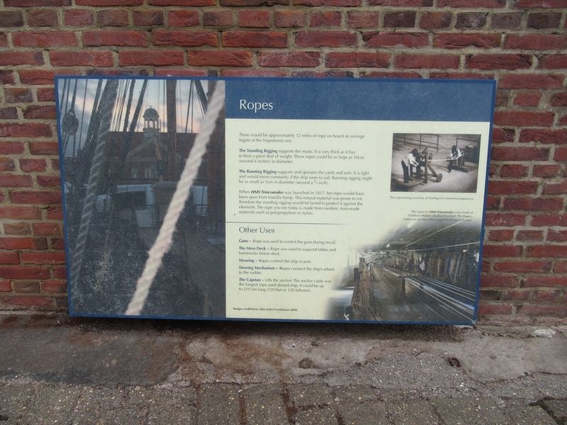
There would be approximately 12 miles of rope on board an average frigate of the Napoleonic era.
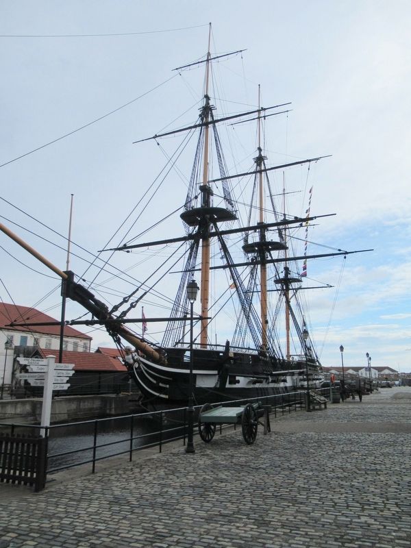
The Standing Rigging supports the masts. It is very thick as it has to bear a great deal of weight. These ropes could be as large as 10cm (around 4 inches) in diameter.
The Running Rigging supports and operates the yards and sails. It is light and would move constantly if the ship were to sail. Running rigging might be as small as 1cm in diameter (around a 1/3 inch).
When HMS Trincomalee was launched in 1817, her rope would have been spun from manilla hemp. This natural material was prone to rot, therefore the standing rigging would be tarred to protect it against the elements. The rope you see today is made from modern, man-made materials such as polypropylene or nylon.
Other Uses
Guns - Rope was used to control the guns during recoil.
The Mess Deck - Rope was used to suspend tables and hammocks below deck.
Mooring - Ropes control the ship in port.
Steering Mechanism - Ropes connect the ship's wheel to the rudder.
The Capstan - Lifts the anchor. The anchor cable was the longest rope used aboard ship. It could be up to 219.5m long (720 feet or 120 fathoms).
Images credited to: Alan Eyles/Continuum 2008
( photo captions )
The ropemaking machine at Hartlepool’s Maritime Experience.
The ropes for HMS Trincomalee were made at Chatham Historic Dockyard in Kent. The Ropery makes use of one of the longest buildings in Europe.
Topics. This historical marker is listed in this topic list: Waterways & Vessels. A significant historical year for this entry is 1817.
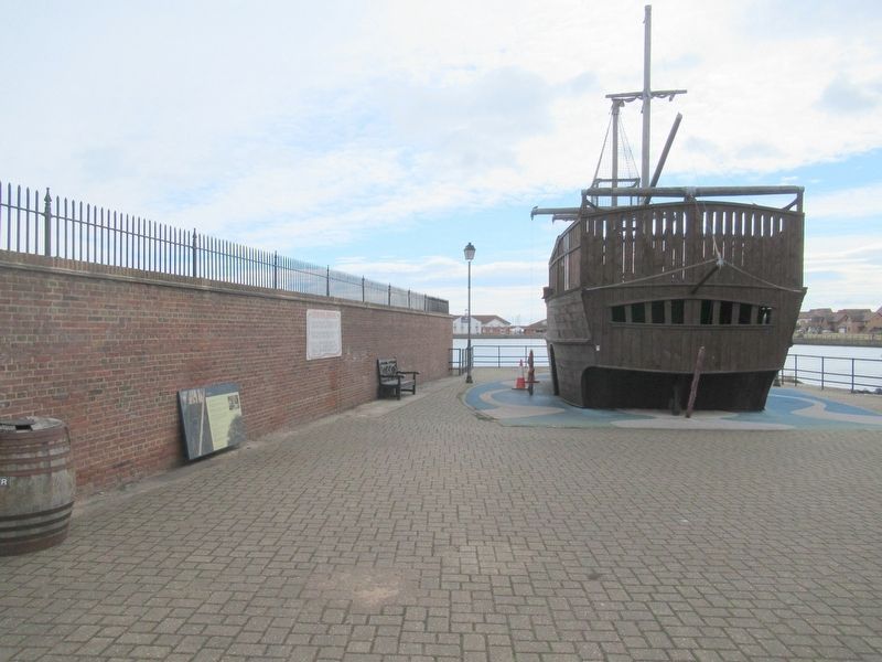
Location. 54° 41.432′ N, 1° 12.392′ W. Marker is in Hartlepool, England. Marker can be reached from the intersection of Marina Way and Maritime Avenue, on the left when traveling south. Located at the National Museum of the Royal Navy Hartlepool. Touch for map. Marker is in this post office area: Hartlepool, England TS24 0XZ, United Kingdom. Touch for directions.
Other nearby markers. At least 8 other markers are within walking distance of this marker. Hartlepool Marina (within shouting distance of this marker); Shipwrecked Royal Benevolent Society (about 90 meters away, measured in a direct line); PSS Wingfield Castle (about 90 meters away); PS Wingfield Castle (about 120 meters away); Seaton Tower Lighthouse (approx. 0.3 kilometers away); Headland (approx. 1.4 kilometers away); Docks & Coal Staiths (approx. 1.4 kilometers away); Throston Engine House (approx. 1.4 kilometers away). Touch for a list and map of all markers in Hartlepool.
Also see . . .
1. National Museum of the Royal Navy, Hartlepool. Wikipedia entry (Submitted on September 6, 2022, by Larry Gertner of New York, New York.)
2. National Museum of the Royal Navy Hartlepool. Museum website homepage (Submitted on October 30, 2018, by Michael Herrick of Southbury, Connecticut.)
Credits. This page was last revised on September 6, 2022. It was originally submitted on October 30, 2018, by Michael Herrick of Southbury, Connecticut. This page has been viewed 161 times since then and 20 times this year. Photos: 1, 2, 3, 4, 5. submitted on October 30, 2018, by Michael Herrick of Southbury, Connecticut.
