Silver Bay in Warren County, New York — The American Northeast (Mid-Atlantic)
Lake George
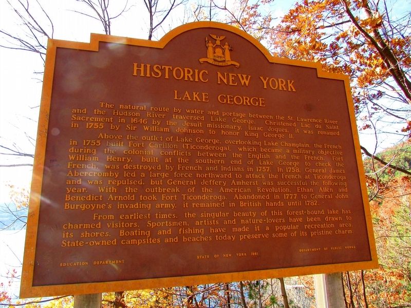
Historic New York
The natural route by water and portage between the St. Lawrence River and the Hudson River traversed Lake George. Christened Lac du Saint Sacrement in 1646 by the Jesuit missionary, Isaac Jogues, it was renamed in 1755 by Sir William Johnson to honor King George II.
Above the outlet of Lake George, over-looking Lake Champlain, the French in 1755 built Fort Carillon (Ticonderoga), which became a military objective during the colonial conflicts between the English and the French. Fort William Henry, built at the southern end of Lake George to check the French, was destroyed by French and Indians in 1757. In 1758 General James Abercromby led a large force northward to attack the French at Ticonderoga and was repulsed, but General Jeffery Amherst was successful the following year. With the outbreak of the American Revolution, Ethan Allen and Benedict Arnold took Fort Ticonderoga. Abandoned in 1777 to General John Burgoyne's invading army, it remained in British hands until 1782.
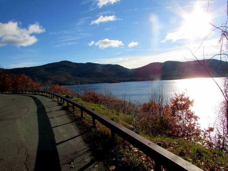
From earliest times, the singular beauty of this forest-bound lake has charmed visitors. Sportsmen, artists, and nature-lovers have been drawn to its shores. Boating and fishing have made it a popular recreation area. State-owned campsites and beaches today preserve some of its pristine charm.
Erected 1961 by State of New York.
Topics and series. This historical marker is listed in these topic lists: War, French and Indian • War, US Revolutionary. In addition, it is included in the Historic New York State series list.
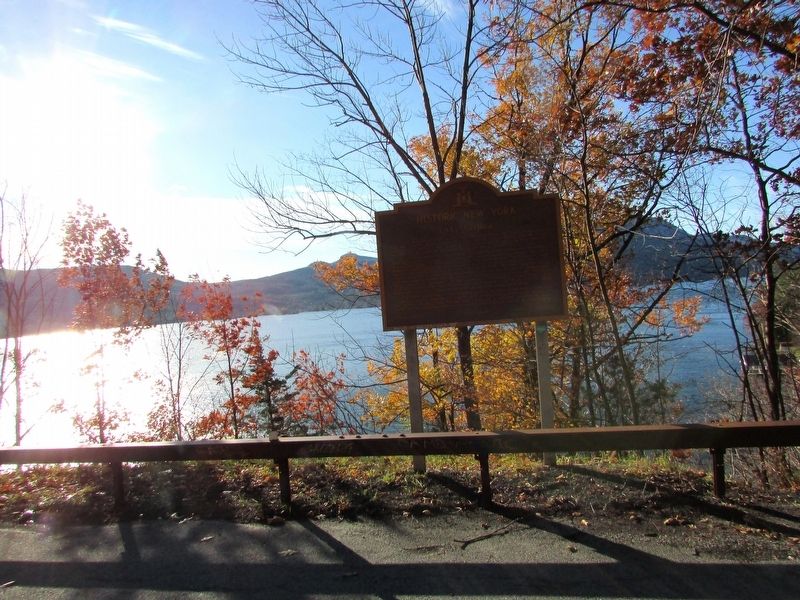
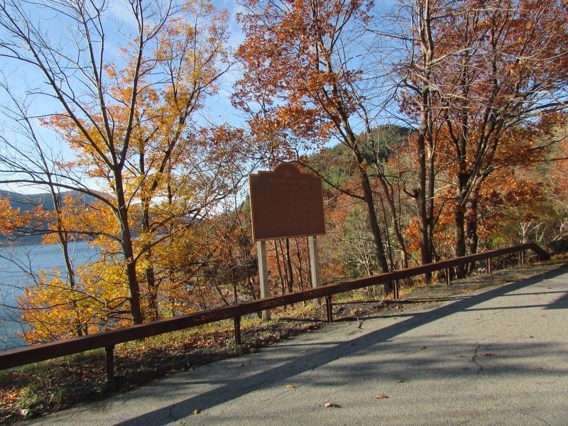
Location. 43° 39.755′ N, 73° 31.269′ W. Marker is in Silver Bay, New York, in Warren County. Marker is on Lake Shore Drive (U.S. 9N), on the left when traveling south. Marker is located in the Sabbath Day Point Overlook. Touch for map. Marker is in this post office area: Silver Bay NY 12874, United States of America. Touch for directions.
Other nearby markers. At least 8 other markers are within 6 miles of this marker, measured as the crow flies. Battles at Sabbath Day Point (approx. 0.4 miles away); Old School House / Kibby’s Kamp (approx. 4.1 miles away); The Alma Farm Park (approx. 4½ miles away); Hague Heritage Cemetery (approx. 5.3 miles away); The Wreck of the Steamboat John Jay (approx. 5.8 miles away); The Working Side of Hague (approx. 5.8 miles away); Town of Hague Centennial (approx. 5.8 miles away); Legendary Rocks (approx. 5.8 miles away).
Credits. This page was last revised on November 12, 2018. It was originally submitted on November 12, 2018, by Bill Coughlin of Woodland Park, New Jersey. This page has been viewed 269 times since then and 20 times this year. Photos: 1, 2, 3, 4. submitted on November 12, 2018, by Bill Coughlin of Woodland Park, New Jersey.


