Near Williamsburg in James City County, Virginia — The American South (Mid-Atlantic)
Engagement at Spencer's Ordinary
June 26, 1781
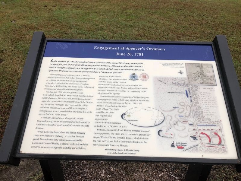
In the summer of 1781, thousands of troops crisscrossed the James City County countryside, foraging for food and strategically moving toward Yorktown. Although neither side knew the otherís strength, Lafayette saw an opportunity to attack. British troops tore down the fences at Spencerís Ordinary to create an open ground for a "chicanery of action."
Mansfield Spencer's 120-acre farm is partially overlaid by Freedom Park today. Spencer also operated an ordinary, or tavern that served regular meals to travelers, located at the intersection of roads to Jamestown, Williamsburg, and points north. Columns of troops passed along this main thoroughfare.
On June 26, 1781, the rear guard of Lord Cornwallis's large British Army, which numbered about 6,000 plus camp followers, was proceeding eastward, under the command of Lieutenant Colonel John Simcoe and the Queen's Rangers. They were reinforced by additional infantry, cavalry, and Hessian Jaegers. A contemporary source recorded that any place this horde approached was "eaten clean."
A smaller Colonial force, though still several thousand strong, under the command of the Marquis de Lafayette was following Cornwallis's column at a safe distance.
When Lafayette heard about the British foraging party near Spencer's Ordinary, he sent his forward guard, Pennsylvania Line soldiers commanded by Lieutenant Colonel Butler, to attack. Violent skirmishes occurred as maneuvering units collided and withdrew, attempting to gain tactical advantage. Eye witness accounts and after-action military reports describe individual acts of bravery, confusion, and uncertainty on both sides. Neither side could overwhelm the other. Numbers of casualties vary depending on the allegiance of the reporter.
Cornwallis sent reinforcements from Williamsburg and the engagement ended as both sides withdrew. British and Allied troops clashed again on July 6, 1781 at the Battle of Green Spring, six miles south of here. This battle would be one of the last Virginia land engagements before the British surrender at Yorktown on October 19, 1781.
British Lieutenant Colonel Simcoe prepared a map of the engagement. The inset, above, contrasts a present-day map of Centerville and Longhill Roads, which includes the road to Freedom Park's Interpretive Center, to the early crossroads drawn by Simcoe.
(caption)
"Action At Spencer s Ordinary, June 26th, 1781 Taken on the Spot by G. Spencer Lt. Q.Rs."
Special Collections, John D. Rockefeller, Jr. Library, Colonial Williamsburg Foundation
Erected by Williamsburg Chapter & Virginia Society Sons of the American Revolution
.
Topics. This historical marker is listed in this topic list: War, US Revolutionary. A significant historical date for this entry is June 26, 1781.
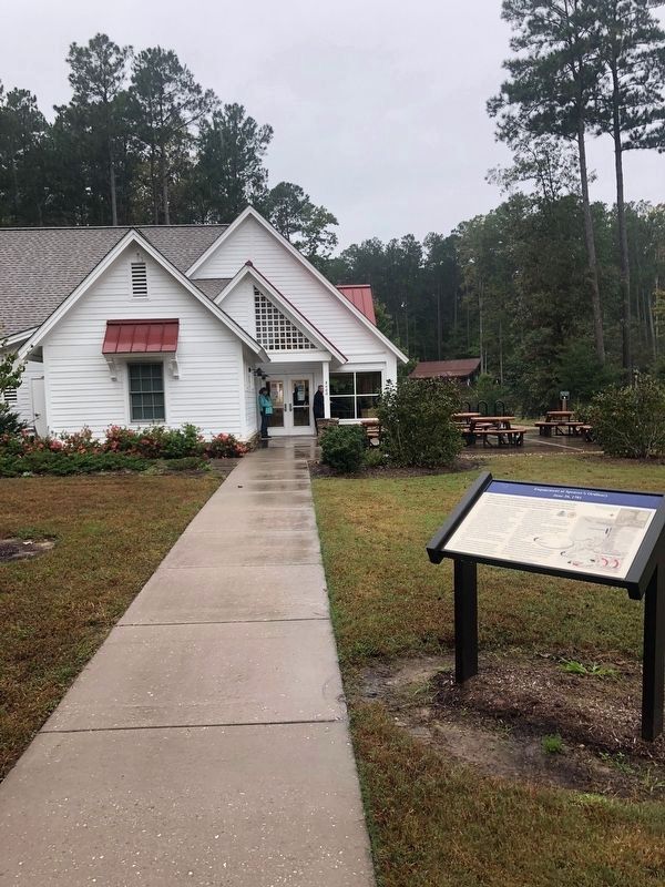
Location. 37° 19.131′ N, 76° 48.055′ W. Marker is near Williamsburg, Virginia, in James City County. Marker can be reached from Hotwater Trail, one mile west of Centerville Road (Virginia Route 614), on the right when traveling west. The marker is in front of the visitor center in Freedom Park. Touch for map. Marker is at or near this postal address: 5537 Centerville Road, Williamsburg VA 23188, United States of America. Touch for directions.
Other nearby markers. At least 8 other markers are within 3 miles of this marker, measured as the crow flies. Welcome to Freedom Park (a few steps from this marker); Early Settlement and Cemetery (about 400 feet away, measured in a direct line); Free Black Settlement (about 500 feet away); Jackson Home (about 600 feet away); Brown Home (about 700 feet away); Lightfoot Home (approx. 0.2 miles away); Hot Water / Centerville (approx. 0.6 miles away); Six-Mile Ordinary (approx. 2.9 miles away). Touch for a list and map of all markers in Williamsburg.
Also see . . . Williamsburg Yorktown Daily article on erection of marker. (Submitted on December 10, 2018, by Kevin Vincent of Arlington, Virginia.)
Additional commentary.
1.
Note To Editor only visible by Contributor and editor
— Submitted December 14, 2018, by Kevin Vincent of Arlington, Virginia.
Credits. This page was last revised on April 3, 2022. It was originally submitted on December 10, 2018, by Kevin Vincent of Arlington, Virginia. This page has been viewed 619 times since then and 58 times this year. Last updated on April 2, 2022, by Carl Gordon Moore Jr. of North East, Maryland. Photos: 1. submitted on December 10, 2018, by Kevin Vincent of Arlington, Virginia. 2. submitted on December 14, 2018, by Kevin Vincent of Arlington, Virginia. • Bernard Fisher was the editor who published this page.

