National Harbor in Fort Washington in Prince George's County, Maryland — The American Northeast (Mid-Atlantic)
The Growth of the Black Middle Class

Photographed By Devry Becker Jones (CC0), December 22, 2018
1. The Growth of the Black Middle Class Marker
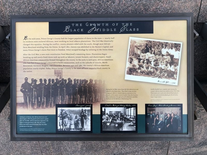
By the mid-1700s, Prince George's County had the largest population of slaves in the state — nearly half of its residents were enslaved Africans, most working on local tobacco plantations. The Civil War drastically changed this equation. During the conflict, county planters sided with the south, though most did not favor Maryland seceding from the Union. In April 1862, slavery was abolished in the Nation's Capital, and many Prince George's slaves fled there to freedom. Other escaped bondage by enlisting in the Union Army.
After the Civil War, a new state constitution freed Maryland's remaining slaves. Plantations began breaking up and newly freed slaves took up work as laborers, tenant farmers, and sharecroppers. Small African-American communities formed throughout the county. In the early to mid-1900s, African Americans who had fled Prince George's returned to build communities, such as the suburbs of Lincoln, North Brentwood, Fairmont Heights, and Glenarden. Between 1970 and 1980, the county's African-American population nearly tripled. Today, Prince George's County is the most affluent majority-black county in the nation.
[Captions:]
Coming out of slavery, most African-Americans were sharecroppers. With the growth of the nation's capital after the Civil War, African-Americans migrated to the region to work government jobs. Now the county boasts more black-owned businesses than any other jurisdiction in the state.
During the Civil War, many slaves left their plantations and enlisted in the Union Army. These black troops are from Company E, 4th U.S. Colored Infantry, stationed at Fort Lincoln on the county's western border. From this location they could protect the approach of the Baltimore and Ohio Railroad and the Baltimore (Bladensburg) Pike.
Sandlot baseball was a popular sport among the county's African-American residents from 1920-1960. These teams were outlets for talented black players who were prevented from playing for the all-white major league teams.
Topics. This historical marker is listed in these topic lists: African Americans • Settlements & Settlers • Sports • War, US Civil. A significant historical month for this entry is April 1862.
Location. 38° 47.56′ N, 77° 1.455′ W. Marker is in Fort Washington, Maryland, in Prince George's County. It is in the National Harbor. Marker can be reached from Capital Beltway (Interstate 95) west of National Harbor Boulevard, on the right when traveling east. Touch for map. Marker is in this post office area: Oxon Hill MD 20745, United States of America. Touch for directions.
Other nearby markers. At least 8 other markers are within walking distance of this marker. College Park (here, next to this marker); Hyattsville (here, next to this marker); The Tobacco Economy

Photographed By Devry Becker Jones (CC0), December 22, 2018
2. The Growth of the Black Middle Class Marker
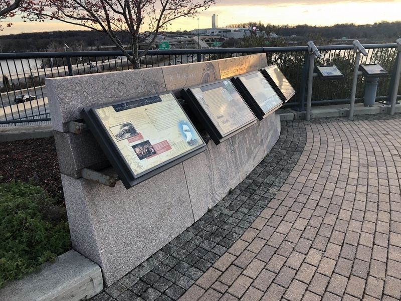
More about this marker. The marker is located in Potomac River Waterfront Park.
Additional keywords. USCT
Credits. This page was last revised on March 3, 2023. It was originally submitted on December 23, 2018, by Devry Becker Jones of Washington, District of Columbia. This page has been viewed 244 times since then and 28 times this year. Last updated on July 25, 2022, by Carl Gordon Moore Jr. of North East, Maryland. Photos: 1, 2. submitted on December 23, 2018, by Devry Becker Jones of Washington, District of Columbia.