Old Town in Alexandria, Virginia — The American South (Mid-Atlantic)
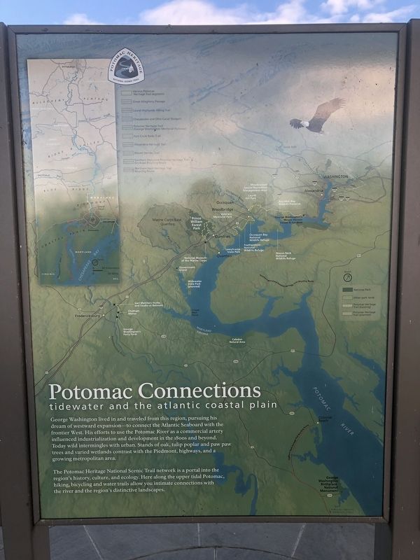
Potomac Connections
Tidewater and the Atlantic Coastal Plain
— Potomac Heritage National Scenic Trail —
George Washington lived in and traveled from this region, pursuing his dream of westward expansion—to connect the Atlantic Seaboard with the frontier West. His efforts to use the Potomac River as a commercial artery influenced industrialization and development in the 1800s and beyond. Today wild intermingles with urban. Stands of oak, tulip poplar and paw paw trees and varied wetlands contrast with the Piedmont, highways, and a growing metropolitan area.
The Potomac Heritage National Scenic Trail network is a portal into the nation's history, culture, and ecology. Here along the upper tidal Potomac, hiking, bicycling and water trails allow you intimate connections with the river and the region's distinctive landscapes.
Erected by National Park Service, U.S. Department of the Interior.
Topics. This historical marker is listed in these topic lists: Industry & Commerce • Waterways & Vessels.
Location. 38° 47.577′ N, 77° 2.492′ W. Marker is in Alexandria, Virginia. It is in Old Town. Marker can be reached from Jones Point Drive east of South Royal Street, on the right when traveling east. Touch for map. Marker is at or near this postal address: 100 Jones Point Drive, Alexandria VA 22314, United States of America. Touch for directions.
Other nearby markers. At least 8 other markers are within walking distance of this marker. Welcome to Jones Point Park (here, next to this marker); Mount Vernon Trail (here, next to this marker); World War I-Era Rudder (within shouting distance of this marker); A World War I Shipyard Transforms Jones Point (within shouting distance of this marker); Prehistory to Colonial Settlement (about 400 feet away, measured in a direct line); The Emerging Nation (about 400 feet away); World Wars to the Present (about 400 feet away); The First People on Jones Point (about 500 feet away). Touch for a list and map of all markers in Alexandria.

Photographed By Devry Becker Jones (CC0), December 22, 2018
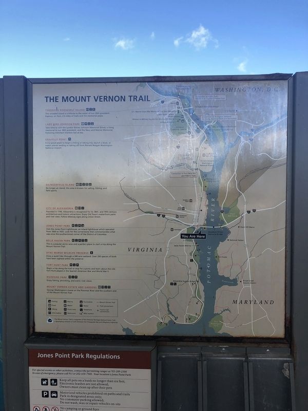
3. The Mount Vernon Trail
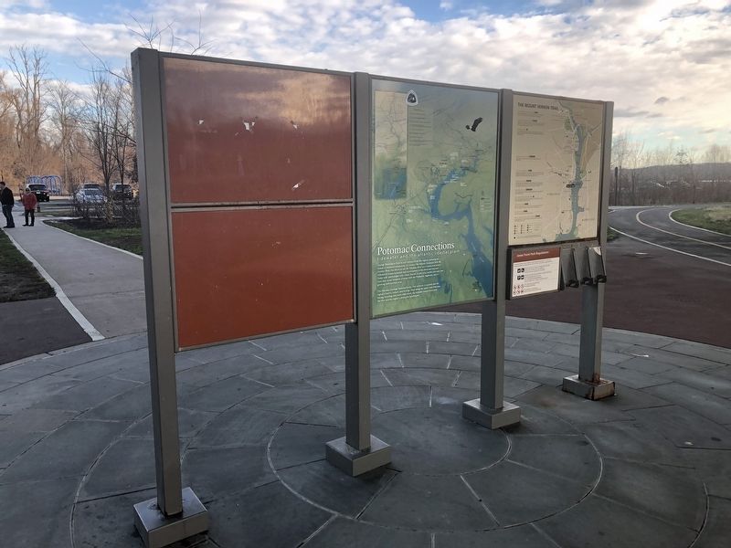
Map next to the marker
Credits. This page was last revised on January 28, 2023. It was originally submitted on December 23, 2018, by Devry Becker Jones of Washington, District of Columbia. This page has been viewed 236 times since then and 30 times this year. Photos: 1, 2. submitted on December 23, 2018, by Devry Becker Jones of Washington, District of Columbia. 3. submitted on December 24, 2018, by Devry Becker Jones of Washington, District of Columbia. • Andrew Ruppenstein was the editor who published this page.

