Near Spotsylvania Courthouse in Spotsylvania County, Virginia — The American South (Mid-Atlantic)
The Union Army Escapes
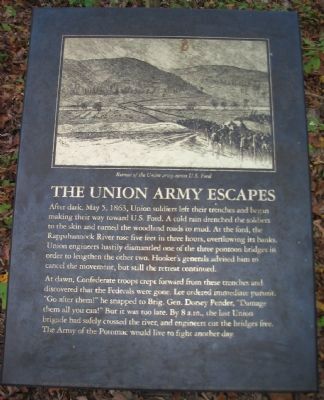
After dark, May 5, 1863, Union soldiers left their trenches and began making their way toward U.S. Ford. A cold rain drenched the soldiers to the skin and turned the woodland roads to mud. At the ford, the Rappahannock River rose five feet in three hours, overflowing its banks. Union engineers hastily dismantled one of the three pontoon bridges in order to lengthen the other two. Hooker's generals advised him to cancel the movement, but still the retreat continued.
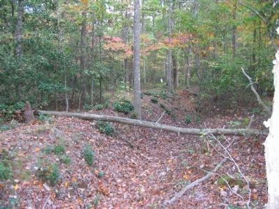
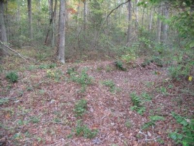
At dawn, Confederate troops crept forward from these trenches and discovered that the Federals were gone. Lee ordered immediate pursuit. "Go after them!" he snapped to Brig. Gen. Dorsey Pender, "Damage them all you can!" But it was too late. By 8 a.m., the last Union brigade had safely crossed the river, and engineers cut the bridges free. The Army of the Potomac would live to fight another day.
Topics. This historical marker is listed in this topic list: War, US Civil. A significant historical month for this entry is May 1821.
Location. 38° 18.787′ N, 77° 38.693′ W. Marker is near Spotsylvania Courthouse, Virginia, in Spotsylvania County. Marker is on Bullock Road, on the right when traveling east. Located at trail stop eleven on the Chancellorsville History Trail, at the Chancellorsville Battlefield. Touch for map. Marker is in this post office area: Spotsylvania VA 22553, United States of America. Touch for directions.
Other nearby markers. At least 8 other markers are within walking distance of this marker. Junction of Earthworks (about 400 feet away, measured in a direct line); Confederate Breakthrough (about 600 feet away); Flanking of Hays' Brigade (approx. 0.2 miles away); Collis Zouaves (approx. ¼ mile away); Chancellorsville Campaign (approx. ¼ mile away); Chancellorsville (approx. ¼ mile away); a different marker also named Chancellorsville Campaign (approx. ¼ mile away); Fredericksburg and Spotsylvania National Military Park (approx. ¼ mile away). Touch for a list and map of all markers in Spotsylvania Courthouse.
More about this marker. Above the text is a drawing of the retreat of the Union army across U.S. Ford.
Also see . . . Battle of Chancellorsville. National Park Service page detailing the battle. (Submitted on October 22, 2008, by Craig Swain of Leesburg, Virginia.)
Credits. This page was last revised on July 9, 2021. It was originally submitted on October 22, 2008, by Craig Swain of Leesburg, Virginia. This page has been viewed 837 times since then and 5 times this year. Photos: 1, 2, 3. submitted on October 22, 2008, by Craig Swain of Leesburg, Virginia.


