Gaithersburg in Montgomery County, Maryland — The American Northeast (Mid-Atlantic)
The Observatory
Latitude Observatory Park
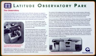
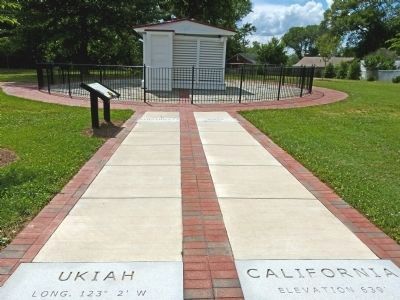
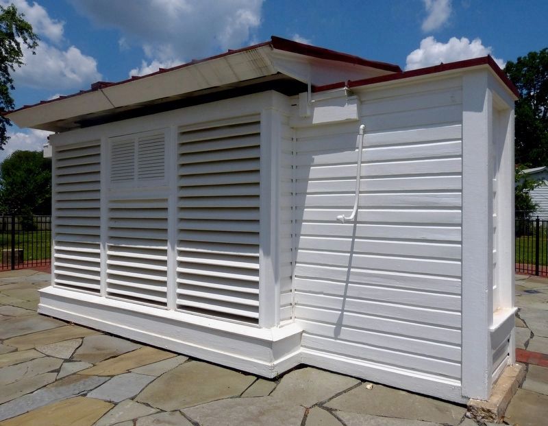
The construction of the Gaithersburg Latitude Observatory was completed in August 1899 and it received its Zenith Telescope (ZT) in September of that same year. The facility officially opened on October 18, 1899.
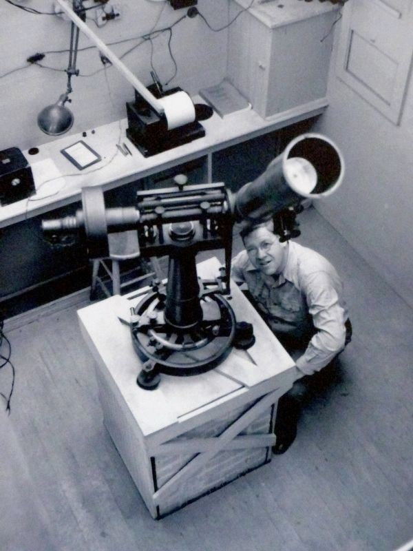
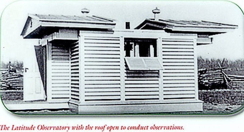
The Gaithersburg Observatory was constructed with a double wall of Georgia and Virginia pine to minimize the difference between the interior and exterior temperatures; a difference that might affect the heat-sensitive Zenith Telescope. The roof was designed in two parts that move east and west on iron wheels operated manually by a rope pulley system within the building. The six-foot, six-inch full opening was always used at Gaithersburg to accommodate the large Zenith Telescope. This type of telescope points at the zenith, or the direction pointing straight above a particular location. Zenith Telescopes are fitted with extremely sensitive spirit bubble levels to facilitate the accurate angle measurements required in the determination of astronomic latitude. The motion-sensitive ZT is mounted on a pier sunk into the ground to negate any vibrations transmitted from surrounding sources like traffic or trains.
The small size of the building and the esoteric character of the work that took place within speak modestly of the international importance of this landmark. The research conducted here provided all the data used in polar motion studies for decades, and fostered international cooperation that transcended the differences between nations during times of war and international strain.
From its construction in 1899 until the obsolescence of human observers forced its closing in 1982, the Gaithersburg Latitude Observatory played an integral role in the study of Earth's scientific behavior. Following its closure, the observatory remained unused and began to deteriorate. Fortunately, it was about this same time that the City of Gaithersburg formalized its historic preservation policies with the adoption of the Historic Preservation Ordinance and designated the observatory as its first officially designated historic site.
The National Oceanographic and Atmospheric Administration (NOAA) conveyed the abandoned observatory to the City for historic monument purposes in May 1987, after which the City granted an easement to the Maryland Historical Trust. Funds were secured for the observatory's restoration and on December 20, 1989, it was designated a National Historic Landmark. The Gaithersburg International Latitude Observatory, its Meridian Mark Pier, and five monuments are listed on the National Register of Historic Places.
Erected 2011 by the City of Gaithersburg.
Topics. This historical marker is listed in this topic list: Science & Medicine. A significant historical month for this entry is May 1987.
Location. 39° 8.202′ N, 77° 11.915′ W. Marker is in Gaithersburg, Maryland, in Montgomery County. Marker is on DeSellum Avenue, 0.2 miles south of George Street, on the right when traveling south. Touch for map. Marker is at or near this postal address: 100 DeSellum Avenue, Gaithersburg MD 20877, United States of America. Touch for directions.
Other nearby markers. At least 8 other markers are within walking distance of this marker. History and Purpose of the Gaithersburg Latitude Observatory (within shouting distance of this marker); Meridian Mark Pier and Geodetic Survey Monuments (within shouting distance of this marker); A Night at the Gaithersburg Latitude Observatory (within shouting distance of this marker); The Chandler Wobble (within shouting distance of this marker); General Edward Braddock (approx.
¼ mile away); The Gaithersburg Wye (approx. 0.3 miles away); DeSellum Family Cemetery (approx. 0.3 miles away); Schwartz House / City Hall (approx. 0.4 miles away). Touch for a list and map of all markers in Gaithersburg.
Also see . . . I Live an Upside-Down Life. by Earl Williams; Geodetic Letter, September 1936. . Williams tells of his life and duty as the observer at the Gaithersburg Latitude Observatory. (Submitted on August 17, 2019, by Allen C. Browne of Silver Spring, Maryland.)
Additional keywords. Geodesy
Credits. This page was last revised on September 22, 2019. It was originally submitted on July 1, 2012, by Allen C. Browne of Silver Spring, Maryland. This page has been viewed 496 times since then and 16 times this year. Last updated on January 17, 2019, by Bruce Guthrie of Silver Spring, Maryland. Photos: 1. submitted on July 1, 2012, by Allen C. Browne of Silver Spring, Maryland. 2. submitted on July 18, 2012, by Allen C. Browne of Silver Spring, Maryland. 3, 4, 5. submitted on August 17, 2019, by Allen C. Browne of Silver Spring, Maryland. • Andrew Ruppenstein was the editor who published this page.
