Near Coulee City in Grant County, Washington — The American West (Northwest)
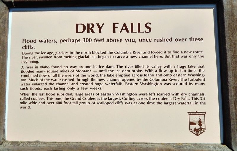
Dry Falls
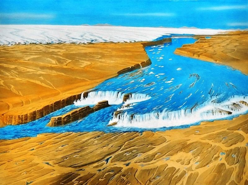
During the ice age, glaciers to the north blocked the Columbia River and forced it to find a new route. The river, swollen from melting glacial ice, began to carve a new channel here. But that was only the beginning.
A river in Idaho found no way around its ice dam. The river filled its valley with a huge lake that flooded many square miles of Montana — until the ice dam broke. With a flow up to ten times the combined flow of all the rivers of the world, the lake emptied across Idaho and onto eastern Washington. Much of the water rushed through the new channel opened by the Columbia River. The turbulent water enlarged the channel and created huge waterfalls. Eastern Washington was scoured by many such floods, each lasting only a few weeks.
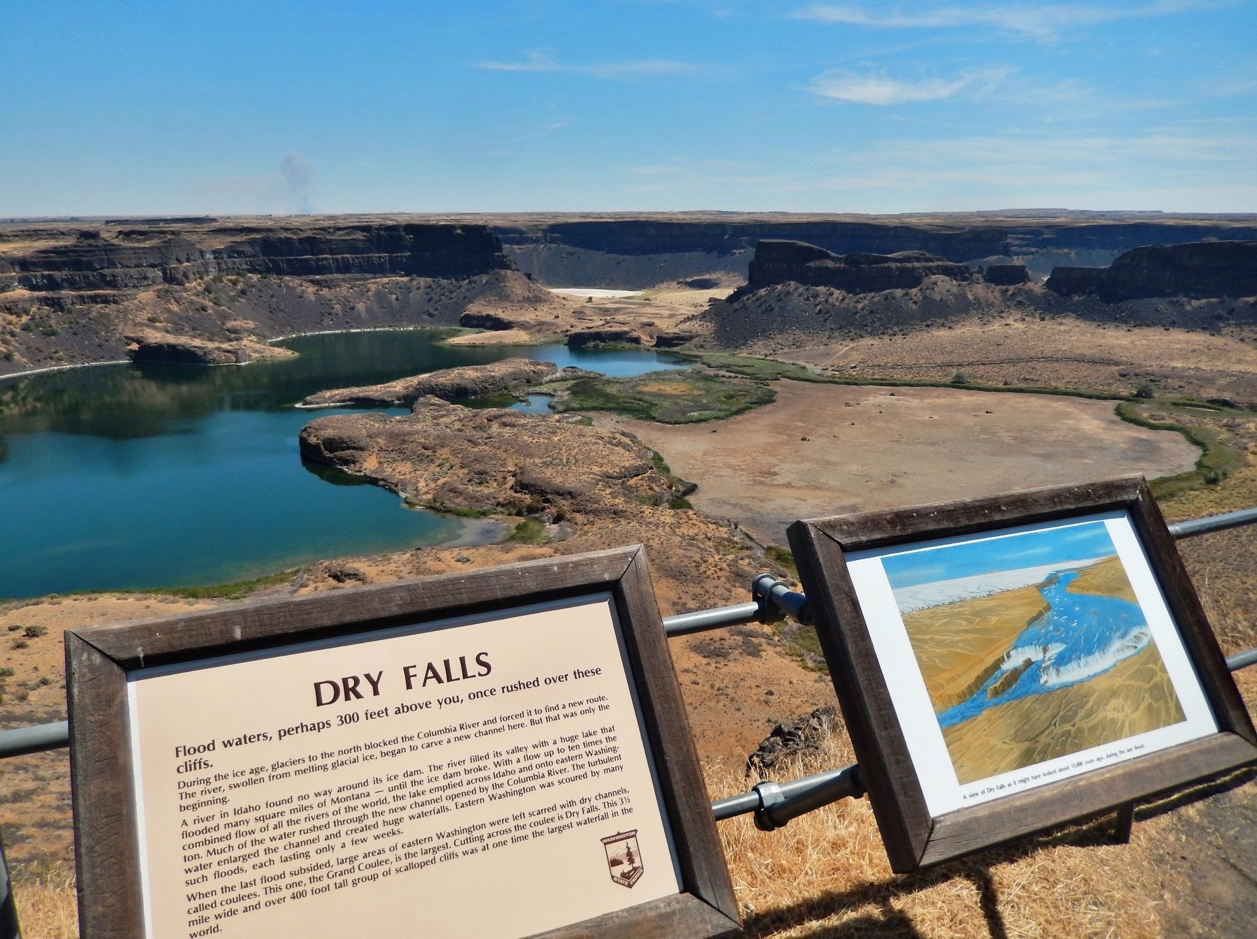
When the last flood subsided, large areas of eastern Washington were left scarred with dry channels, called coulees. This one, the Grand Coulee, is the largest. Cutting across the coulee is Dry Falls. This 3.5 mile wide and over 400 foot tall group of scalloped cliffs was at one time the largest waterfall in the world.
Erected by Washington State Parks.
Topics. This historical marker is listed in this topic list: Natural Features.
Location. 47° 36.438′ N, 119° 21.807′ W. Marker is near Coulee City, Washington, in Grant County. Marker can be reached from Park Lake Road Northeast (Washington Route 17) 2 miles south of U.S. 2, on the left when traveling south. Marker is located in Sun Lakes-Dry Falls State Park, on the east side of the Visitor Center parking lot, overlooking Dry Falls Lake. Touch for map. Marker is at or near this postal address: 34875 Park Lake Road Northeast, Coulee City WA 99115, United States of America. Touch for directions.
Other nearby markers. At least 6 other markers are within 13 miles of this marker, measured as the crow flies. In the Path of Cataclysmic Floods (a few steps from this marker); Explore Massive Floodscapes! (a few steps from this marker); World's Greatest Waterfall... Without Water! (a few steps from this marker); Story of Dry Falls (within shouting distance of this marker); The Cariboo Cattle Trail (approx. 6.7 miles away); History of the Stratford Area (approx. 13.1 miles away).
More about this marker. Marker is a wooden-framed, painted metal plaque, mounted horizontally at waist-level on the Dry Falls overlook railing.
Related markers. Click here for a list of markers that are related to this marker. Sun Lakes-Dry Falls State Park
Also see . . . Once the world’s largest waterfall, Washington’s Dry Falls now an oasis in the desert. This link presents professional quality video and photographs of Sun Lakes-Dry Falls State Park. (Submitted on February 8, 2019, by Cosmos Mariner of Cape Canaveral, Florida.)
Credits. This page was last revised on February 10, 2019. It was originally submitted on February 8, 2019, by Cosmos Mariner of Cape Canaveral, Florida. This page has been viewed 223 times since then and 23 times this year. Photos: 1, 2, 3. submitted on February 8, 2019, by Cosmos Mariner of Cape Canaveral, Florida. • Bill Pfingsten was the editor who published this page.


