Missoula in Missoula County, Montana — The American West (Mountains)
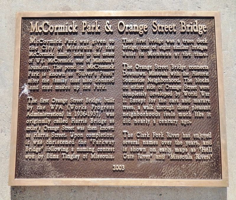
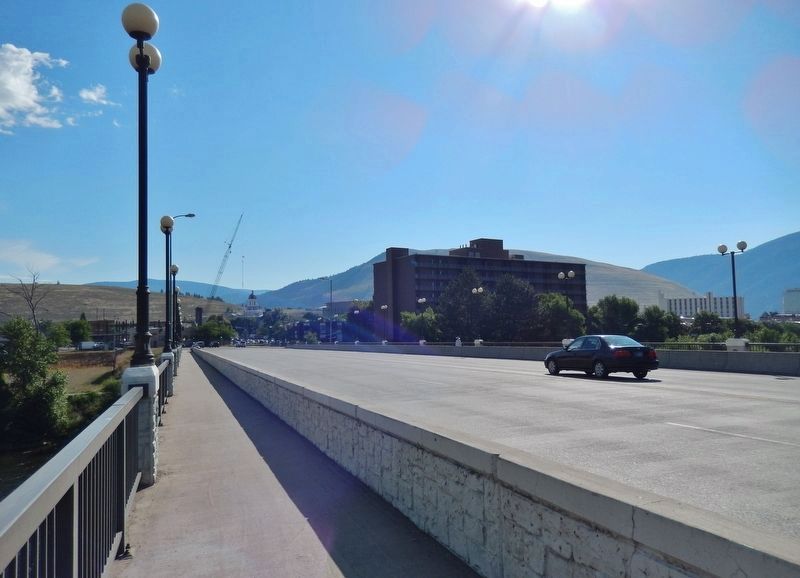
McCormick Park & Orange Street Bridge
The first Orange Street Bridge, built by the WPA (Works Progress Administration) in 1936-1937, was originally called Harris Bridge as today’s Orange Street was then known as Harris Street. Upon completion, it was christened the “Parkway Bridge” following a naming contest won by Edna Tingley of Missoula.
That first bridge was a truss deck bridge, one of eight similar bridges built in Montana at the time.
The Orange Street Bridge connects Downtown Missoula with the Historic Southside Neighborhood. The blocks on either side of Orange Street were completely developed by World War I. Except for the cars and mature trees, a walk through these pleasant neighborhoods feels much like it did nearly a century ago.
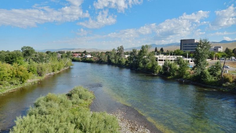
The Clark Fork River has enjoyed several names over the years, and is shown on early maps as “Hell Gate River” and “Missoula River.”
Erected 2003.
Topics and series. This historical marker is listed in these topic lists: Bridges & Viaducts • Charity & Public Work • Parks & Recreational Areas. In addition, it is included in the Works Progress Administration (WPA) projects series list.
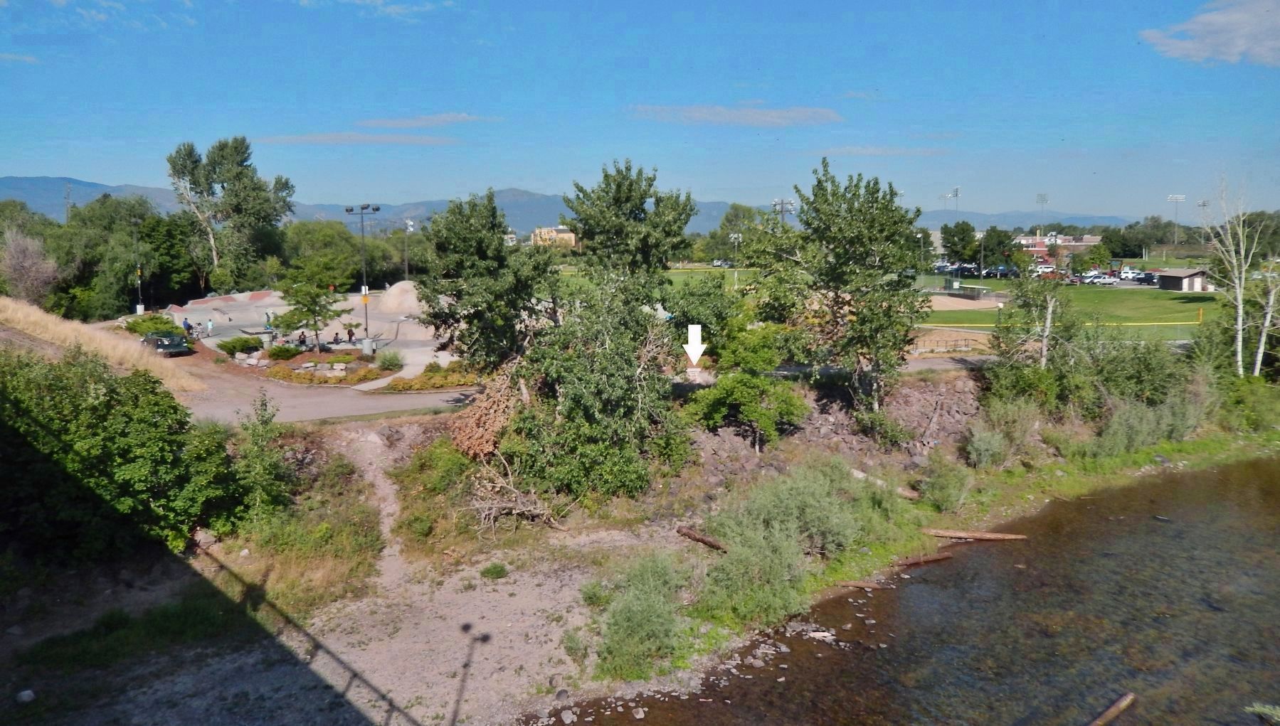
Location. 46° 52.296′ N, 114° 0.105′ W. Marker is in Missoula, Montana, in Missoula County. Marker can be reached from Cottonwood Street north of Cregg Lane, on the right when traveling north. Marker is located along the Riverfront Trail, on the east side of McCormick Park, overlooking the Clark Fork River. Touch for map. Marker is at or near this postal address: 600 Cregg Lane, Missoula MT 59801, United States of America. Touch for directions.
Other nearby markers. At least 8 other markers are within walking distance of this marker. Gleim Building (approx. 0.2 miles away); Gleim Building II (approx. 0.2 miles away); Lenox Flats (approx. ¼ mile away); Studebaker Building (approx. ¼ mile away); St. Francis Xavier Church (approx. ¼ mile away); Northwest Passage (approx. 0.3 miles away); Missoula County Courthouse (approx. 0.3 miles away); Name That River (approx. 0.3 miles away). Touch for a list and map of all markers in Missoula.
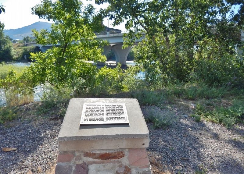
More about this marker. Marker is an embossed metal tablet, mounted horizontally on a waist-high stone and masonry pedestal.
Credits. This page was last revised on August 12, 2021. It was originally submitted on February 24, 2019, by Cosmos Mariner of Cape Canaveral, Florida. This page has been viewed 354 times since then and 44 times this year. Photos: 1. submitted on February 24, 2019, by Cosmos Mariner of Cape Canaveral, Florida. 2, 3, 4, 5. submitted on February 25, 2019, by Cosmos Mariner of Cape Canaveral, Florida. • Andrew Ruppenstein was the editor who published this page.
