Near Greenough in Missoula County, Montana — The American West (Mountains)
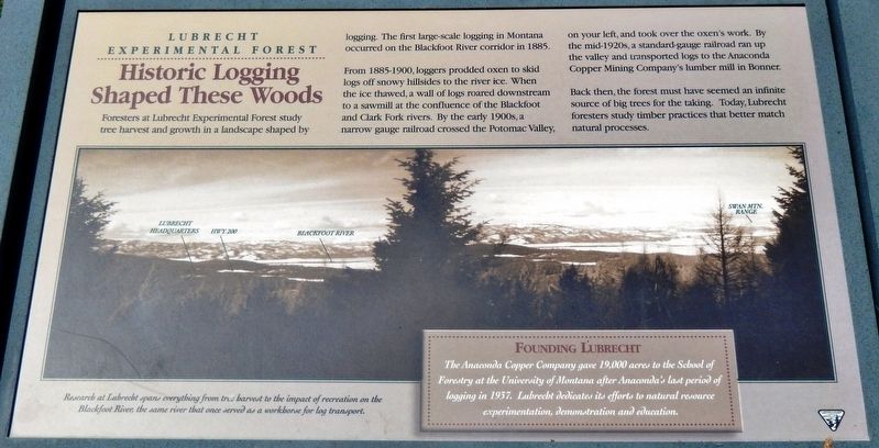
Historic Logging Shaped These Woods
Lubrecht Experimental Forest
From 1885-1900, loggers prodded oxen to skid logs off snowy hillsides to the river ice. When the ice thawed, a wall of logs roared downstream to a sawmill at the confluence of the Blackfoot and Clark Fork rivers. By the early 1900s, a narrow gauge railroad crossed the Potomac Valley, on your left, and took over the oxen's work. By the mid-1920s, a standard-gauge railroad ran up the valley and transported logs to the Anaconda Copper Mining Company's lumber mill in Bonner.
Back then, the forest must have seemed an infinite source of big trees for the taking. Today, Lubrecht foresters study timber practices that better match natural processes.
Research at Lubrecht spans everything from tree harvest to the impact of recreation on the Blackfoot River; the same river that once served as a workhorse for log transport.
Founding Lubrecht
The Anaconda Copper Company gave 19,000 acres to the School of Forestry at the University of Montana after Anaconda’s last period of logging in 1937. Lubrecht dedicates its efforts to natural resource experimentation, demonstration and education.
Erected by Bureau of Land Management.
Topics. This historical marker is listed in these topic lists: Horticulture & Forestry • Industry & Commerce • Science & Medicine. A significant historical year for this entry is 1885.
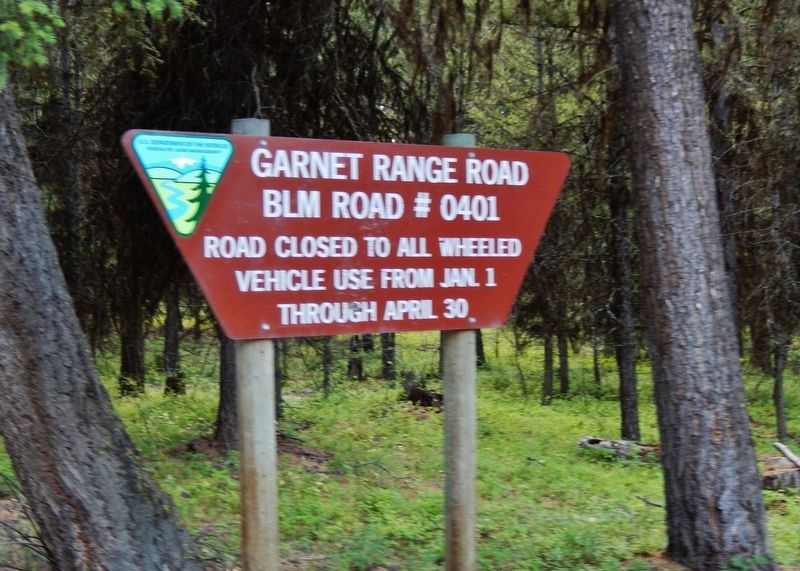
Location. 46° 52.071′ N, 113° 26.363′ W. Marker is near Greenough, Montana, in Missoula County. Marker is on Garnet Range Road, 2.6 miles south of State Highway 200, on the left when traveling south. Marker is located in a modest pull-out on the north side of the road, overlooking the forest. Touch for map. Marker is in this post office area: Bonner MT 59823, United States of America. Touch for directions.
Other nearby markers. At least 8 other markers are within 13 miles of this marker, measured as the crow flies. Ghost Town Byway (approx. 1.7 miles away); Sand Park Cemetery (approx. 3˝ miles away); A Vast Network of Indigenous Trails. (approx. 9.9 miles away); Big Blackfoot Milling Company (approx. 9.9 miles away); Souvenirs of the Ice Age (approx. 9.9 miles away); Big Blackfoot Railroad (approx. 10.3 miles away); Madison Limestone and the Garnet Mountains (approx. 11.9 miles away); The Blackfoot River Corridor (approx. 12.4 miles away). Touch for a list and map of all markers in Greenough.
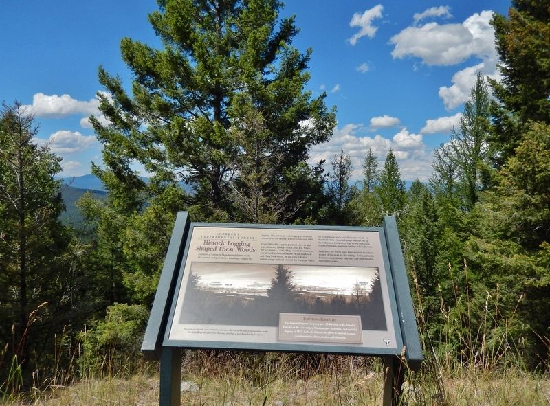
More about this marker. Marker is a framed composite plaque, mounted horizontally on waist-high metal posts.
Also see . . . Lubrecht Forest Research Projects
. Lubrecht Forest is managed by the Montana Forest and Conservation Experiment Station. The primary objective of the forest is to "provide a location for research in forestry, resource management, and ecosystem science." The secondary objective is to "utilize forest research and management activities to demonstrate forest management practices and to transfer knowledge through undergraduate and graduate instruction, extension, and public education and outreach programs." (Submitted on February 25, 2019, by Cosmos Mariner of Cape Canaveral, Florida.)
Credits. This page was last revised on February 26, 2019. It was originally submitted on February 25, 2019, by Cosmos Mariner of Cape Canaveral, Florida. This page has been viewed 240 times since then and 37 times this year. Photos: 1, 2, 3, 4. submitted on February 25, 2019, by Cosmos Mariner of Cape Canaveral, Florida. • Bill Pfingsten was the editor who published this page.


