Richmond Hill in Bryan County, Georgia — The American South (South Atlantic)
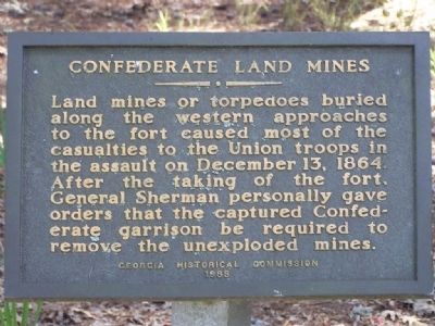
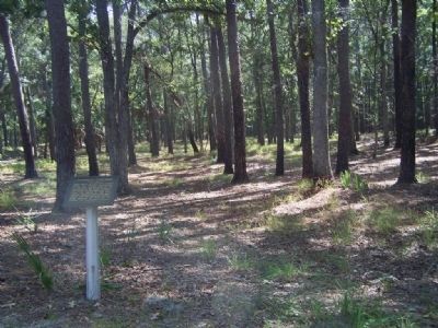
Confederate Land Mines
Erected 1963 by Georgia Historical Commission.
Topics and series. This historical marker is listed in these topic lists: Forts and Castles • War, US Civil. In addition, it is included in the Sherman’s March to the Sea series list. A significant historical month for this entry is December 1806.
Location. 31° 53.437′ N, 81° 11.751′ W. Marker is in Richmond Hill, Georgia, in Bryan County. Marker is on Fort McAllister Road. Located in Fort McAllister State Park. Touch for map. Marker is in this post office area: Richmond Hill GA 31324, United States of America. Touch for directions.
Other nearby markers. At least 8 other markers are within walking distance of this marker. Columbiad (about 300 feet away, measured in a direct line); Major Gallie's Gun (about 300 feet away); Capt. Nicholas Clinch (about 300 feet away); Cheves' Rice Mill (about 300 feet away); Position of the Monitors (about 300 feet away); Obstruction of River (about 300 feet away); Damage From Naval Bombardments (about 400 feet away); Tom Cat (about 800 feet away). Touch for a list and map of all markers in Richmond Hill.
Also see . . . The Development of Mine Warfare By Norman Youngblood. Page 37/38 The American Civil War (Submitted on October 28, 2008, by Mike Stroud of Bluffton, South Carolina.)
Credits. This page was last revised on March 12, 2019. It was originally submitted on October 28, 2008, by Mike Stroud of Bluffton, South Carolina. This page has been viewed 2,177 times since then and 30 times this year. Photos: 1, 2, 3. submitted on October 28, 2008, by Mike Stroud of Bluffton, South Carolina. • Craig Swain was the editor who published this page.


