Adams Morgan in Northwest Washington in Washington, District of Columbia — The American Northeast (Mid-Atlantic)
Urban Renewal Era
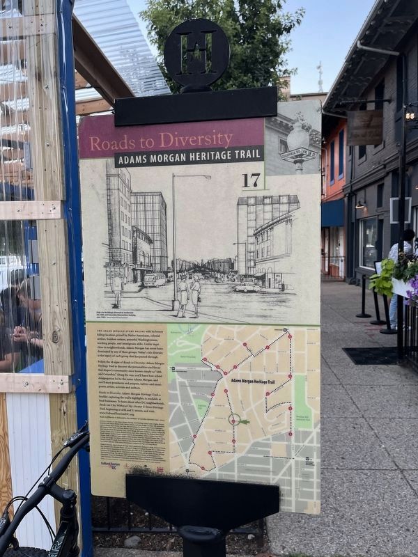
Roads to Diversity
— Adams Morgan Heritage Trail —
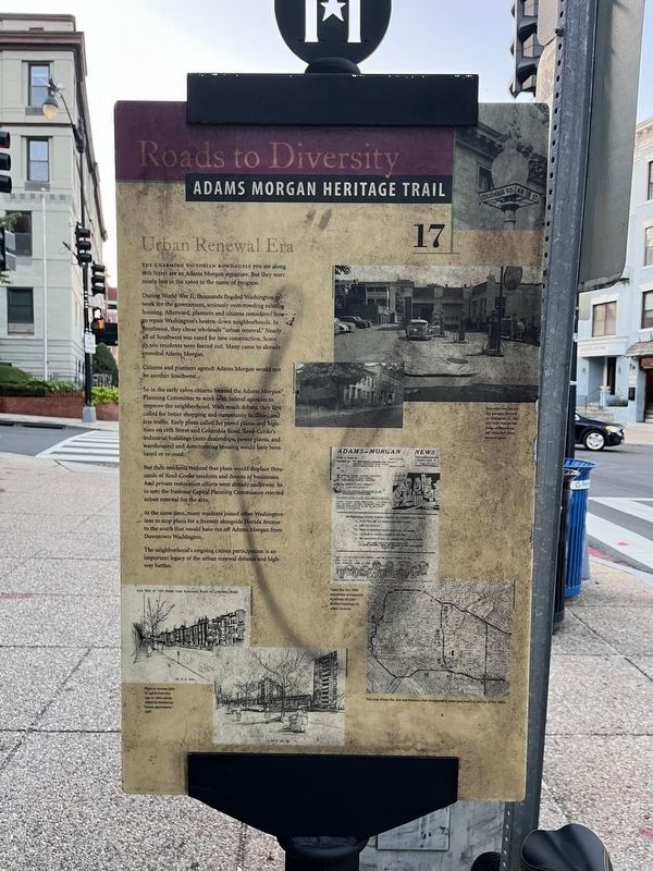
The charming Victorian rowhouses you see along 18th Street are an Adams Morgan signature. But they were nearly lost in the 1960s in the name of progress.
During World War II, thousands flooded Washington to work for the government, seriously overcrowding existing housing. Afterward, planners and citizens considered how to repair Washington's beaten-down neighborhoods. In Southwest, they chose wholesale "urban renewal." Nearly all of Southwest was razed for new construction. Some 23,500 residents were forced out. Many came to already crowded Adams Morgan.
Citizens and planners agreed: Adams Morgan would not be another Southwest.
So in the early 1960s citizens formed the Adams Morgan Planning Committee to work with federal agencies to improve the neighborhood. With much debate, they first called for better shopping and community facilities, and less traffic. Early plans called for paved plazas and high-rises on 18th Street and Columbia Road. Reed-Cooke's industrial buildings (auto dealerships, power plants, and warehouses) and deteriorating housing would have been razed or re-used.
But then residents realized that plans would displace thousands of Reed-Cooke residents and dozens of businesses. And private restoration efforts were already underway. So in 1965 the National Capital Planning Commission rejected urban renewal for the area.
At the same time, many residents joined other Washingtonians to stop plans for a freeway alongside Florida Avenue to the south that would have cut off Adams Morgan from Downtown Washington.
The neighborhood's ongoing citizen participation is an important legacy of urban renewal debates and highway battles.
Erected 2005 by Cultural Tourism DC. (Marker Number 17.)
Topics and series. This historical marker is listed in these topic lists: Architecture • Roads & Vehicles • Settlements & Settlers • War, World II. In addition, it is included in the Adams Morgan Heritage Trail series list. A significant historical year for this entry is 1965.
Location. 38° 55.172′ N, 77° 2.506′ W. Marker is in Northwest Washington in Washington, District of Columbia. It is in Adams Morgan. Marker is at the intersection of 18th Street Northwest and Kalorama Road Northwest, on the right when traveling south on 18th Street Northwest. Touch for map. Marker is at or near this postal address: 2228 18th Street Northwest, Washington DC 20009, United States of America. Touch for directions.
Other nearby markers. At least 8 other markers are within walking distance of this marker. Building a Better Neighborhood (about 600 feet away, measured in a direct line); The Artistic Life (approx. 0.2 miles away); Kalorama Triangle (approx. 0.2 miles away); Calvin T.S. Brent Residence
Also see . . . Roads to Diversity Pamphlet. (Submitted on October 21, 2017, by Devry Becker Jones of Washington, District of Columbia.)
Credits. This page was last revised on January 30, 2023. It was originally submitted on October 21, 2017, by Devry Becker Jones of Washington, District of Columbia. This page has been viewed 298 times since then and 18 times this year. Last updated on March 7, 2019, by Devry Becker Jones of Washington, District of Columbia. Photos: 1, 2. submitted on July 3, 2022, by Devry Becker Jones of Washington, District of Columbia. 3. submitted on March 9, 2018, by Devry Becker Jones of Washington, District of Columbia. • Bill Pfingsten was the editor who published this page.


