Pensacola in Escambia County, Florida — The American South (South Atlantic)
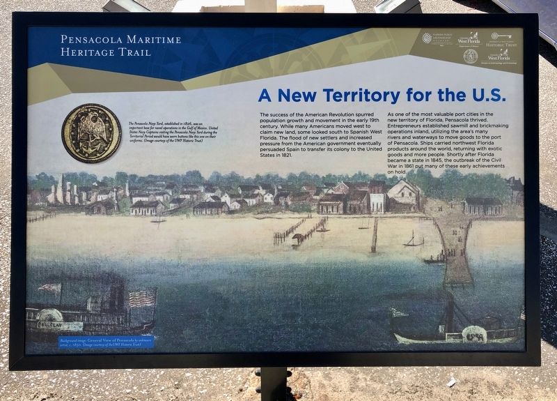
A New Territory for the U.S.
— Pensacola Maritime Heritage Trail —
As one of the most valuable port cities in the new territory of Florida, Pensacola thrived. Entrepreneurs established sawmill and brickmaking operations inland, utilizing the area's many rivers and waterways to move goods to the port of Pensacola. Ships carried northwest Florida products around the world, returning with exotic goods and more people. Shortly after Florida became a state in 1845, the outbreak of the Civil War in 1861 put many of these early achievements on hold.
Photo captions:
Background image: General View of Pensacola by unknown artist, c. 1850. (Image courtesy of the UWF Historic Trust)
The Pensacola Navy Yard, established in 1826, was an important base for naval operations in the Gulf of Mexico. United States Navy Captains visiting the Pensacola Navy Yard during the Territorial Period would have worn buttons like this one on their uniforms. (Image courtesy of the UWF Historic Trust)
Erected 2016 by the City of Pensacola and the University of West Florida Historic Trust. (Marker Number F.)
Topics. This historical marker is listed in these topic lists: Industry & Commerce • Settlements & Settlers • Waterways & Vessels. A significant historical year for this entry is 1821.
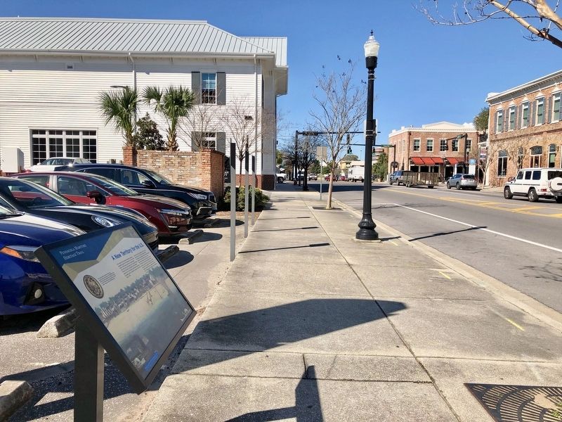
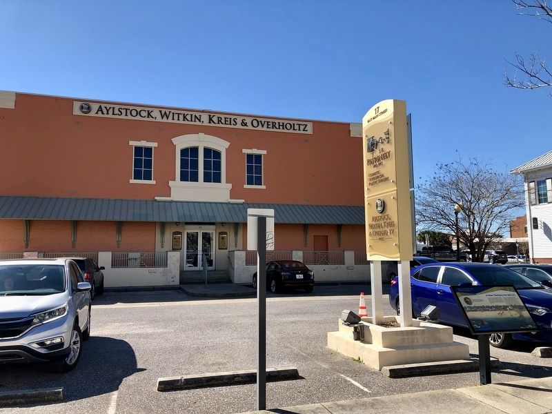
Location. 30° 24.457′ N, 87° 12.809′ W. Marker is in Pensacola, Florida, in Escambia County. Marker is at the intersection of East Main Street and South Jefferson Street when traveling east on East Main Street. Touch for map. Marker is at or near this postal address: 17 East Main Street, Pensacola FL 32502, United States of America. Touch for directions.
Other nearby markers. At least 8 other markers are within walking distance of this marker. Industry At Sea (within shouting distance of this marker); Trader Jon's (about 300 feet away, measured in a direct line); 407 South Palafox (about 300 feet away); Old Escambia County Court of Record Building (1912-1978)/Pensacola Little Theater-Pensacola Cultural (about 300 feet away); Gen. Andrew Jackson (about 300 feet away); Officer's Room and Kitchen (about 300 feet away); Trenches & Trous-de-Loup (about 400 feet away); A Spanish Town (about 400 feet away). Touch for a list and map of all markers in Pensacola.
Credits. This page was last revised on October 9, 2020. It was originally submitted on March 7, 2019, by Mark Hilton of Montgomery, Alabama. This page has been viewed 267 times since then and 29 times this year. Photos: 1, 2, 3. submitted on March 7, 2019, by Mark Hilton of Montgomery, Alabama.


