Smithsburg in Washington County, Maryland — The American Northeast (Mid-Atlantic)
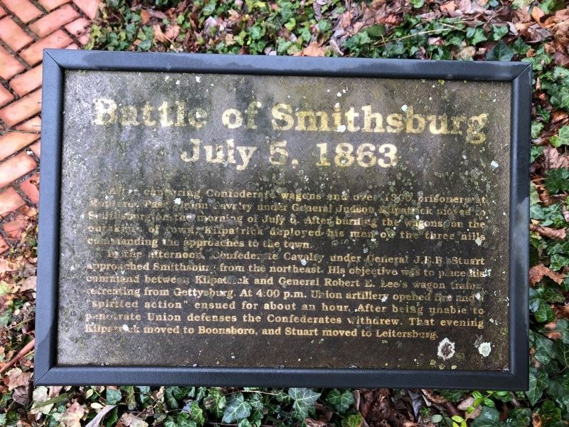
Battle of Smithsburg
July 5, 1863
In the afternoon, Confederate Cavalry under J.E.B. Stuart approached Smithsburg from the northeast. His objective was to place his command between Kilpatrick and General Robert E. Lee's wagon train retreating from Gettysburg. At 4:00 p.m. Union artillery opened fire and "spirited action" ensued for about an hour. After being unable to penetrate Union defenses the Confederates withdrew. That evening Kilpatrick moved to Boonsboro, and Stuart moved to Leitersburg.
Erected by Washington County Historical Advisory Committee.
Topics. This historical marker is listed in this topic list: War, US Civil. A significant historical date for this entry is July 5, 1863.
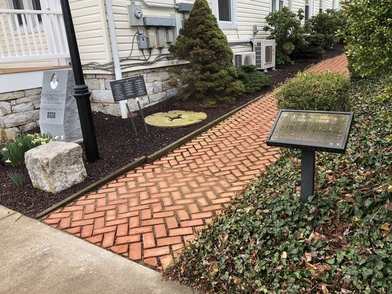
Location. 39° 39.213′ N, 77° 34.515′ W. Marker has been reported damaged. Marker is in Smithsburg, Maryland, in Washington County. Marker is on West Water Street (Maryland Route 66) east of Barkdoll Lane, on the right when traveling east. Touch for map. Marker is at or near this postal address: 21 West Water Street, Smithsburg MD 21783, United States of America. Touch for directions.
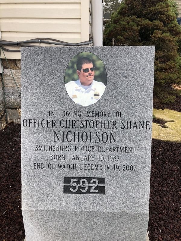
Other nearby markers. At least 8 other markers are within walking distance of this location. "Stuffle" Christopher Smith (a few steps from this marker); Memorial to World War One Veterans of Smithsburg and Community (approx. 0.2 miles away); Veterans Memorial (approx. 0.2 miles away); Gettysburg Campaign (approx. 0.2 miles away); Respite at Smithsburg (approx. 0.2 miles away); Memorial to World War II Korea and Vietnam Veterans of Smithsburg and Community (approx. 0.2 miles away); Officer Christopher Shane Nicholson (approx. 0.2 miles away); a different marker also named Gettysburg Campaign (approx. 0.3 miles away). Touch for a list and map of all markers in Smithsburg.
Credits. This page was last revised on May 20, 2020. It was originally submitted on April 6, 2019, by Devry Becker Jones of Washington, District of Columbia. This page has been viewed 693 times since then and 60 times this year. Photos: 1, 2, 3. submitted on April 6, 2019, by Devry Becker Jones of Washington, District of Columbia.


