Near Longwood in Clarke County, Virginia — The American South (Mid-Atlantic)
Thoburnís Rescue
Battle of Cool Spring
ó Earlyís 1864 Attack on Washington ó
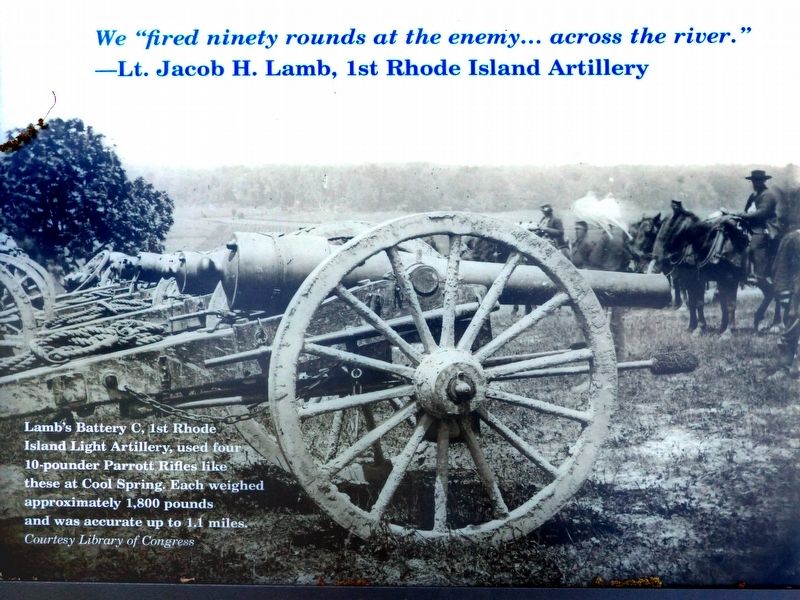
We “fired ninety rounds at the enemyÖ across the river.”
—Lt. Jacob H. Lamb, 1st Rhode Island Light Artillery.
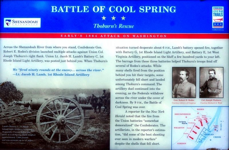
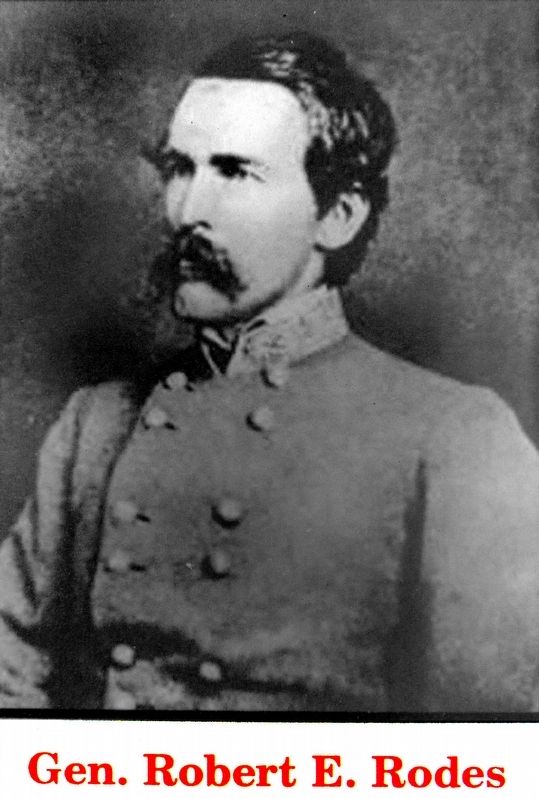
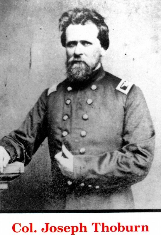
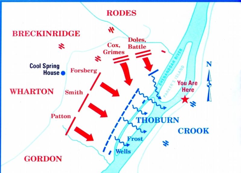
Across the Shenandoah River from where you stand, Confederate Gen. Robert E. Rodes's division launched multiple attacks against Union Col. Joseph Thoburn's right flank. Union Lt. Jacob H. Lamb's Battery C, 1st Rhode Island Light Artillery, was posted just behind you. When Thoburnís situation turned desperate about 6 P.M., Lamb's battery opened fire, together with Battery G, 1st Rhode Island Light Artillery, and Battery E, 1st West Virginia Artillery, positioned on the bluff a few hundred yards to your left. The barrage from these three batteries helped Thoburn's troops fend off several of Rodes's attacks. While many shells fired from the position behind you hit their targets, some unfortunately fell short and landed among Thoburn's command. The artillery duel continued into the evening, as the Federals withdrew across the river under the cover of darkness. By 9 P.M., the Battle of Cool Spring was over.
A reporter for the New York Herald noted that the fire from the Union batteries "somewhat demoralized" the Confederates. The artillerists, in the reporter's estimation, "did some of the best shooting ever seen in modern warfare" despite the shells that fell short.
Erected by Shenandoah University, Virginia Civil War Trails.
Topics and series. This historical marker is listed in this topic list: War, US Civil. In addition, it is included in the Virginia Civil War Trails series list. A significant historical date for this entry is July 18, 1864.
Location. 39° 8.999′ N, 77° 51.58′ W. Marker is near Longwood, Virginia, in Clarke County. Marker can be reached from the intersection of Parker Lane and Alder Lane, on the left when traveling north. Touch for map. Marker is at or near this postal address: 1400 Parker Lane, Bluemont VA 20135, United States of America. Touch for directions.
Other nearby markers. At least 8 other markers are within 3 miles of this marker, measured as the crow flies. Confederate Counterattack and Union Retreat (approx. one mile away); Col. George D. Wells Leads the Way (approx. one mile away); Judge Parker's ďRetreatĒ & the Battle of Cool Spring (approx. 1.1 miles away); Battle of Cool Spring (approx. 1.1 miles away); a different marker also named Battle of Cool Spring (approx. 1.6 miles away); Wickliffe Church (approx. 2.1 miles away); Appalachian Trail and Bears Den (approx. 2.4 miles away); The Retreat (approx. 2.4 miles away). Touch for a list and map of all markers in Longwood.
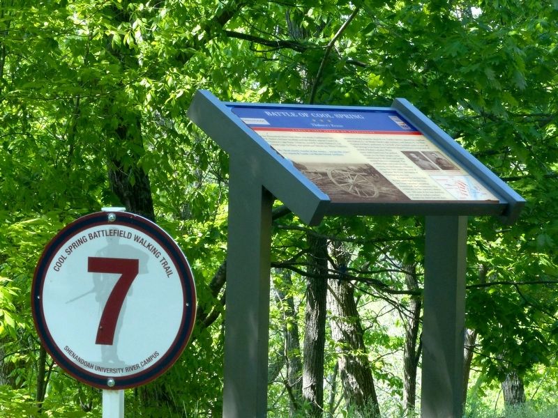
Also see . . . (PDF) Touring the Battle of Cool Spring. This marker is at No.7 on the walking tour. (Submitted on May 2, 2019, by Allen C. Browne of Silver Spring, Maryland.)
Photographed By Allen C. Browne, April 30, 2019
3. Lamb's Battery
Lambís Battery C, 1st Rhode Island Light Artillery, used four 10-pounder Parrott Rifles like these at Cool Spring. Each Weighed approximately 1,800 pounds and was accurate up to 1.4 miles. Close-up of photo on markers, Courtesy Library of Congress
Credits. This page was last revised on October 11, 2020. It was originally submitted on May 2, 2019, by Allen C. Browne of Silver Spring, Maryland. This page has been viewed 341 times since then and 48 times this year. Photos: 1, 2, 3, 4, 5, 6. submitted on May 2, 2019, by Allen C. Browne of Silver Spring, Maryland. • Bernard Fisher was the editor who published this page.
