Kingsport in Sullivan County, Tennessee — The American South (East South Central)
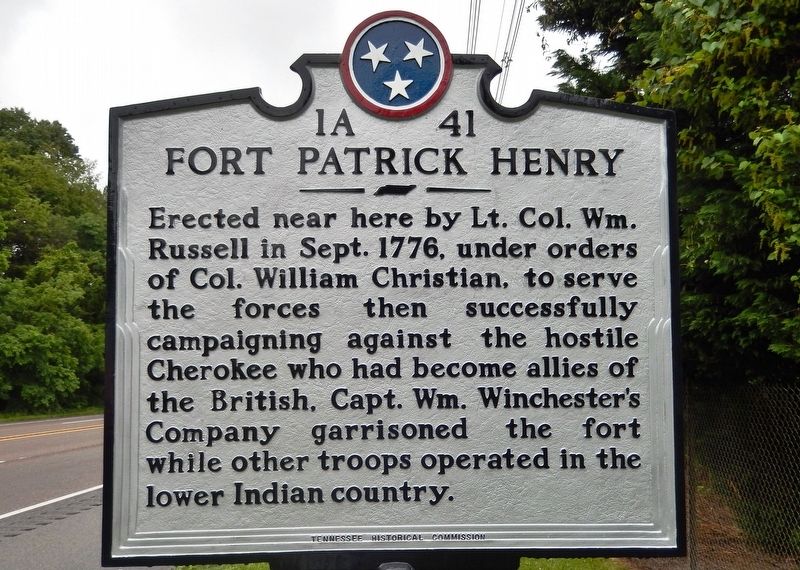
Fort Patrick Henry
Erected by Tennessee Historical Commission. (Marker Number 1A-41.)
Topics. This historical marker is listed in these topic lists: Forts and Castles • Native Americans • War, US Revolutionary. A significant historical month for this entry is September 1776.
Location. 36° 30.863′ N, 82° 31.988′ W. Marker is in Kingsport, Tennessee, in Sullivan County. Marker is on South John B. Dennis Highway (Tennessee Route 93) 0.2 miles south of Lincoln Street, on the right when traveling south. Touch for map. Marker is at or near this postal address: South John B Dennis Highway, Kingsport TN 37664, United States of America. Touch for directions.
Other nearby markers. At least 8 other markers are within 2 miles of this marker, measured as the crow flies. Battle of Island Flats (approx. 1.4 miles away); a different marker also named Battle of Island Flats (approx. 1.6 miles away); Avery Treaty (approx. 1.6 miles away); Donelson Flotilla (approx. 1.6 miles away); Pactolus Ironworks (approx. 1.6 miles away); Martin-Dobyns House (approx. 1.8 miles away); Douglass High School (approx. 1.8 miles away); Stone-Penn House (approx. 2.1 miles away). Touch for a list and map of all markers in Kingsport.
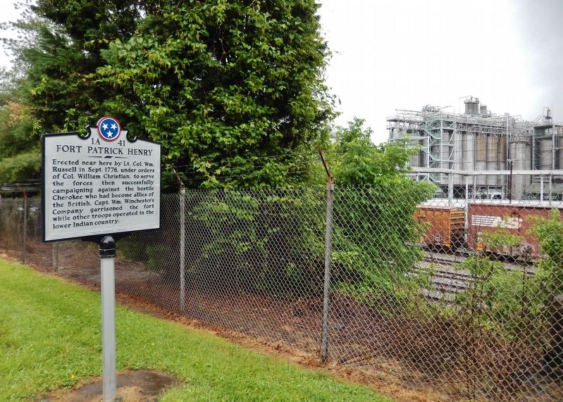
Regarding Fort Patrick Henry. The fort was located nearby, along the river, on land now part of the Eastman Chemical manufacturing site.
Also see . . . Fort Patrick Henry. The fort was built as a 100-yard square bastioned post and enclosed some three acres. Three sides were enclosed by the stockade and the fourth side was along the high bank of the Holston River. The fort was garrisoned throughout the Revolutionary War, and later became a jumping off point for settlers heading to White's Fort (Knoxville) and French Lick (Nashville). (Submitted on May 12, 2019, by Cosmos Mariner of Cape Canaveral, Florida.)
Credits. This page was last revised on May 12, 2019. It was originally submitted on May 12, 2019, by Cosmos Mariner of Cape Canaveral, Florida. This page has been viewed 668 times since then and 50 times this year. Photos: 1, 2, 3. submitted on May 12, 2019, by Cosmos Mariner of Cape Canaveral, Florida.


