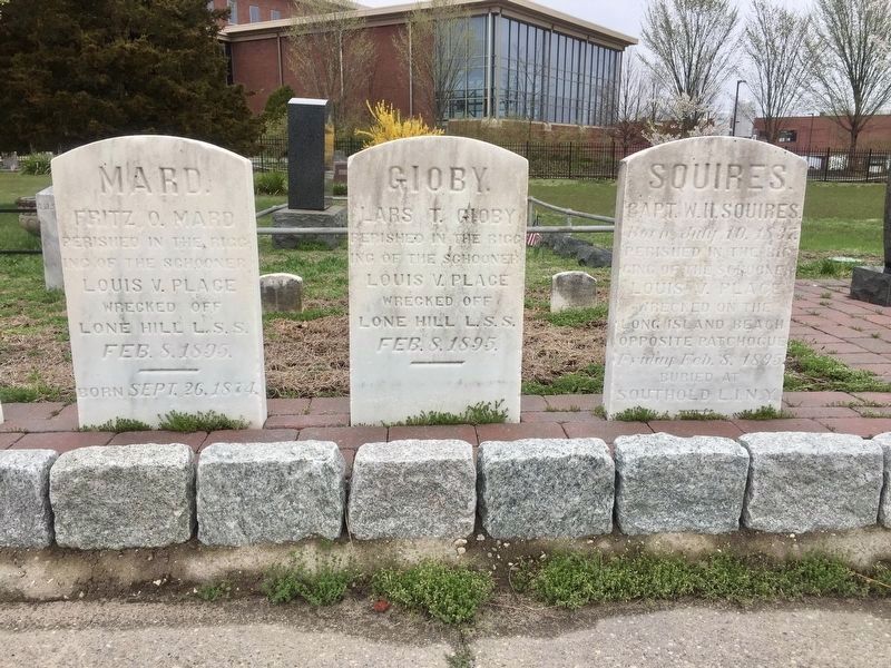
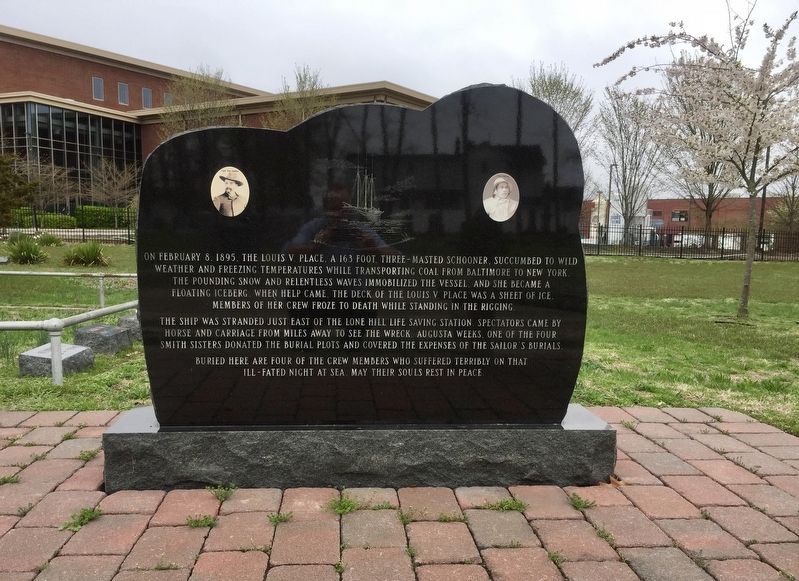
The Wreck of the Louis V. Place
The ship was stranded just east of the Lone Hill Life Saving Station. Spectators came by horse and carriage from miles away to see the wreck. Augusta Weeks, one of the four Smith Sisters donated the burial plots and covered the expenses of the sailor's burials.
Buried here are four of the crew members who suffered terribly on that
ill-fated night at sea. May their souls rest in peace.
Topics. This historical marker is listed in these topic lists: Disasters • Waterways & Vessels. A significant historical date for this entry is February 8, 1895.
Location. 40° 45.953′ N, 73° 1.401′ W. Marker is in Patchogue, New York, in Suffolk County. Marker is at the intersection of Montauk Highway (Route 27A) and River Drive on Montauk Highway. Touch for map. Marker is in this post office area: Patchogue NY 11772, United States of America. Touch for directions.
Other nearby markers. At least 8 other markers are within 2 miles of this marker, measured as the crow flies. The Wreck of the Nahum Chapin (a few steps from this marker); Site of Hart's Tavern
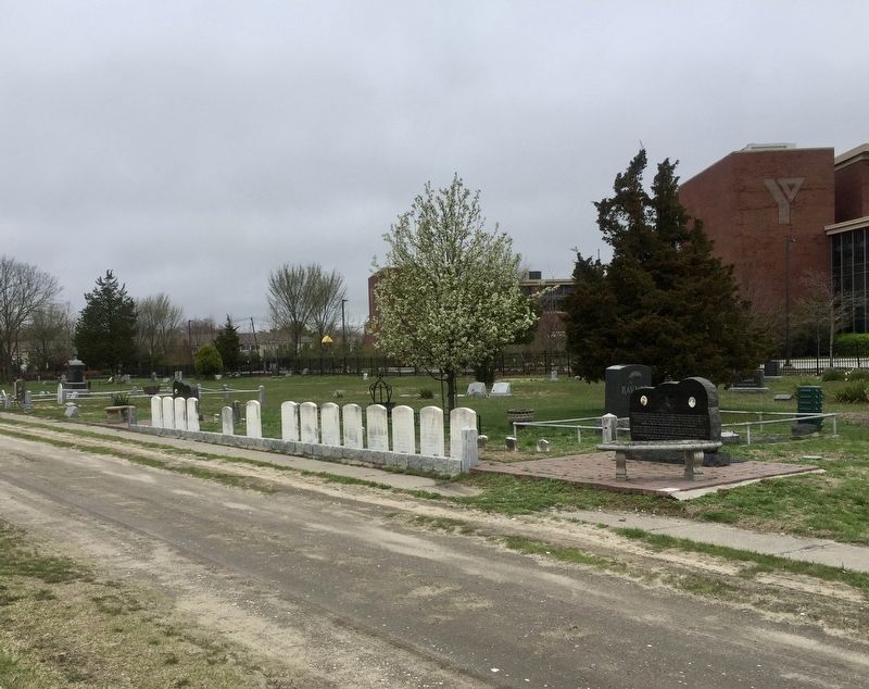
More about this marker. The marker is located in the middle of Lakeview Cemetery, approximately 150 ft. into the cemetery from the Montauk Highway entrance, on the right of the service road as one goes in.
Also see . . .
1. Wreck of the Louis V. Place (National Park Service). "The wreck of the Louis V. Place is one of the best known wrecks that occurred on Fire Island. The small schooner carrying a cargo of coal from Baltimore to New York stranded on a sand bar east of the Lone Hill lifesaving station in the icy conditions of February 1895....Six crew members perished during the rescue efforts, two were rescued, only one survived. Eight plots were placed in the
2. Wreck of the Schooner Louis V. Place (Long Island Genealogy). (Submitted on May 20, 2019, by Andrew Ruppenstein of Lamorinda, California.)
Additional keywords. The Wreck of the Louis V. Place

Lars T. Gioby, "perished in the rigging", but not buried here.
Capt. W.H. Squires, "perished in the rigging", but buried in Southold, Long Island.
Credits. This page was last revised on May 20, 2019. It was originally submitted on May 20, 2019, by Andrew Ruppenstein of Lamorinda, California. This page has been viewed 466 times since then and 53 times this year. Photos: 1, 2, 3. submitted on May 20, 2019, by Andrew Ruppenstein of Lamorinda, California.

