St. Simons Island in Glynn County, Georgia — The American South (South Atlantic)
Captain Gascoigne
Inscription.
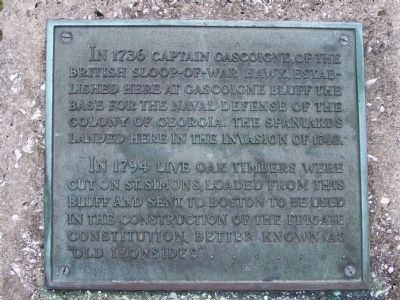
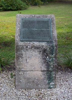
In 1736 Captain Gascoigne of the British Sloop-of War Hawk, established here at Gascoigne Bluff the base for the naval defense of the Colony of Georgia. The Spaniards landed here in the invasion of 1742.
In 1794 Live Oak timbers were cut on St. Simons, loaded from this bluff and sent to Boston to be used in the construction of the Frigate Constitution, better known as "Old Ironsides"......
Topics. This historical marker is listed in these topic lists: Colonial Era • Settlements & Settlers. A significant historical year for this entry is 1736.
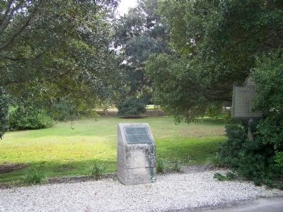
Location. 31° 9.946′ N, 81° 24.591′ W. Marker is on St. Simons Island, Georgia, in Glynn County. Marker is on Demere Rd, on the right when traveling east. at the Park; Island side of F J Torras Causeway, between Demere Rd and King's Way. Touch for map. Marker is in this post office area: Saint Simons Island GA 31522, United States of America. Touch for directions.
Other nearby markers. At least 8 other markers are within walking distance of this marker. Gascoigne Bluff (a few steps from this marker); Hamilton Plantation (approx. 0.3 miles away); a different marker also named Gascoigne Bluff (approx. 0.3 miles away); Cassina Garden Club Houses (approx. 0.4 miles away); A Man Named Wesley Passed This Way / Lovely Lane Chapel (approx. half a mile away); Epworth By The Sea / Epworth Pioneers (approx. half a mile away); A Mission By The Sea / Susannah Wesley (approx. half a mile away); Lovely Lane Chapel (approx. half a mile away). Touch for a list and map of all markers in St. Simons Island.
Also see . . . Gascoigne Bluff By Margaret Davis Cate. A story of Gascoigne Bluff (Submitted on November 8, 2008, by Mike Stroud of Bluffton, South Carolina.)
Credits. This page was last revised on November 23, 2020. It was originally submitted on November 8, 2008, by Mike Stroud of Bluffton, South Carolina. This page has been viewed 973 times since then and 23 times this year. Photos: 1, 2, 3. submitted on November 8, 2008, by Mike Stroud of Bluffton, South Carolina. • Bill Pfingsten was the editor who published this page.


