Financial District in Manhattan in New York County, New York — The American Northeast (Mid-Atlantic)
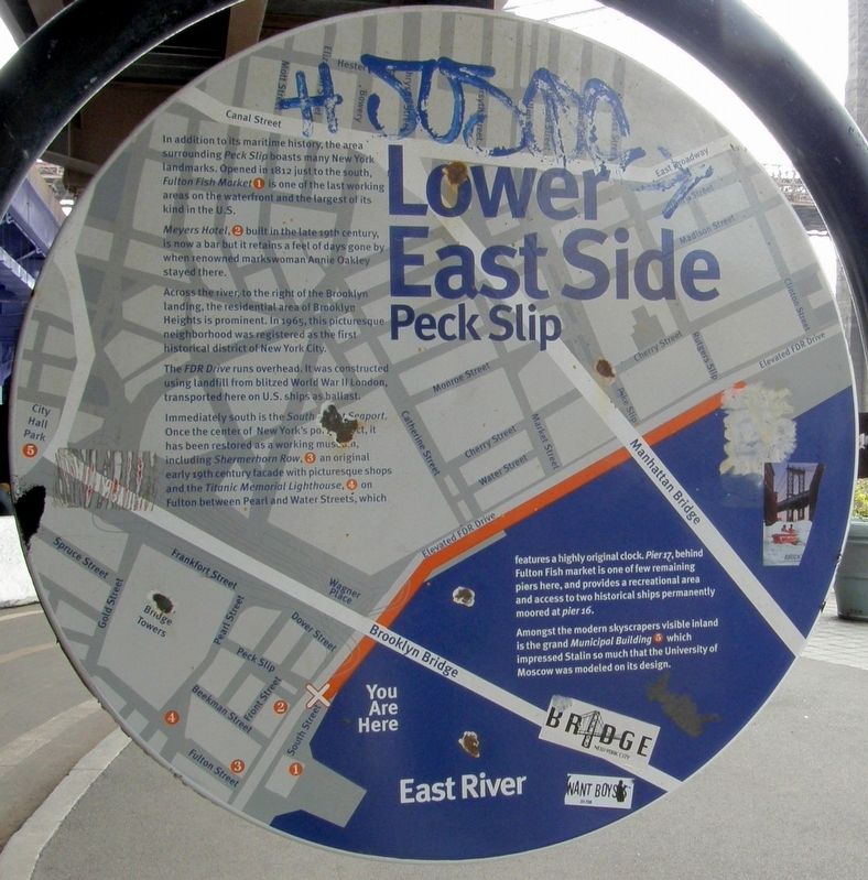
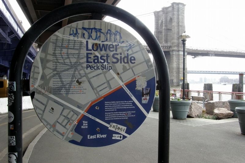
Lower East Side - Peck Slip
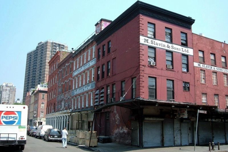
In addition to its maritime history, the area surrounding Peck Slip boasts many New York landmarks. Opened in 1812 just to the south, Fulton Fish Market (1) is one of the last working areas on the waterfront and the largest of its kind in the U.S.
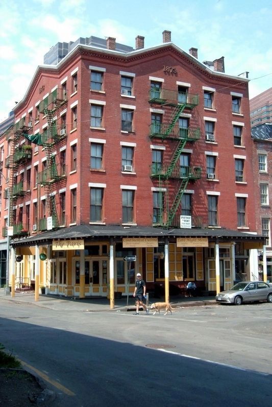
Meyers Hotel, (2) built in the late 19th century, is now a bar but it retains the feel of days gone by when renowned markswoman Annie Oakley stayed there.
Across the river, to the right of the Brooklyn landing, the residential area of Brooklyn Heights is prominent. In 1965, this picturesque neighborhood was registered as the first historic district on New York City.
The FDR Drive runs overhead. It was constructed using landfill from blitzed World War II London, transported here on U.S. ships as ballast.
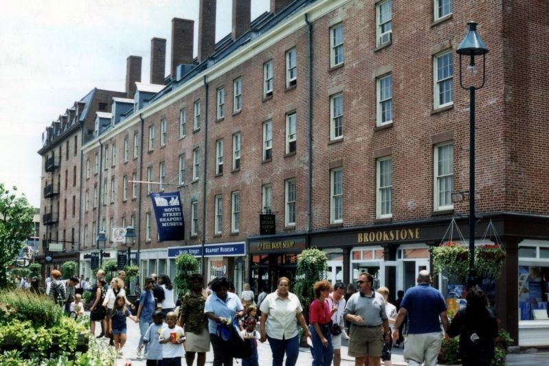
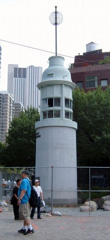
Immediately south is the South Sea Seaport. Once the center of New York’s port district, it has been restored as a working museum, including Schermerhorn Row, (3) an original early 19th century façade with picturesque shops and the Titanic Memorial Lighthouse, (4) on Fulton Street between Pearl and Water Streets, which features a highly original clock. Pier 17, behind Fulton Fish Market is one of the remaining piers here, and provides a recreational area and access to two historical ships permanently moored at pier (sic) 16.
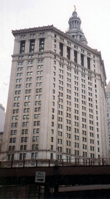
Amongst the modern skyscrapers visible inland is the grand Municipal Building (5) which impressed Stalin so much that the University of Moscow was modeled on its design.
Topics. This historical marker is listed in these topic lists: Architecture • Industry & Commerce • Waterways & Vessels. A significant historical year for this entry is 1812.
Location. 40° 42.431′ N, 74° 0.048′ W. Marker is in Manhattan, New York, in New York County. It is in the Financial District. Marker is on South Street near Peck Slip, on the right when traveling north. This marker is on the reverse side of "Lower East Side – 1767". Touch for map. Marker is at or near this postal address: East River Esplanade/Bikeway, New York NY 10038, United States of America. Touch for directions.
Other nearby markers. At least 8 other markers are within walking distance of this marker. Lower East Side – 1767 (here, next to this marker); Peck Slip (a few steps from this marker); The East River Bikeway and Esplanade (a few steps from this marker); Jerry Driscoll Walk (within shouting distance of this marker); 247 Water Street (about 500 feet away, measured in a direct line); Fulton Fish Waist - 142 Beekman Street (about 600 feet away); Seaman’s Church Institute (about 600 feet away); 206 Front Street (about 600 feet away). Touch for a list and map of all markers in Manhattan.
More about this marker. This marker predates the 2005 closing of the nearby Fulton Fish Market.
Regarding Lower East Side - Peck Slip. Contrary to the marker's assertion, only the 23rd-34th Streets section of the FDR Drive was built on WWII English rubble from Bristol, not London.
Credits. This page was last revised on January 31, 2023. It was originally submitted on May 28, 2019, by Larry Gertner of New York, New York. This page has been viewed 226 times since then and 31 times this year. Last updated on May 29, 2019, by Larry Gertner of New York, New York. Photos: 1, 2. submitted on May 28, 2019, by Larry Gertner of New York, New York. 3. submitted on May 29, 2019, by Larry Gertner of New York, New York. 4, 5, 6, 7. submitted on May 28, 2019, by Larry Gertner of New York, New York. 8. submitted on May 29, 2019, by Larry Gertner of New York, New York. • Andrew Ruppenstein was the editor who published this page.
