The Old Burying Ground
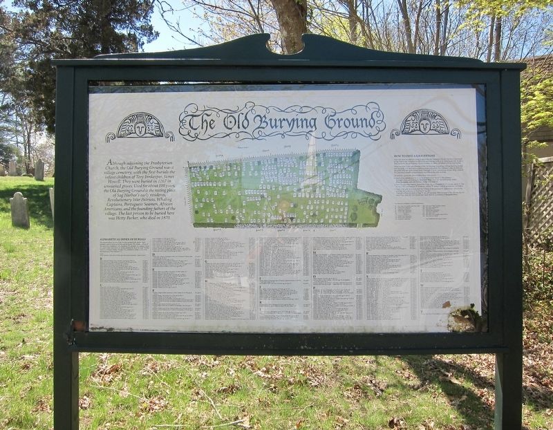
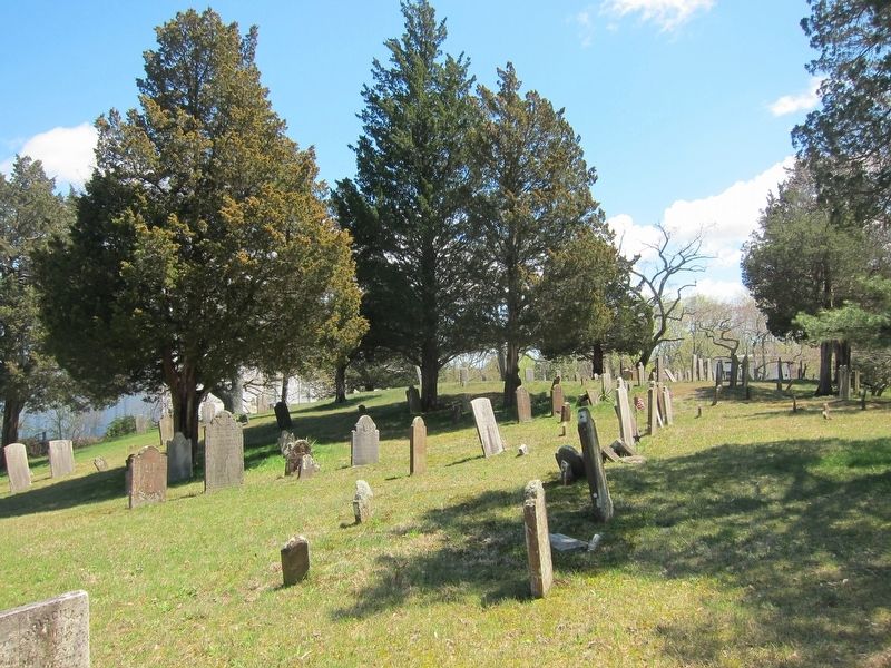
Although adjoining the Presbyterian Church, the Old Burying Ground was a village cemetery, with the first burials the infant children of Tory Innkeeper, James Howell. They were buried in 1767 in unmarked graves. Used for about 100 years, the Old Burying Ground is the resting place of Sag Harbor's early residents, Revolutionary War Patriots, Whaling Captains, Portuguese Seamen, African Americans, and the founding fathers of the village. The last person to be buried here was Hetty Parker, who died in 1870.
(Index of Burials and How-to-find-a-grave not transcribed)
Topics. This historical marker is listed in this topic list: Cemeteries & Burial Sites. A significant historical year for this entry is 1767.
Location. 40° 59.866′ N, 72° 17.663′ W. Marker is in Sag Harbor, New York, in Suffolk County. Marker is at the intersection of Union Street and Church Street, on the left when traveling east on Union Street. Touch for map. Marker is in this post office area: Sag Harbor NY 11963, United States of America. Touch for directions.
Other nearby markers. At least 8 other markers are within walking distance of this marker. Meigs Monument (here, next to this marker); American Revolution Veterans Memorial (here, next to this marker); Old Whalers' Church (within shouting distance of this marker); The French House (about 300 feet away, measured in a direct line); Atheneum
Also see . . .
1. Preserving history at Sag Harbor’s Old Burying Ground. 27East entry (Submitted on June 6, 2019.)
2. The Old Burying Ground. Sag Harbor Chamber of Commerce entry (Submitted on June 6, 2019.)
Credits. This page was last revised on March 19, 2021. It was originally submitted on June 6, 2019, by Andrew Ruppenstein of Lamorinda, California. This page has been viewed 350 times since then and 58 times this year. Photos: 1, 2, 3, 4. submitted on June 6, 2019, by Andrew Ruppenstein of Lamorinda, California.


