Tehachapi in Kern County, California — The American West (Pacific Coastal)
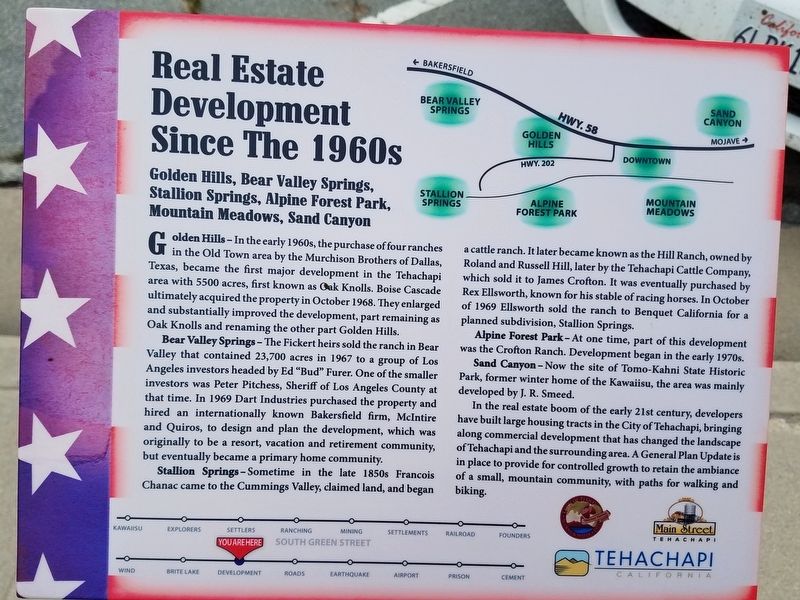
Real Estate Development Since The 1960s
Golden Hills, Bear Valley Springs, Stallion Springs, Alpine Forest Park, Mountain Meadows, Sand Canyon.
Golden Hills – In early 1960s, the purchase of four ranches in the Old Town area by the Murchison Brothers of Dallas, Texas, became the major development in the Tehachapi area with 5500 acres, first known as Oak Knolls. Boise Cascade altimately acquired the property in October 1968. They enlarged and substantially improved the development, part remaining as Oak Knolls and renaming the other part Golden Hills.
Bear Valley Springs – The Fickert heirs sold the ranch in Bear Valley that contained 23,700 acres in 1967 to a group of Los Angeles investors headed by Ed “Bud” Furer. One of the smaller investors was Peter Pitchess, Sheriff of Los Angeles County at the time. In 1969 Dart Industries purchased the property and hired an internationally known Bakersfield firm, McIntire and Quiros, to design and plan the development, which was originally to be a resort, vacation and retirement community, but eventually became a primary home community.
Stallion Springs – Sometime in the late 1850s Francois Chanac came to the Cummings Valley, claimed land, and began a cattle ranch. It later became known as the Hill Ranch, owned Roland and Russell Hill, later by the Tehachapi Cattle Company, which sold it to James Crofton. It was eventually purchased by Rex Ellsworth, known for his stable of racing horses. In October of 1969 Ellsworth sold the ranch to Benquet California for a planned subdivision, Stallion Springs.
Alpine Forest Park – At one time, part of this development was the Crofton Ranch. Development began in the early 1970s.
Sand Canyon – Now the site of Tomo-Kahni State Historic Park, former winter home of the Kawaiisu, the area was mainly developed by J.R. Smeed.
In the real estate boom of the early 21st century, development have built large housing tracts in the City of Tehachapi, bringing along commercial development that has changed the landscape of Tehachapi and the surrounding area. A General Plan Update is in place to provide for controlled growth to retain the ambiance of a small, mountain community, with paths for walking and biking.
Erected by Main Street Tehachapi, Tehachapi Heritage League, City of Tehachapi.
Topics. This historical marker is listed in these topic lists: Roads & Vehicles • Settlements & Settlers. A significant historical month for this entry is October 1968.
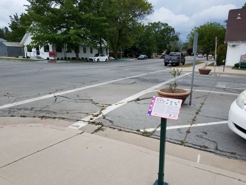
Location. 35° 7.802′ N, 118° 26.869′ W. Marker is in Tehachapi, California, in Kern County. Marker is at the intersection of Green Street and E Street, on the right when traveling north on Green Street. Located next to the Aspen Business Center. Touch for map. Marker is at or near this postal address: 101 East E Street, Tehachapi CA 93561, United States of America. Touch for directions.
Other nearby markers. At least 8 other markers are within walking distance of this marker. Former Post Office (a few steps from this marker); Early Settlers (within shouting distance of this marker); First Roads and Highway 58 (within shouting distance of this marker); Importance of Water and Creation of Brite Lake (within shouting distance of this marker); Early Explorers in the Tehachapi Area (within shouting distance of this marker); Ranching, Farming and Orchards (within shouting distance of this marker); Tehachapi Museum (within shouting distance of this marker); a different marker also named The Tehachapi Museum (within shouting distance of this marker). Touch for a list and map of all markers in Tehachapi.
Credits. This page was last revised on July 3, 2023. It was originally submitted on June 8, 2019, by Denise Boose of Tehachapi, California. This page has been viewed 688 times since then and 185 times this year. Photos: 1, 2. submitted on June 8, 2019, by Denise Boose of Tehachapi, California. • Andrew Ruppenstein was the editor who published this page.

