Mackinaw City in Emmet County, Michigan — The American Midwest (Great Lakes)
Indians at the Straits
Mackinaw City Historical Pathway
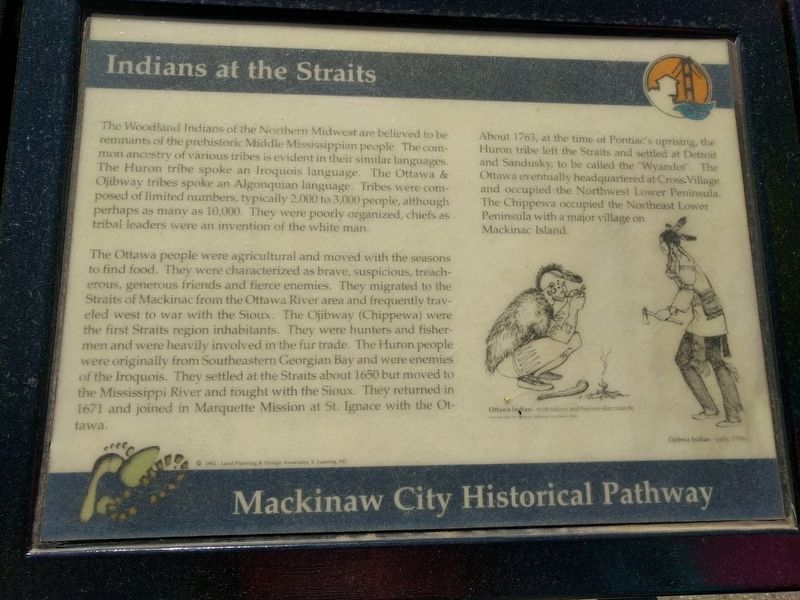
The Woodland Indians of the Northern Midwest are believed to be remnants of the prehistoric Middle Mississippian people. The common ancestry of various tribes is evident in their similar languages. The Huron tribe spoke an Iroquois language. The Ottawa & Ojibway tribes spoke an Algonquian language. Tribes were composed of limited numbers, typically 2,000 to 3,000 people, although perhaps as many as 10,000. They were poorly organized, chiefs as tribal leaders were an invention of the white man.
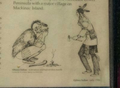
The Ottawa people were agricultural and moved with the seasons to find food. They were characterized as brave, suspicious, treacherous, generous friends and fierce enemies. They migrated to the Straits of Mackinac from the Ottawa River area and frequently traveled west to war with the Sioux. The Ojibway (Chippewa) were the first Straits region inhabitants. They were hunters and fishermen and were heavily involved in the fur trade. The Huron people were originally from Southeastern Georgian Bay and were enemies of the Iroquois. They settled at the Straits about 1650 but moved to the Mississippi River and fought with the Sioux. They returned in 1671 and joined in Marquette Mission at St. Ignace with the Ottawa.
About 1763, at the time of Pontiac's uprising, the Huron tribe left the Straits and settled at Detroit and Sandusky, to be called the "Wyandot". The Ottawa eventually headquartered at Cross Village and occupied the Northwest Lower Peninsula. The Chippewa occupied the Northeast Lower Peninsula with a major village on Mackinac Island. (Marker Number 38.)
Topics. This historical marker is listed in this topic list: Native Americans. A significant historical year for this entry is 1650.
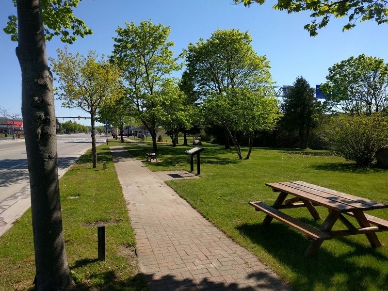
Location. 45° 46.946′ N, 84° 43.946′ W. Marker is in Mackinaw City, Michigan, in Emmet County. Marker is on North Nicolet Street south of East Etherington Street, on the right when traveling south. Marker is in Indian Pathways Park. Touch for map. Marker is in this post office area: Mackinaw City MI 49701, United States of America. Touch for directions.
Other nearby markers. At least 8 other markers are within walking distance of this marker. British Colonial Farm 1774 - 1780 (about 300 feet away, measured in a direct line); Missionaries at Mackinac (about 300 feet away); Hattie Stimpson 1875-1948 (about 500 feet away); French House Ruin, 1765 - 1781 (about 500 feet away); French House Ruin, 1765-1781 (about 600 feet away); Tourism at Mackinac (about 700 feet away); Warrior Stone (approx. 0.2 miles away); The Barnett Building (approx. 0.2 miles away). Touch for a list and map of all markers in Mackinaw City.
Also see . . .
1. Odawa. Wikipedia article (Submitted on June 10, 2019, by Joel Seewald of Madison Heights, Michigan.)
2. Ojibwe.
Wikipedia article (Submitted on June 10, 2019, by Joel Seewald of Madison Heights, Michigan.)
3. Wyandot people. Wikipedia article (Submitted on June 10, 2019, by Joel Seewald of Madison Heights, Michigan.)
Credits. This page was last revised on February 2, 2021. It was originally submitted on June 10, 2019, by Joel Seewald of Madison Heights, Michigan. This page has been viewed 147 times since then and 17 times this year. Photos: 1, 2, 3, 4, 5. submitted on June 10, 2019, by Joel Seewald of Madison Heights, Michigan.


