Donegall Quay
Cathedral Quarter
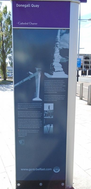
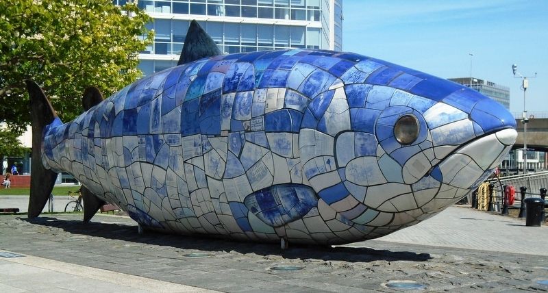
You are at the Lagan Lookout and the Lagan Weir. There are fascinating places to visit in all directions from here. Head past Bigfish towards Corporation Square in the heart of Belfast's Sailortown district. There are two particularly noteworthy buildings: the Belfast Harbour Office (1854) and Sinclair Seamen's Presbyterian Church (1857). For those with an interest in wine, check out Direct Wine Shipments. Also look out for unusual artwork on the legs of the cross-harbour bridges.
Clarendon Dock lies a short walk beyond Corporation Square. There you will find the two original dry docks from 1796 that gave rise to Belfast's shipbuilding industry. Nearby is Dividers, a dramatic 8.3m high sculpture in bronze and steel.
From this point you can look across the river towards the Harland and Wolff shipyard with its two giant cranes, Samson and Goliath. Beyond this is Belfast City Airport. The footbridge above the Lagan Weir leads over to the popular Odyssey entertainment complex.
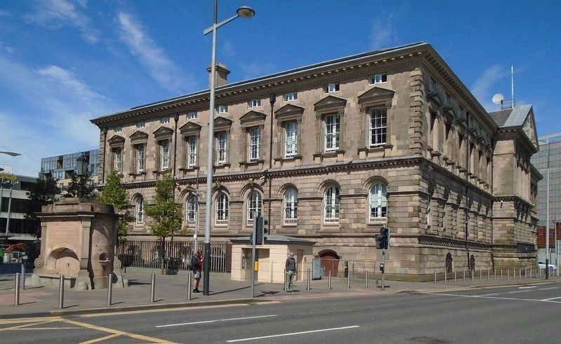
Across the road from the Lookout are the Custom House (1857) and the Albert Memorial Clock (1869). Cross over and enjoy the open space and water features of Custom House Square. St. George's Church (1816) on High Street is an architectural delight and provides a welcome portal to the city centre.
As an alternative, keep the River Lagan to your left
and continue past the Lagan Lookout to the dramatic 19.5 metre high sculpture, Harmony of Belfast. The Laganside Bus Station will be on your right. Continue on to Lanyon Place and make sure to view the stunning artwork, Dreams by renowned local artist Rita Duffy. Stop to admire the impressive new Laganside Courts then move on to explore the Waterfront Hall (1997) and St. George's Market (1896).
[Illustration captions, from top to bottom, read]
• Queen's Bridge
• Harland and Wolff
• Clarinden [sic] Dock
Erected by the City of Belfast.
Topics. This historical marker is listed in these topic lists: Architecture • Arts, Letters, Music • Man-Made Features. A significant historical year for this entry is 1796.
Location. 54° 36.076′ N, 5° 55.323′ W. Marker is in Belfast, Northern Ireland. Marker is at the intersection of Donegall Quay (Northern Ireland Route A2) and Queen's Square, on the right when traveling south on Donegall Quay. Touch for map. Marker is in this post office area: Belfast, Northern Ireland BT1 3AS, United Kingdom. Touch for directions.
Other nearby markers. At least 8 other markers are within walking distance of this marker. Calder Fountain (within shouting distance of this marker); The Quays (within shouting distance of this marker); Custom House Square (within shouting distance of this marker); Anthony Trollope (within
Regarding Donegall Quay. Marker has limited historical information, primarily notable building construction dates.
Credits. This page was last revised on June 13, 2019. It was originally submitted on June 13, 2019, by William Fischer, Jr. of Scranton, Pennsylvania. This page has been viewed 165 times since then and 12 times this year. Photos: 1, 2. submitted on June 13, 2019, by William Fischer, Jr. of Scranton, Pennsylvania. 3. submitted on June 12, 2019, by William Fischer, Jr. of Scranton, Pennsylvania. 4. submitted on June 13, 2019, by William Fischer, Jr. of Scranton, Pennsylvania. 5. submitted on June 11, 2019, by William Fischer, Jr. of Scranton, Pennsylvania.


