Southernside in Greenville in Greenville County, South Carolina — The American South (South Atlantic)
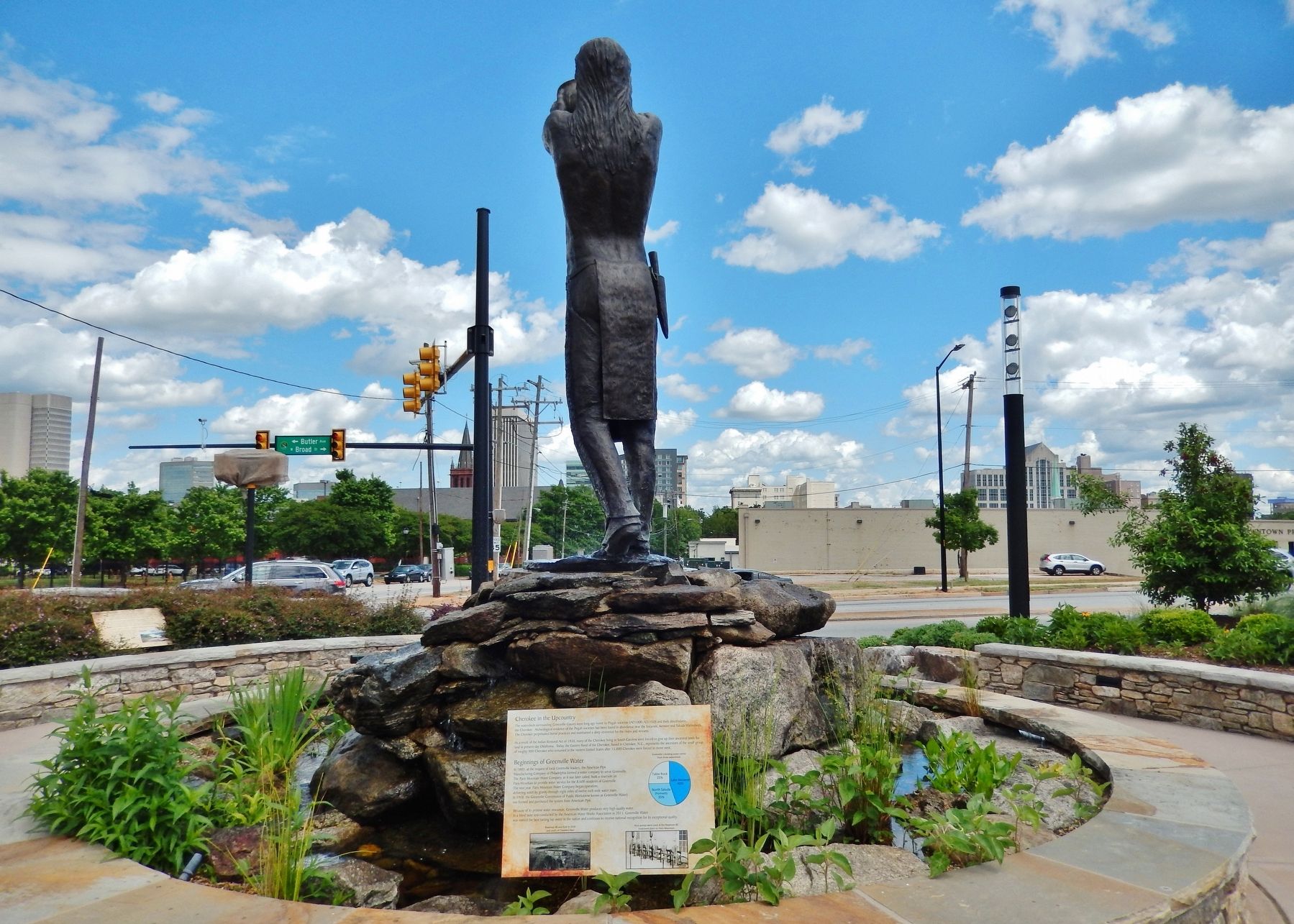
Cherokee in the Upcountry / Beginnings of Greenville Water
Inscription.
Cherokee in the Upcountry
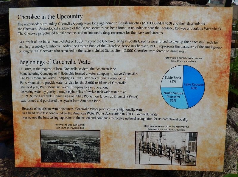
The watersheds surrounding Greenville County were long ago home to Pisgah societies (AD 1000-AD 1450) and their descendants, the Cherokee. Archeological evidence of the Pisgah societies has been found in abundance near the Jocassee, Keowee and Saluda Watersheds. The Cherokee perpetuated burial practices and maintained a deep reverence for the rivers and streams.
As a result of the Indian Removal Act of 1830, many of the Cherokee living in South Carolina were forced to give up their ancestral lands for land in present-day Oklahoma. Today, the Eastern Band of the Cherokee, based in Cherokee, N.C., represents the ancestors of the small group of roughly 800 Cherokee who remained in the eastern United States after 15,000 Cherokee were forced to move west.
Beginnings of Greenville Water
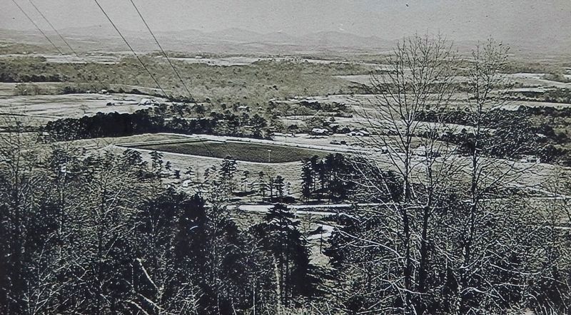
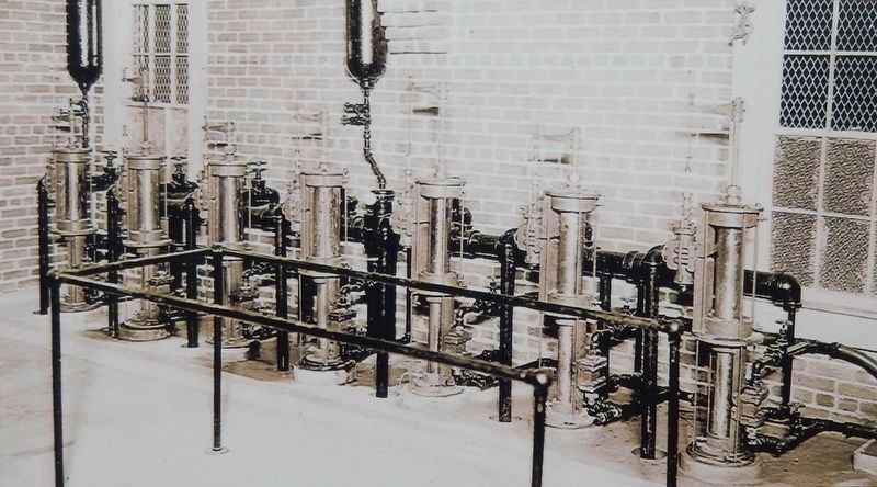
In 1889, at the request of local Greenville leaders, the American Pipe Manufacturing Company of Philadelphia formed a water company to serve Greenville. The Paris Mountain Water Company, as it was later called, built a reservoir on Paris Mountain to provide water service for the 8,600 residents of Greenville. The next year, Paris Mountain Water Company began operation, delivering water by gravity through eight miles of twelve-inch wide water main. In 1918, the Greenville Commission of Public Works (now known as Greenville Water) was formed and purchased the system from American Pipe.
Because of its pristine water resources, Greenville Water produces very high quality water. In a blind taste test conducted by the American Water Works Association in 2011, Greenville Water was named the best tasting tap water in the nation and continues to receive national recognition for its exceptional quality.
Topics. This historical marker is listed in these topic lists: Industry & Commerce • Native Americans • Natural Resources.
Location. 34° 51.163′ N, 82° 24.324′ W. Marker is in Greenville, South Carolina, in Greenville County. It is in Southernside. Marker is at the intersection of West Broad Street and West Washington Street, on the right when traveling south on West Broad Street. Marker is located in an interpretive plaza at the southwest corner of the intersection. Touch for map. Marker is at or near this postal address: 407 West Broad Street, Greenville SC 29601, United States of America. Touch for directions.
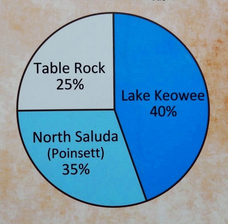
Other nearby markers. At least 8 other markers are within walking distance of this marker. Saluda (Poinsett) Watershed (here, next to this marker); Reverence for Water: Feeding the Body, Feeling the Spirit (here, next to this marker); Table Rock Watershed (here, next to this marker); Lake Keowee Watershed (a few steps from this marker);
Prospect Hill Park (about 400 feet away, measured in a direct line); St Mary's Catholic Church (about 600 feet away); Textile Hall (about 700 feet away); Historic Plants Garden (approx. ¼ mile away). Touch for a list and map of all markers in Greenville.
Related markers. Click here for a list of markers that are related to this marker. Greenville Water History
Also see . . . The History of Greenville Water. Greenville Water website entry (Submitted on February 23, 2023, by Larry Gertner of New York, New York.)
Credits. This page was last revised on February 23, 2023. It was originally submitted on June 14, 2019, by Cosmos Mariner of Cape Canaveral, Florida. This page has been viewed 384 times since then and 28 times this year. Photos: 1, 2, 3, 4, 5. submitted on June 17, 2019, by Cosmos Mariner of Cape Canaveral, Florida.
