The Battle of Mill Springs
Mill Springs Battlefield
The Confederates Take the Offensive
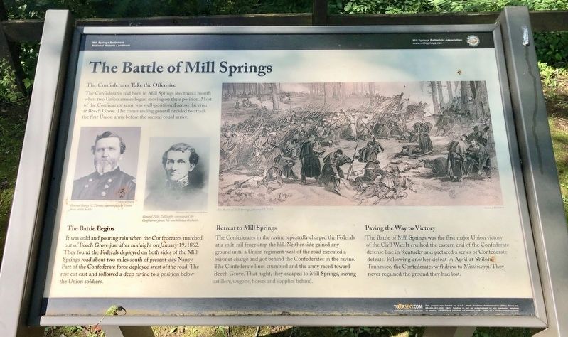
The Confederates had been in Mill Springs less than a month when two Union armies began moving on their position. Most of the Confederate army was well-positioned across the river at Beech Grove. The commanding general decided to attack the first Union army before the second could arrive.
The Battle Begins
It was cold and pouring rain when the Confederates marched out of Beech Grove just after midnight on January 19, 1862. They found the Federals deployed on both sides of the Mill Springs road about two miles south of present-day Nancy. Part of the Confederate force deployed west of the road. The rest cut east and followed a deep ravine to a position below the Union soldiers.
Retreat to Mill Springs
The Confederates in the ravine repeatedly charged the Federals at a split-rail fence atop the hill. Neither side gained any ground until a Union regiment west of the road executed a bayonet charge and got behind the Confederates in the ravine. The Confederate lines crumbled and the army raced toward Beech Grove. That night, they escaped to Mill Springs, leaving artillery, wagons, horses and supplies behind.
Paving the Way to Victory
The Battle of Mill Springs was the first major Union victory of the Civil War. It crushed the eastern
Photo captions: Left portraits: General George H. Thomas commanded the Union forces at the battle. General Felix Zolllicoffer commanded the Confederate forces. He was killed at the battle. Right battle drawing: The Battle of Mill Springs, January 19, 1862.
Erected 2014 by Mill Springs Battlefield Association.
Topics and series. This historical marker is listed in these topic lists: Landmarks • War, US Civil. In addition, it is included in the National Historic Landmarks series list. A significant historical date for this entry is January 19, 1862.
Location. 36° 55.991′ N, 84° 46.749′ W. Marker is in Mill Springs, Kentucky, in Wayne County. Marker is at the intersection of Kentucky Route 1275 and Old Mill Springs Road, on the right when traveling west on State Route 1275. Touch for map. Marker is at or near this postal address: 9155 KY-1275, Monticello KY 42633, United States of America. Touch for directions.
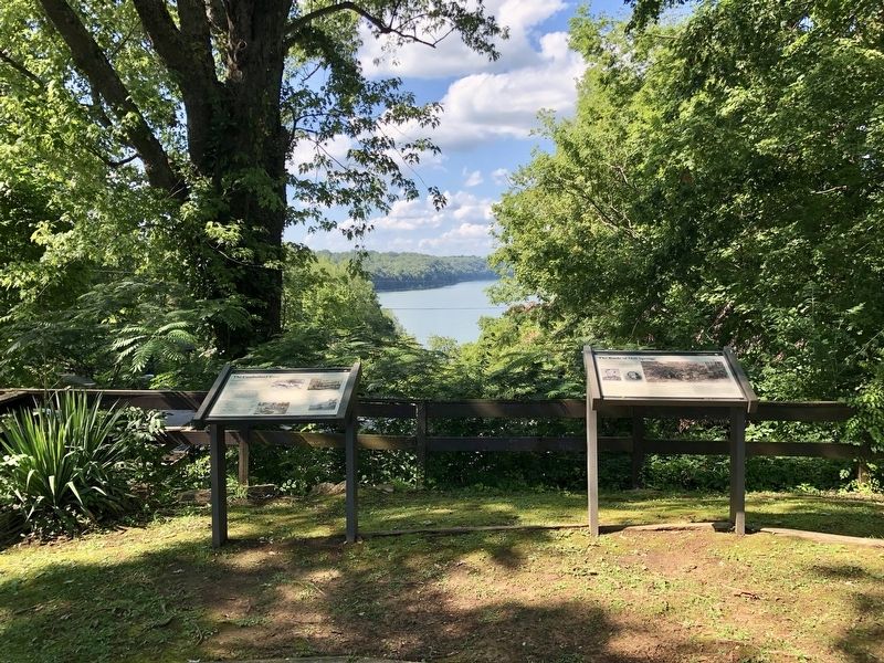
Other nearby markers. At least 8 other markers are within 2 miles of this marker, measured as the crow flies. The Cumberland River (here, next to this marker); Mill Springs and the Civil War (a few steps from this marker); Home, Headquarters, Hospital
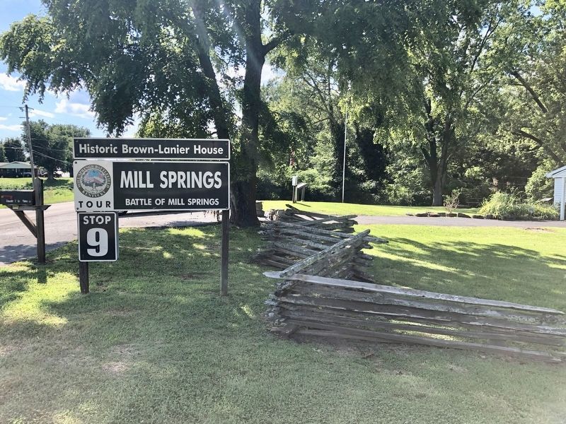
More about this marker. Warning: this Tour Stop is some 23 miles from the Mill Springs Battlefield Visitors Center near Nancy, KY, which is the beginning location for eight of the Tour Stops. It is some 33 miles from Tour Stop #8, which is right across the Cumberland River on the north side from here.
Regarding The Battle of Mill Springs. Mill Springs Battlefield was declared a U.S. National Historic Landmark in 1993 and a National Monument in 2019.
Also see . . . Battle of Mill Springs. Wikipedia entry (Submitted on July 23, 2019, by Mark Hilton of Montgomery, Alabama.)
Credits. This page was last revised on October 29, 2022. It was originally submitted on July 23, 2019, by Mark Hilton of Montgomery, Alabama. This page has been viewed 355 times since then and 31 times this year. Last updated on September 14, 2020, by Bradley Owen of Morgantown, West Virginia. Photos: 1, 2, 3. submitted on July 23, 2019, by Mark Hilton of Montgomery, Alabama. • Devry Becker Jones was the editor who published this page.


