Hamburg in Berks County, Pennsylvania — The American Northeast (Mid-Atlantic)
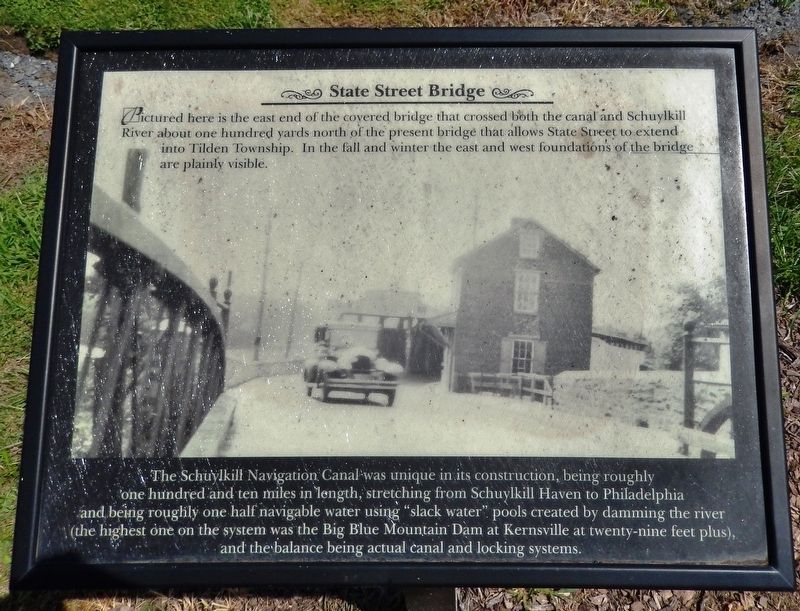
State Street Bridge
The Schuylkill Navigation Canal was unique in its construction, being roughly one hundred and ten miles in length, stretching from Schuylkill Haven to Philadelphia and being roughly one half navigable water using “slack water” pools created by damming the river (the highest one on the system was the Big Blue Mountain Dam at Kernsville at twenty-nine feet plus), and the balance being actual canal and locking systems.
Topics and series. This historical marker is listed in these topic lists: Bridges & Viaducts • Waterways & Vessels. In addition, it is included in the Covered Bridges series list.
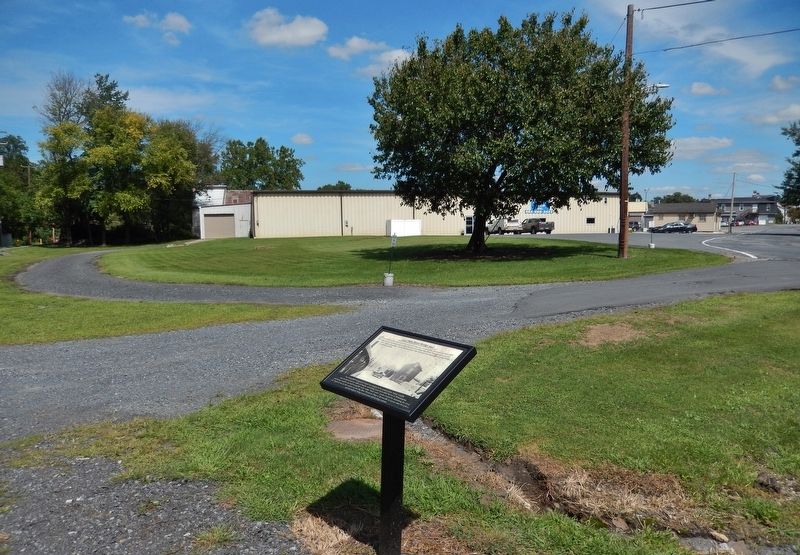
Location. 40° 33.273′ N, 75° 59.317′ W. Marker is in Hamburg, Pennsylvania, in Berks County. Marker can be reached from Front Street north of State Street (Old U.S. Highway 22), on the left when traveling north. Marker is located along the Schuylkill River Trail, near the northeast corner of the Hamburg State Street Trailhead parking lot. Touch for map. Marker is in this post office area: Hamburg PA 19526, United States of America. Touch for directions.
Other nearby markers. At least 8 other markers are within 6 miles of this marker, measured as the crow flies. Historic Hamburg (within shouting distance of this marker); Geiger's Mill (within shouting distance of this marker); Richard L. Etchberger (about 500 feet away, measured in a direct line); 4th & Pine circa 1800's (approx. 0.4 miles away); Martin Kaercher Jr. (approx. half a mile away); War Memorial (approx. half a mile away); Hawk Mountain Sanctuary (approx. 5˝ miles away); a different marker also named Hawk Mountain Sanctuary (approx. 5.6 miles away). Touch for a list and map of all markers in Hamburg.
Also see . . .
1. State Street Bridge In Berks Co. Reopens. (from Oct 29, 2010)
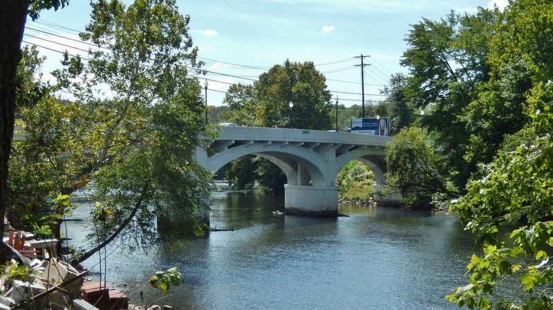
The bridge will officially be named the "Senator Jim Rhoades Memorial Bridge" in honor of the late Pennsylvania State Senator, who helped secure funding for the upgrades. According to PennDOT, the new and improved bridge comes with a new stop light, reinforced supports, new lighting and sidewalks. The final price tag came in just under $6 million. (Submitted on August 29, 2019, by Cosmos Mariner of Cape Canaveral, Florida.)
2. History of the Schuylkill Navigation System. The "canal" or navigation system was constructed between Port Carbon and Philadelphia and covered a distance of 108 miles. Harry L. Rinker in his book, The Schuylkill Navigation: a Photographic History, points out that this "canal" was more properly a "navigation system" because it consisted of 18 dams, 23 canals which covered 57.73 miles, 120 locks, 17 stone aqueducts, one 450 foot long tunnel, 50.50 miles of slack water pools, 23 canals covering 57.73 miles, and 31 houses for toll and lock keepers when it was completed in May 1825. (Submitted on August 29, 2019, by Cosmos Mariner of Cape Canaveral, Florida.)
Credits. This page was last revised on August 29, 2019. It was originally submitted on August 29, 2019, by Cosmos Mariner of Cape Canaveral, Florida. This page has been viewed 285 times since then and 19 times this year. Photos: 1, 2, 3. submitted on August 29, 2019, by Cosmos Mariner of Cape Canaveral, Florida.


