St. Mary's City in St. Mary's County, Maryland — The American Northeast (Mid-Atlantic)
Framing the Past
Discovering
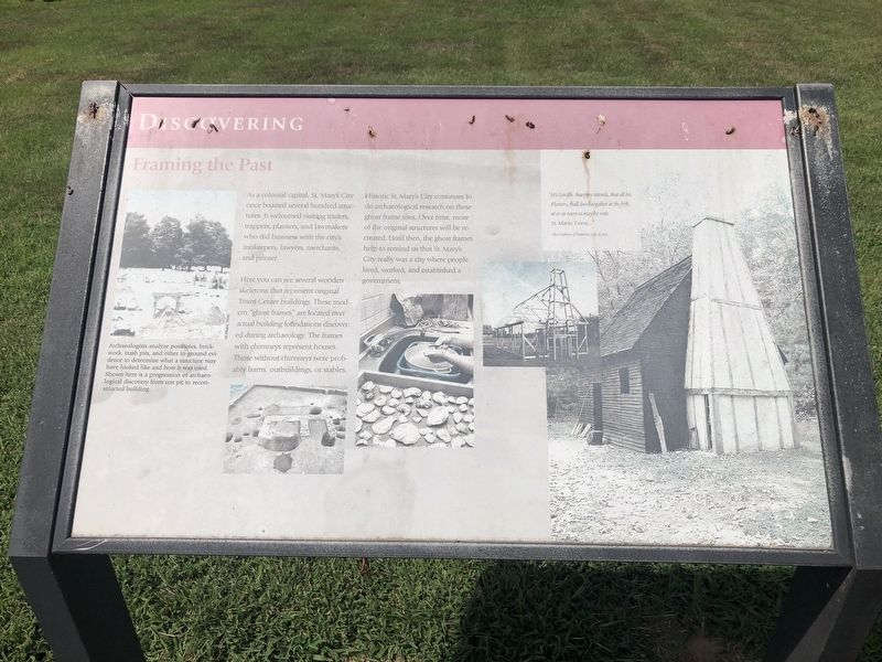
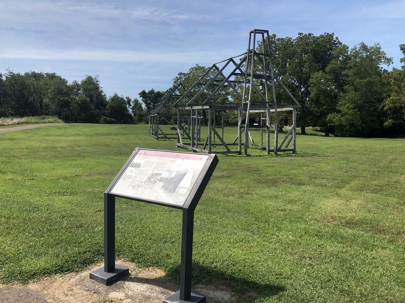
Here you can see several wooden skeletons that represent original Town Center buildings. These modern "ghost frames" are located over actual building foundations discovered during archaeology. The frames with chimneys represent houses. Those without chimneys were probably barns, outbuildings, or stables.
Historic St. Mary's City continues to do archaeological research on these ghost frame sites. Over time, more of the original structures will be recreated. Until then, the ghost frames help to remind us that St. Mary's City really was a city where people lived, worked, and established a government.
[Captions:]
Archaeologists analyze postholes, brickwork, trash pits, and other in-ground evidence to determine what a structure may have looked like and how it was used. Shown here is a progression of archaeological discovery from test pit to reconstructed building.
"His Lordfh, therefore intends, that all his Planters, fhall dwell together at the first, at or as neere as may be vnto St. Maries Towne..."
The Conditions of Plantation, July 15, 1634
Erected by Historic St. Mary's City.
Topics. This historical marker is listed in these topic lists: Colonial Era • Settlements & Settlers. A significant historical date for this entry is July 15, 1634.
Location. 38° 11.015′ N, 76° 25.922′ W. Marker is in St. Mary's City, Maryland, in St. Mary's County. Marker can be reached from Middle Street Path east of Aldermanbury Street Footpath, on the left when traveling south. Touch for map. Marker is in this post office area: Saint Marys City MD 20686, United States of America. Touch for directions.
Other nearby markers. At least 8 other markers are within walking distance of this marker. "…once the Metropolis" (within shouting distance of this marker); Horse High, Pig Tight, and Bull Strong (within shouting distance of this marker); Early Signs of Industry (within shouting distance of this marker); From Slavery to Freedom (about 300 feet away, measured in a direct line); "Dwell here, live plentifully, and be rich" (about 300 feet away); A Time of Troubles (about 400 feet away); Fear of War, People of Peace (about 400 feet away); Witness to History (about 400 feet away). Touch for a list and map of all markers in St. Mary's City.
Credits. This page was last revised on September 2, 2019. It was originally submitted on September 2, 2019, by Devry Becker Jones of Washington, District of Columbia. This page has been viewed 197 times since then and 27 times this year. Photos: 1, 2. submitted on September 2, 2019, by Devry Becker Jones of Washington, District of Columbia.

