Rockville in Montgomery County, Maryland — The American Northeast (Mid-Atlantic)
Rockville Business District
Location: Montgomery Avenue and Washington Street
— Explore Early Rockville Walking Tour —
Inscription.
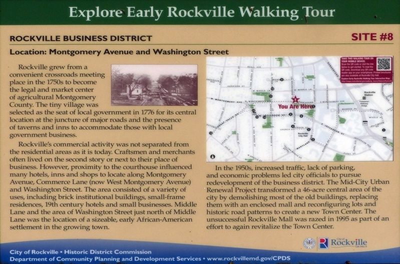
Rockville grew from a convenient crossroads meeting place in the 1750s to become the legal and market center of agricultural Montgomery County. The tiny village was selected as the seat of local government in 1776 for its central location at the juncture of major roads and the presence of taverns and inns to accommodate those with local government business.
Rockville's commercial activity was not separated from the residential areas as it is today. Craftsmen and merchants often lived on the second story or next to their place of business. However, proximity to the courthouse influenced many hotels, inns and shops to locate along Montgomery Avenue, Commerce Lane (now West Montgomery Avenue) and Washington Street. The area consisted of a variety of uses, including brick institutional buildings, small-frame residences, 19th century hotels and small businesses. Middle Lane and the area of Washington Street just north of Middle Lane was the location of a sizeable, early African-American settlement in the growing town.
In the 1950s, increased traffic, lack of parking, and economic problems led city officials to pursue redevelopment of the business district. The Mid-City Urban Renewal Project transformed a 46-acre central area of the city by demolishing most of the old buildings, replacing them with an enclosed mall and reconfiguring lots and historic road patterns to create a new Town Center. The unsuccessful Rockville Mall was razed in 1995 as part of an effort to again revitalize the Town Center.
Erected by City of Rockville, Historic District Commission, Department of Community Planning and Development Services. (Marker Number 8.)
Topics. This historical marker is listed in these topic lists: Industry & Commerce • Settlements & Settlers. A significant historical year for this entry is 1776.
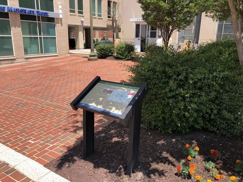
Location. 39° 5.061′ N, 77° 9.167′ W. Marker is in Rockville, Maryland, in Montgomery County. Marker is at the intersection of North Washington Street and Montgomery Avenue, on the right when traveling north on North Washington Street. Touch for map. Marker is at or near this postal address: 11 N Washington St, Rockville MD 20850, United States of America. Touch for directions.
Other nearby markers. At least 8 other markers are within walking distance of this marker. Hungerford Tavern (about 300 feet away, measured in a direct line); Father Divine Birthplace (about 300 feet away); Hungerford Tavern Site (about 300 feet away); Gibbs v. Broome, et al. / 1931 Courthouse (about 300 feet away); Red Brick Courthouse (about 400 feet away); Rockville Town Square (about 400 feet away); a different marker also named Hungerford Tavern
Credits. This page was last revised on June 6, 2021. It was originally submitted on September 3, 2019, by Allen C. Browne of Silver Spring, Maryland. This page has been viewed 137 times since then and 16 times this year. Photos: 1. submitted on September 3, 2019, by Allen C. Browne of Silver Spring, Maryland. 2. submitted on June 6, 2021, by Devry Becker Jones of Washington, District of Columbia. • Bill Pfingsten was the editor who published this page.

