Coventry in Tolland County, Connecticut — The American Northeast (New England)
Strong Homestead
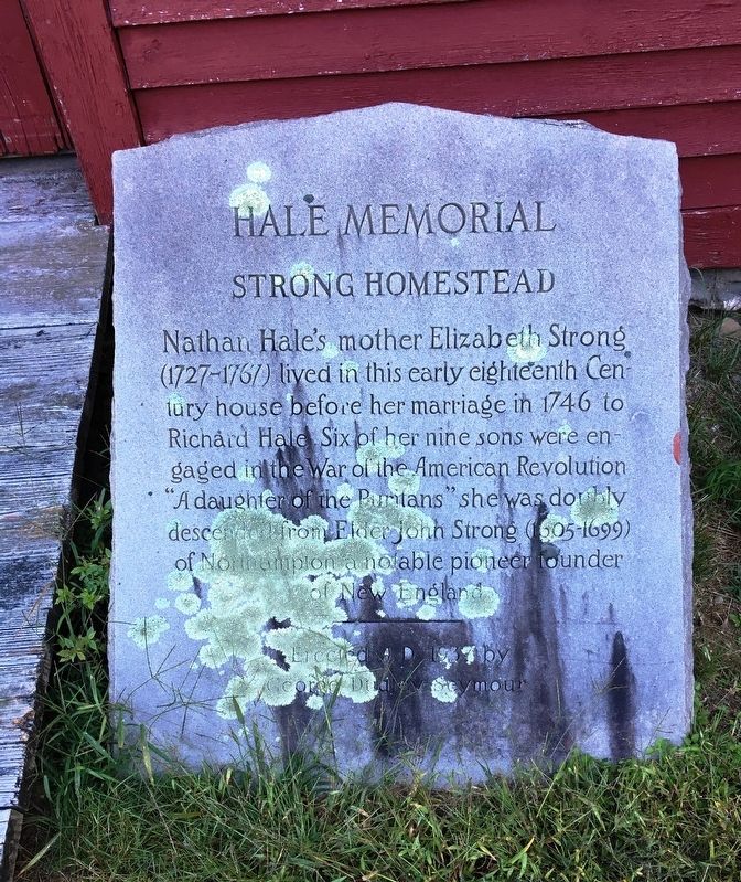
Nathan Hale Memorial
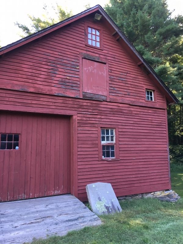
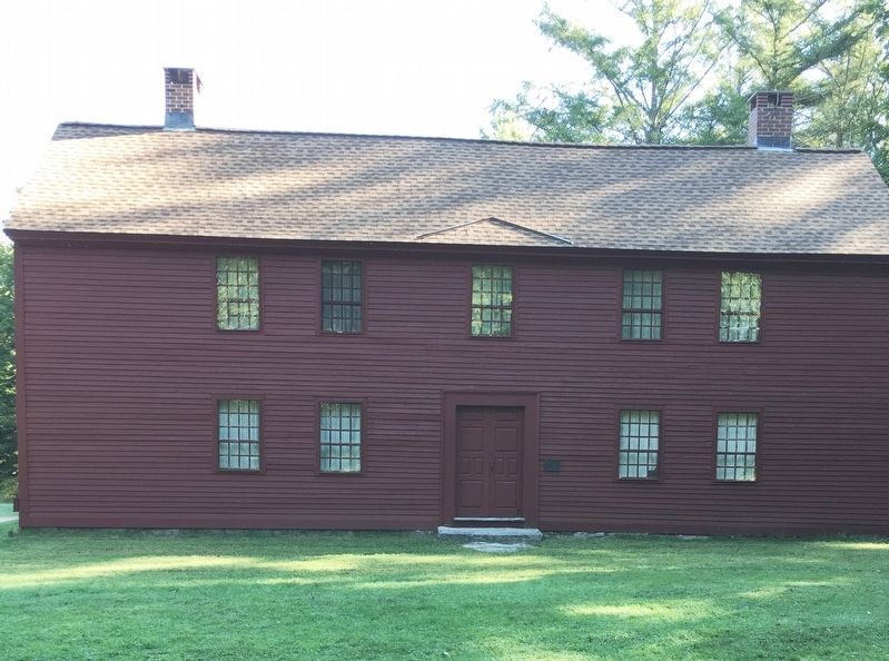
Strong Homestead
by George Dudley Seymour
Erected 1937 by George Dudley Seymour.
Topics. This historical marker is listed in these topic lists: Colonial Era • Settlements & Settlers.
Location. 41° 45.992′ N, 72° 20.876′ W. Marker is in Coventry, Connecticut, in Tolland County. Marker can be reached from South St., 0.3 miles west of Seagraves Rd, on the right when traveling west. Located at the Strong-Porter House Museum. Touch for map. Marker is at or near this postal address: 2382 South St, Coventry CT 06238, United States of America. Touch for directions.
Other nearby markers. At least 8 other markers are within 3 miles of this marker, measured as the crow flies. The Strong-Porter Homestead (within shouting distance of this marker); Holy Grove (about 600 feet away, measured in a direct line); Birthplace of Nathan Hale (approx. 0.2 miles away); Coventry (approx. 2.1 miles away); Nathan Hale Cemetery (approx. 2.1 miles away); Connecticut Vietnam Veterans Memorial (approx. 2.1 miles away); The Connecticut Veterans Memorial (approx. 2.1 miles away); Patriot’s Park (approx. 2.1 miles away). Touch for a list and map of all markers in Coventry.
Credits. This page was last revised on April 2, 2023. It was originally submitted on October 13, 2019, by Brandon D Cross of Flagler Beach, Florida. This page has been viewed 199 times since then and 26 times this year. Photos: 1, 2, 3, 4. submitted on October 13, 2019, by Brandon D Cross of Flagler Beach, Florida. • Michael Herrick was the editor who published this page.


