Colonial Heights, Virginia — The American South (Mid-Atlantic)
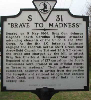
"Brave to Madness"
Erected 1998 by Department of Historic Resources. (Marker Number S-31.)
Topics and series. This historical marker is listed in this topic list: War, US Civil. In addition, it is included in the Virginia Department of Historic Resources (DHR) series list. A significant historical date for this entry is May 9, 1864.
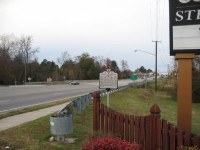
Location. 37° 16.952′ N, 77° 24.737′ W. Marker is in Colonial Heights, Virginia. Marker is on Jefferson Davis Highway (U.S. 1 / 301), on the right when traveling north. Located on the south end of the bridge over Swift Creek. Touch for map. Marker is in this post office area: Colonial Heights VA 23834, United States of America. Touch for directions.
Other nearby markers. At least 8 other markers are within one mile of this marker, measured as the crow flies. Battle of Swift Creek (about 400 feet away, measured in a direct line); Electric Railway (approx. ¼ mile away); Union Army Checked (approx. ¼ mile away); Swift Creek Battlefield: A Landscape of Change (approx. 0.3 miles away); Ellerslie (approx. one mile away); a different marker also named Ellerslie (approx. one mile away); Redwater Creek Engagement (approx. one mile away); Union Army Railroad Raids (approx. one mile away). Touch for a list and map of all markers in Colonial Heights.
Also see . . . Swift Creek Mill. (PDF) National Register documentation for the Swift Creek Mill. (Submitted on December 23, 2008, by Craig Swain of Leesburg, Virginia.)

Photographed By Craig Swain, November 22, 2008
3. Advance and Retreat of Hagood's South Carolinians
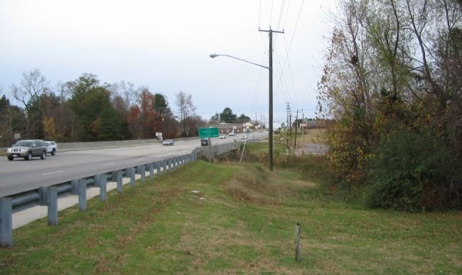
Looking north from the marker location over the modern bridge. Hagood had initially sent the 11th South Carolina as a forward screen on the high ground north of the creek. Receiving the order to further probe the Federal lines, Hagood dispatched two additional regiments. The Federals at that time occupied ground near the Arrowhead Church, which stood beside the road near the top of the ridge line in the distance. The South Carolina regiments advanced up the slope, were repulsed, and retired back across Swift Creek.

Photographed By Craig Swain, November 22, 2008
4. Swift Creek Mill Dam
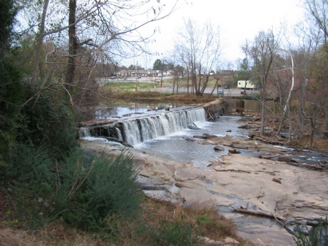
The mill, dam, and millpond have stood since the mid-19th century, but a mill was at the site as far back as the 1660s. This view looks north from near the marker location. The mill was square in the middle of the battlefield on May 9, 1864.
Credits. This page was last revised on June 16, 2016. It was originally submitted on December 23, 2008, by Craig Swain of Leesburg, Virginia. This page has been viewed 2,137 times since then and 65 times this year. Photos: 1, 2, 3, 4. submitted on December 23, 2008, by Craig Swain of Leesburg, Virginia.

