Colonial Heights, Virginia — The American South (Mid-Atlantic)
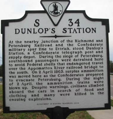
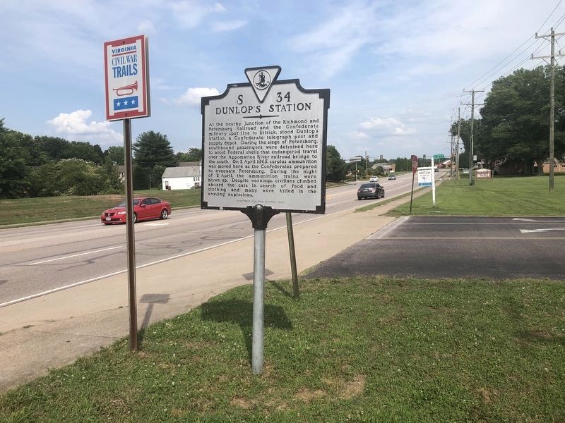
Dunlop's Station
Erected 2000 by Department of Historic Resources. (Marker Number S-34.)
Topics and series. This historical marker is listed in these topic lists: Railroads & Streetcars • War, US Civil. In addition, it is included in the Virginia Department of Historic Resources (DHR) series list. A significant historical date for this entry is April 2, 1865.
Location. 37° 16.105′ N, 77° 24.318′ W. Marker is in Colonial Heights, Virginia. Marker is at the intersection of East Ellerslie Drive and Old Town Drive, on the right when traveling east on East Ellerslie Drive. Touch for map. Marker is in this post office area: Colonial Heights VA 23834, United States of America. Touch for directions.
Other nearby markers. At least 8 other markers are within 2 miles of this marker, measured as the crow flies. Dunlop Station (a few steps from this marker); Ellerslie (approx. 0.2 miles away); a different marker also named Ellerslie (approx. 0.2 miles away); Electric Railway (approx. 0.8 miles away); "Brave to Madness" (approx. one mile away); Battle of Swift Creek (approx. 1.1 miles away); Union Army Checked (approx. 1.3 miles away); Swift Creek Battlefield: A Landscape of Change (approx. 1.3 miles away). Touch for a list and map of all markers in Colonial Heights.
Credits. This page was last revised on July 6, 2021. It was originally submitted on December 24, 2008, by Craig Swain of Leesburg, Virginia. This page has been viewed 1,708 times since then and 48 times this year. Photos: 1. submitted on December 24, 2008, by Craig Swain of Leesburg, Virginia. 2. submitted on June 23, 2021, by Devry Becker Jones of Washington, District of Columbia.

