Cumberland Township near Gettysburg in Adams County, Pennsylvania — The American Northeast (Mid-Atlantic)
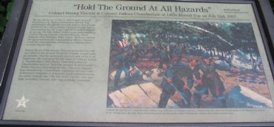
"Hold The Ground At All Hazards"
Colonel Strong Vincent & Colonel Joshua Chamberlain at Little Round Top on July 2nd, 1863.
— July 2, 1863 - The Second Day —
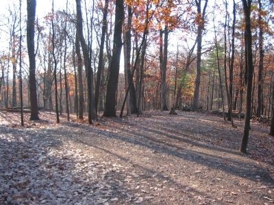
Riding ahead of his troops, Vincent ascended this hill and selected the ground where his brigade would make its defense. Vincent personally placed each of his four regiments. He entrusted his left flank to Colonel Joshua L. Chamberlain's 20th Maine. Vincent's orders to Chamberlain were to "hold the ground at all hazards." Within minutes of forming his line, Vincent's brigade was assaulted by Confederate regiments of Law's and Robertson's brigades. A desperate battle ensued across the entire brigade line. The line held, but the cost was high, including Vincent, who was mortally wounded.
Erected by Gettysburg National Military Park.
Topics. This historical marker is listed in this topic list: War, US Civil. A significant historical date for this entry is July 2, 1897.
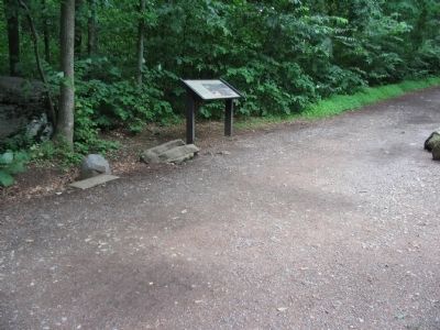
Location. 39° 47.443′ N, 77° 14.187′ W. Marker is near Gettysburg, Pennsylvania, in Adams County. It is in Cumberland Township. Marker is on Sykes Avenue, on the right when traveling north. Located at the start of trail extending from the Little Round Top pull off to the 20th Maine monument in Gettysburg National Military Park. Touch for map. Marker is in this post office area: Gettysburg PA 17325, United States of America. Touch for directions.
Other nearby markers. At least 8 other markers are within walking distance of this marker. Third Brigade (a few steps from this marker); The Tenacious 20th Maine (a few steps from this marker); Gen. Strong Vincent (within shouting distance of this marker); 83rd Pennsylvania Infantry (within shouting distance of this marker); Historic Breastworks (within shouting distance of this marker); 12th and 44th New York Infantry (within shouting distance of this marker); Col. Strong Vincent (within shouting distance of this marker); 140th New York Infantry (about 300 feet away, measured in a direct line).
More about this marker. The marker features a painting depicting Vincent and Chamberlain on Little Round Top. Colonel Strong Vincent, using his wife's riding crop, indicates to Colonel Joshua L. Chamberlain the area that Chamberlain's 20th Maine is to defend. In the foreground, the 20th Maine is moving at the double-quick, while Confederate artillery fire bursts around them.

Photographed By Craig Swain, November 11, 2008
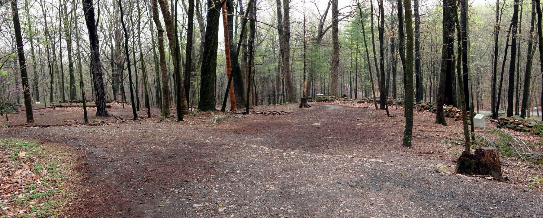
3. Center of the 20th Maine Position
Colonel Vincent posted the 20th Maine on the southeast spur off Little Round Top. As the 15th Alabama attempted to sweep around Chamberlain's line, the 20th Maine extended and refused the line. The final position of the regiment in this defense resembled a "V" more than a line.
Credits. This page was last revised on February 7, 2023. It was originally submitted on January 2, 2009, by Craig Swain of Leesburg, Virginia. This page has been viewed 4,046 times since then and 89 times this year. Last updated on September 10, 2021, by Bradley Owen of Morgantown, West Virginia. Photos: 1, 2, 3. submitted on January 2, 2009, by Craig Swain of Leesburg, Virginia. 4. submitted on May 24, 2020, by Larry Gertner of New York, New York. • Bill Pfingsten was the editor who published this page.


