Mechanicsville in Hanover County, Virginia — The American South (Mid-Atlantic)
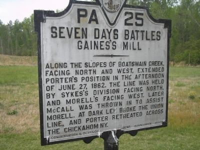
Seven Days Battles
Gainesís Mill
Erected 1932 by Conservation & Development Commission. (Marker Number PA-25.)
Topics and series. This historical marker is listed in this topic list: War, US Civil. In addition, it is included in the Virginia Department of Historic Resources (DHR) series list. A significant historical date for this entry is June 27, 1866.
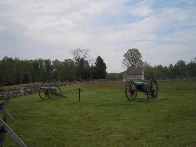
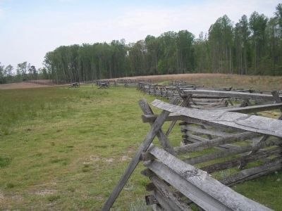
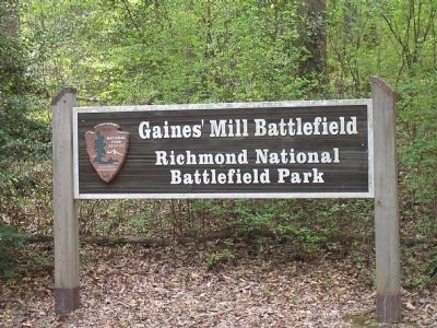
Location. 37° 34.444′ N, 77° 17.451′ W. Marker is in Mechanicsville, Virginia, in Hanover County. Marker is on Watt House Road (Virginia Route 718), on the right when traveling south. Marker is in the Gainesí Mill Battlefield Unit of Richmond National Battlefield Park. Touch for map. Marker is in this post office area: Mechanicsville VA 23111, United States of America. Touch for directions.
Other nearby markers. At least 8 other markers are within walking distance of this marker. Gaines' Mill (a few steps from this marker); The Watt House (a few steps from this marker); The Battle of Gainesí Mill (a few steps from this marker); Springfield Plantation (a few steps from this marker); Leeís First Victory: At a Huge Cost (within shouting distance of this marker); Confederate Pursuit (within shouting distance of this marker); a different marker also named Battle of Gaines' Mill (within shouting distance of this marker); Union Artillery (about 400 feet away, measured in a direct line). Touch for a list and map of all markers in Mechanicsville.
Also see . . .
1. Gainesí Mill. CWSAC Battle Summaries website. (Submitted on January 3, 2009, by Bill Coughlin of Woodland Park, New Jersey.)
2. Places To Go in Richmond National Battlefield Park. National Park Service website. (Submitted on January 3, 2009, by Bill Coughlin of Woodland Park, New Jersey.)
3. Gainesí Mill. CWSAC Battle Summaries website. (Submitted on January 3, 2009, by Bill Coughlin of Woodland Park, New Jersey.)
4. Gaines' Mill Battlefield Loop Trail. This marker is one along the loop trail in the Gaines' Mill Battlefield unit of the Richmond National Battlefield Park. (Submitted on February 26, 2009, by Bernard Fisher of Richmond, Virginia.)
Credits. This page was last revised on June 16, 2016. It was originally submitted on January 3, 2009, by Bill Coughlin of Woodland Park, New Jersey. This page has been viewed 1,429 times since then and 22 times this year. Photos: 1, 2, 3, 4. submitted on January 3, 2009, by Bill Coughlin of Woodland Park, New Jersey.


