Mechanicsville in Hanover County, Virginia — The American South (Mid-Atlantic)
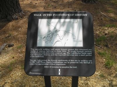
Walk in the Footsteps of History
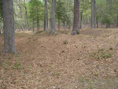
You can help protect the historic earthworks of this site by walking only on the trail. These fragile fortifications can be preserved only through a respectful appreciation of their importance.
Erected by Richmond National Battlefield Park - National Park Service.
Topics. This historical marker is listed in this topic list: War, US Civil. A significant historical month for this entry is June 1864.
Location. 37° 35.1′ N, 77° 17.219′ W. Marker is in Mechanicsville, Virginia, in Hanover County. Marker is at the intersection of Anderson Wright Drive and Cold Harbor Road (Virginia Route 156), on the right when traveling north on Anderson Wright Drive. Marker is near the Visitor Center in the Cold Harbor Battlefield Unit of Richmond National Battlefield Park. Touch for map. Marker is in this post office area: Mechanicsville VA 23111, United States of America. Touch for directions.
Other nearby markers. At least 8 other markers are within walking distance of this marker. We Must Hold This Line (here, next to this marker); Cold Harbor (within shouting distance of this marker); Killing Fields (within shouting distance of this marker); Battle of Cold Harbor (within shouting distance of this marker); Read's Battalion (within shouting distance of this marker); The Ultimate Sacrifice (about 800 feet away, measured in a direct line); Nowhere To Go (approx. 0.2 miles away); Those People Stand No Chance (approx. 0.2 miles away). Touch for a list and map of all markers in Mechanicsville.
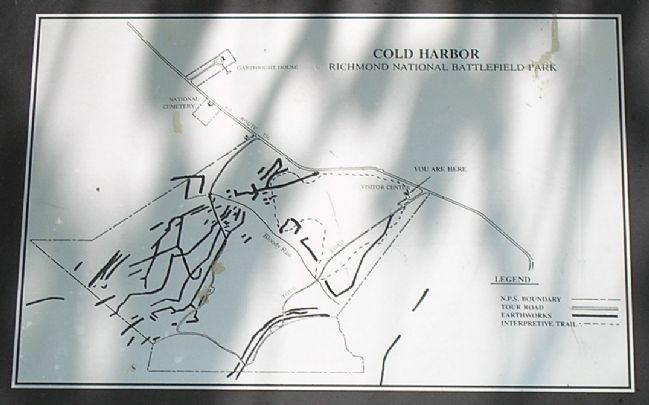
More about this marker. The top of the marker contains a map of the Cold Harbor Unit of Richmond National Battlefield Park which shows the location of trails, roads and earthworks.
Also see . . .
1. Cold Harbor. CMSAC Battle Summaries webpage. (Submitted on January 12, 2009, by Bill Coughlin of Woodland Park, New Jersey.)
2. Cold Harbor. Richmond National Battlefield. (Submitted on January 12, 2009, by Bill Coughlin of Woodland Park, New Jersey.)
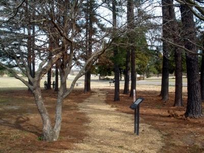
3. Cold Harbor Battlefield Virtual Tour by Markers. This is one of the many markers along the walking trail, extended loop trail,
and auto tour route in the Cold Harbor Battlefield Unit of the Richmond National Battlefield Park. (Submitted on March 9, 2009, by Bernard Fisher of Richmond, Virginia.)
Credits. This page was last revised on June 16, 2016. It was originally submitted on January 12, 2009, by Bill Coughlin of Woodland Park, New Jersey. This page has been viewed 1,129 times since then and 13 times this year. Photos: 1, 2. submitted on January 12, 2009, by Bill Coughlin of Woodland Park, New Jersey. 3. submitted on March 8, 2009, by Bernard Fisher of Richmond, Virginia. 4, 5. submitted on January 12, 2009, by Bill Coughlin of Woodland Park, New Jersey.
