Shockoe Bottom in Richmond, Virginia — The American South (Mid-Atlantic)
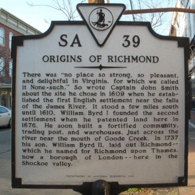
Origins of Richmond
Erected 1993 by Department of Historic Resources. (Marker Number SA-39.)
Topics and series. This historical marker is listed in this topic list: Settlements & Settlers. In addition, it is included in the Virginia Department of Historic Resources (DHR) series list. A significant historical year for this entry is 1609.
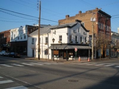
Location. 37° 32.024′ N, 77° 25.617′ W. Marker is in Richmond, Virginia. It is in Shockoe Bottom. Marker is at the intersection of North 18th Street (U.S. 360) and East Franklin Street, on the left when traveling north on North 18th Street. Touch for map. Marker is in this post office area: Richmond VA 23223, United States of America. Touch for directions.
Other nearby markers. At least 8 other markers are within walking distance of this marker. The Oldest Commercial Building in Richmond (here, next to this marker); Lafayette's Tour (within shouting distance of this marker); Masons' Hall (within shouting distance of this marker); Francis Asbury (about 400 feet away, measured in a direct line); Confederate General Hospital No. 12 (about 400 feet away); Lockwood Double House, 1845 (about 500 feet away); Craig House (about 500 feet away); Edgar Allan Poe Pedestal (about 600 feet away). Touch for a list and map of all markers in Richmond.
Credits. This page was last revised on February 1, 2023. It was originally submitted on February 7, 2009, by Bernard Fisher of Richmond, Virginia. This page has been viewed 1,388 times since then and 60 times this year. Photos: 1, 2. submitted on February 7, 2009, by Bernard Fisher of Richmond, Virginia. • Craig Swain was the editor who published this page.

