Sonoraville in Gordon County, Georgia — The American South (South Atlantic)
Old Sonora P.O. Now Sonoraville
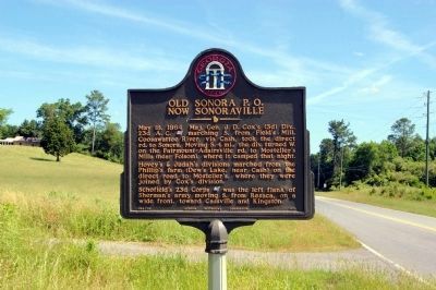
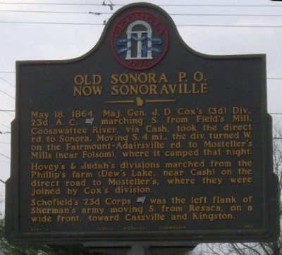
May 18, 1864. Maj. Gen. J.D. Cox's (3d) Div., 23d A.C. (US) marching S. from Field's Mill, Coosawattee River, via Cash, took the direct rd. to Sonora. Moving S. 4 mi., the div. turned W. on the Fairmount-Adairsville rd. to Mosteller's Mills (near Folsom), where it camped that night.
Hovey's & Judah's divisions marched from the Phillip's farm (Dew's Lake, near Cash) on the direct road to Mosteller's, where they were joined by Cox's division.
Schofield's 23d Corps (US) was the left flank of Sherman's army moving S. from Resaca, on a wide front, toward Cassville and Kingston.
Erected 1959 by Georgia Historical Commission. (Marker Number 064-26.)
Topics and series. This historical marker is listed in this topic list: War, US Civil. In addition, it is included in the Georgia Historical Society series list. A significant historical month for this entry is May 1864.
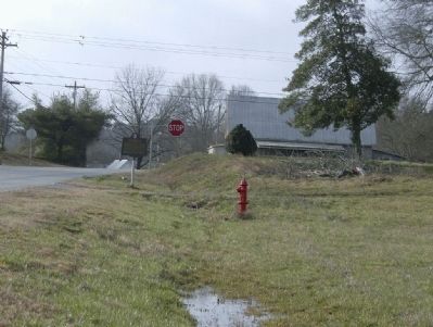
Location. 34° 26.92′ N, 84° 48.584′ W. Marker is in Sonoraville, Georgia, in Gordon County. Marker is at the intersection of Cash Rd SE and Fairmount Hwy SE (Georgia Route 53), on the right when traveling south on Cash Rd SE. Touch for map. Marker is in this post office area: Calhoun GA 30701, United States of America. Touch for directions.
Other nearby markers. At least 8 other markers are within 9 miles of this marker, measured as the crow flies. Big Spring (approx. 3.1 miles away); Historic Mount Pleasant Church (approx. 5˝ miles away); Corra Harris (approx. 6 miles away); Cherokee Nation (approx. 6.7 miles away); Richard Peters Plantation (approx. 7.2 miles away); Historic Trimble House (approx. 7.9 miles away); Original Site Adairsville — 1830’s (approx. 8 miles away); New Echota Cemetery (approx. 8.1 miles away).
More about this marker. This marker has been recently replaced (Feb. 2009) after being taken down in early 2008. Probably for maintenance since another marker nearby has also been returned.

Photographed By David Seibert, May 21, 2009
2. Old Sonora P.O. Now Sonoraville Marker as renovated.
State markers are now repaired and repainted in the state parks rather than at the former central shop. Many of the renovated markers have the state seal painted in red, white and blue (rather than the original gold).
Credits. This page was last revised on October 28, 2019. It was originally submitted on February 20, 2009, by David Tibbs of Resaca, Georgia. This page has been viewed 1,695 times since then and 31 times this year. Photos: 1. submitted on February 20, 2009, by David Tibbs of Resaca, Georgia. 2. submitted on May 23, 2009, by David Seibert of Sandy Springs, Georgia. 3, 4. submitted on February 20, 2009, by David Tibbs of Resaca, Georgia. • Craig Swain was the editor who published this page.


