Near Mechanicsville in Hanover County, Virginia — The American South (Mid-Atlantic)
Hood's Attack
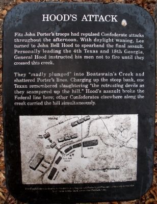
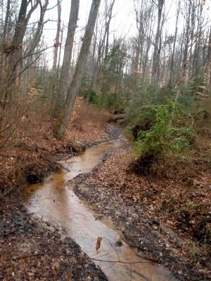
They "madly plunged" into Boatswain's Creek and shattered Porter's lines. Charging up the steep bank, one Texan remembered slaughtering "the retreating devils as they scampered up the hill." Hood's assault broke the Federal line here; other Confederates elsewhere along the creek carried the hill simultaneously.
Erected by National Park Service.
Topics. This historical marker is listed in this topic list: War, US Civil.
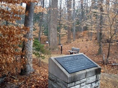
Location. 37° 34.453′ N, 77° 17.596′ W. Marker is near Mechanicsville, Virginia, in Hanover County. Marker can be reached from Watt House Road, 0.7 miles south of Cold Harbor Road (Virginia Route 156), on the right when traveling south. This marker is located on the walking trail along Boatswain Creek in the Gaines' Mill Battlefield unit of the Richmond National Battlefield Park. Touch for map. Marker is in this post office area: Mechanicsville VA 23111, United States of America. Touch for directions.
Other nearby markers. At least 8 other markers are within walking distance of this marker. Whiting's Advance (a few steps from this marker); The Union Left Flank (within shouting distance of this marker); Confederate Grand Assault (within shouting distance of this marker); Pickett’s Brigade, CSA (about 300 feet away, measured in a direct line); The Decisive Moment (about 300 feet away); The Federal Collapse (about 300 feet away); The Battle Begins (about 300 feet away); Final Stand (about 400 feet away). Touch for a list and map of all markers in Mechanicsville.
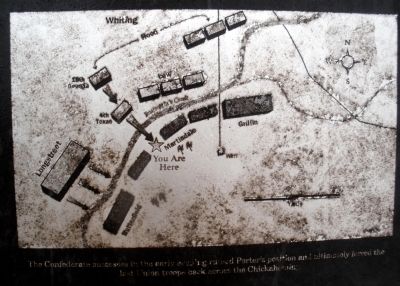
More about this marker. On the lower panel is a map depicting Hood's assault with the caption, "The Confederate successes in the early evening ruined Porter's position and ultimately forced the last Union troops back across the Chickahominy."
Also see . . .
1. CWSAC Battle Summary. Gaines’ Mill (Submitted on February 23, 2009, by Bernard Fisher of Richmond, Virginia.)
2. John Bell Hood Historical Society. (Submitted on February 23, 2009, by Bernard Fisher of Richmond, Virginia.)
Credits. This page was last revised on January 18, 2021. It was originally submitted on February 23, 2009, by Bernard Fisher of Richmond, Virginia. This page has been viewed 1,287 times since then and 14 times this year. Photos: 1, 2, 3, 4, 5. submitted on February 23, 2009, by Bernard Fisher of Richmond, Virginia.


