Poolesville in Montgomery County, Maryland — The American Northeast (Mid-Atlantic)
Poolesville
Strategic Union Encampment
— Gettysburg Campaign —
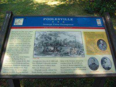
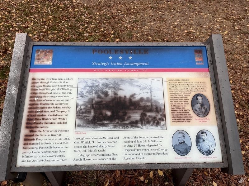
During the Civil War, more soldiers passed through Poolesville than any other Montgomery County town. Union forces occupied this bustling village throughout most of the war, protecting the strategic road network, lines of communication and supplies. Confederate cavalry sporadically raided the Federal cavalry units posted here, and Company B of local resident, Confederate Col. Elijah Veirs White's 35th White's Ferry Cavalry Battalion included Poolesville natives.
When the Army of the Potomac crossed the Potomac River at Edwards Ferry on June 24-25, 1863, and marched to Frederick and then to Gettysburg, Poolesville became temporary Union headquarters. Four infantry corps, the cavalry corps, and the Artillery Reserve marched through town June 25-27, 1863, and Gen. Winfield S. Hancock commandeered the home of elderly Jessie Veirs, Col. White's cousin.
Telegraph records indicate Gen. Joseph Hooker, commander of the Army of the Potomac, arrived the evening of June 26. At 9:00 a.m. on June 27, Hooker departed for Harpers Ferry where he would resign his command in a letter to President Abraham Lincoln.
[Sidebar:]
Seneca Mills Skirmish On June 10, 1863, Confederate Col. John S. Mosby’s 43rd Virginia Battalion of partisan rangers crossed into Maryland to reconnoiter for Gen. J.E.B. Stuart. The next day, separated from Stuart by the Union army, Mosby attacked a 6th Michigan Cavalry outpost at Seneca (7 miles southeast). The Federal troopers retreated to Poolesville to regroup for an assault that never came. Mosby lost two men, Lt. George H. Whitescarver and Capt. William G.D. Brawner, Co. H, 15th Virginia Cavalry. Brawner and some of his men had joined Mosby's raid to share in the spoils that rangers were permitted to keep.
Erected by Maryland Civil War Trails.
Topics and series. This historical marker is listed in this topic list: War, US Civil. In addition, it is included in the Maryland Civil War Trails series list. A significant historical month for this entry is June 1862.
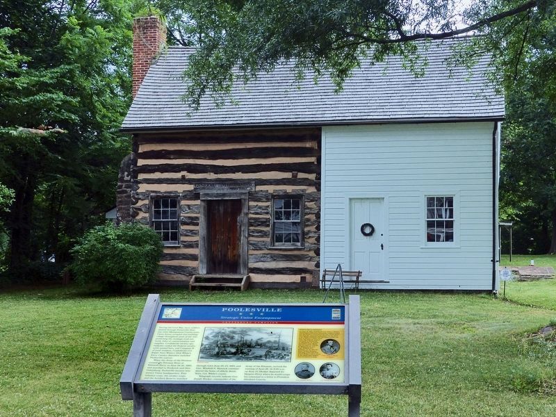
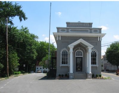
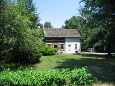
Location. 39° 8.759′ N, 77° 24.938′ W. Marker is in Poolesville, Maryland, in Montgomery County. Marker can be reached from Fisher Avenue / Whites Ferry Road (Maryland Route 107), on the right when traveling west. Located along an alley running beside the Old Bank Building (now a Town Administrative Office), to the North of Fisher Avenue. The marker is in front of the John Poole House, inside the Historic Medley District of town. Touch for map. Marker is in this post office area: Poolesville MD 20837, United States of America. Touch for directions.
Other nearby markers. At least 8 other markers are within walking distance of this marker. The Old Bank Building (within shouting distance of this marker); a different marker also named Poolesville
Photographed By Devry Becker Jones (CC0), December 10, 2023
2. Poolesville Marker
Unfortunately, the marker has weathered significantly. However, it remains legible.
More about this marker. The marker features a drawing depicting a Federal camp during the Civil War. Portraits of Gen. Joseph Hooker and Col. Elijah Veirs White, along with Capt. John S. Mosby (in the sidebar) are also included.
Credits. This page was last revised on December 10, 2023. It was originally submitted on July 15, 2007, by Craig Swain of Leesburg, Virginia. This page has been viewed 2,646 times since then and 37 times this year. Photos: 1. submitted on July 15, 2007, by Craig Swain of Leesburg, Virginia. 2. submitted on December 10, 2023, by Devry Becker Jones of Washington, District of Columbia. 3. submitted on June 26, 2019, by Allen C. Browne of Silver Spring, Maryland. 4, 5. submitted on July 15, 2007, by Craig Swain of Leesburg, Virginia. • J. J. Prats was the editor who published this page.
