Near Sharpsburg in Washington County, Maryland — The American Northeast (Mid-Atlantic)
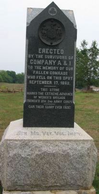
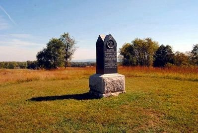
5th Md. Vet. Vol. Infy.
Inscription.
by the survivors of
Company A & I
to the memory of our
fallen comrads
who fell on this spot
September 17, 1862.
————
This stone
marks the extreme advance
of Weber's Brigade
French's Div. 2nd Army Corps
————
Can their glory ever fade!
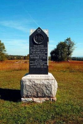
Erected 1890 by Survivors of Company A & I, 5th Maryland Volunteer Infantry Regiment.
Topics. This historical marker is listed in this topic list: War, US Civil. A significant historical month for this entry is September 1764.
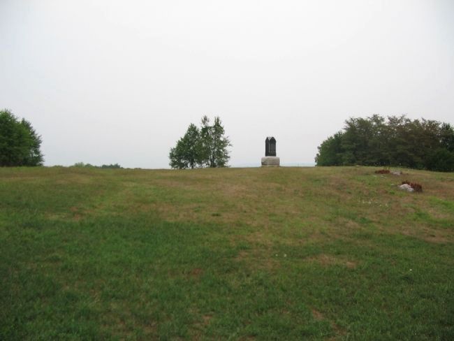
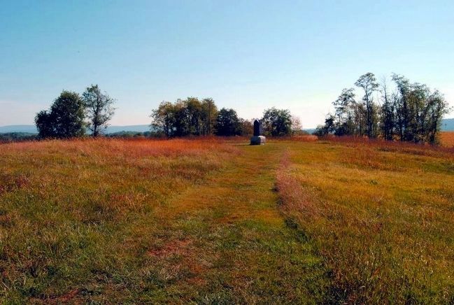
Location. 39° 28.32′ N, 77° 44.395′ W. Marker is near Sharpsburg, Maryland, in Washington County. Marker can be reached from Richardson Avenue, on the left when traveling east. Located about 120 yards north of the Sunken Lane and the other 5th Maryland Regiment monument. Touch for map. Marker is in this post office area: Sharpsburg MD 21782, United States of America. Touch for directions.
Other nearby markers. At least 8 other markers are within walking distance of this marker. Fourteenth Connecticut Volunteer Infantry (within shouting distance of this marker); Second Army Corps (within shouting distance of this marker); 130th Pennsylvania Volunteer Infantry (about 300 feet away, measured in a direct line); a different marker also named Second Army Corps (about 300 feet away); 8th Ohio Regiment (about 300 feet away); a different marker also named Second Army Corps (about 300 feet away); The 14th Indiana Infantry (about 300 feet away); French's Division, Second Army Corps (about 300 feet away). Touch for a list and map of all markers in Sharpsburg.
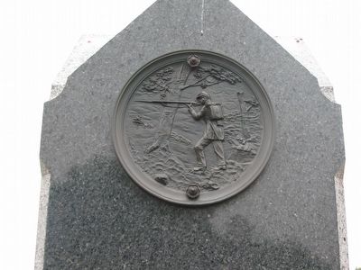
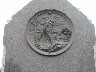
More about this marker. The monument was dedicated on September 17, 1890, the 28th anniversary of the battle. The monument is adorned with three metal disks - the seal of the State of Maryland, a depiction of a soldier in battle, and a depiction of an encampment. A fourth disk is missing and has been missing since the 1980s.
Regarding 5th Md. Vet. Vol. Infy.. This marker is included on the Sunken Road or Bloody Lane Virtual Tour by Markers see the Virtual tour link below to see the markers in sequence.
Related markers. Click here for a list of markers that are related to this marker. Follow the 5th Maryland on the Antietam Battlefield
Also see . . . 5th Maryland, Companies A and I Monument. National Park Service site detailing the monument. (Submitted on February 18, 2008, by Craig Swain of Leesburg, Virginia.)
Additional commentary.
1. The circular medallions on this monument
The 4 10" circular medallions were created by J. Page & Son, Philadelphia. Of the four medallions, one has been missing since the 1980s, presumed stolen. The newspaper "The Herald and Torch Light" (Sept. 25, 1890 described the four medallions, thought at least one was describe incorrectly (the one showing stacked arms). The monument was describe as "of highly polished Quincy granite, five-feet high and two and a half feet square, resting on a base of Cecil County granite four-feet square. On each face is a bronze medallion. The one on the front bears the 185 Maryland Coat-of-Arms; the others represent respectively, a soldier carrying arms, a soldier at charging bayonets, and a soldier firing at full length extended and over an embankment, as was done at Bloody Lane."
Eighteen members of the two companies were present at the unveiling, though other veterans from different corners of the state brought the total number of veterans present to 65. The cost of the monument was $940, though the state compensated part of the debt as part of legislation passed in 1892. $530 was then paid to the veterans to repay part of the debt.
This is the only Maryland monument on the battlefield not erected by the state of Maryland and was the first monument to Maryland men placed on the battlefield.
The monument was rededicated on September 14, 1962, with descendants of the original members of the companies in attendance.
— Submitted April 4, 2009, by Robert H. Moore, II of Winchester, Virginia.
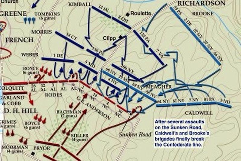
via American Battlefield Trust, unknown
8. Sunken Road or Bloody Lane Virtual Tour by Markers.
A collection of markers interpreting the action of during the Battle of Antietam around the Sunken Road.
(Submitted on February 23, 2008, by Craig Swain of Leesburg, Virginia.)
Click for more information.
(Submitted on February 23, 2008, by Craig Swain of Leesburg, Virginia.)
Click for more information.
Credits. This page was last revised on April 3, 2022. It was originally submitted on February 18, 2008, by Craig Swain of Leesburg, Virginia. This page has been viewed 1,382 times since then and 10 times this year. Last updated on April 3, 2009, by Robert H. Moore, II of Winchester, Virginia. Photos: 1. submitted on February 18, 2008, by Craig Swain of Leesburg, Virginia. 2. submitted on September 27, 2015, by Brian Scott of Anderson, South Carolina. 3, 4, 5. submitted on February 18, 2008, by Craig Swain of Leesburg, Virginia. 6, 7. submitted on September 27, 2015, by Brian Scott of Anderson, South Carolina. 8. submitted on April 3, 2022, by Larry Gertner of New York, New York.
