Beacon Hill in Boston in Suffolk County, Massachusetts — The American Northeast (New England)
Boston Common
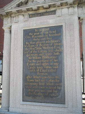
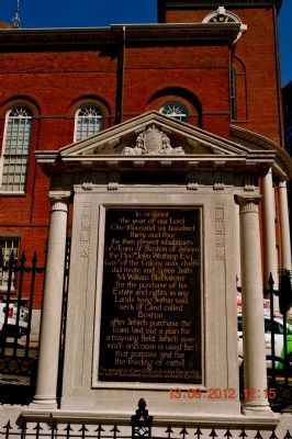
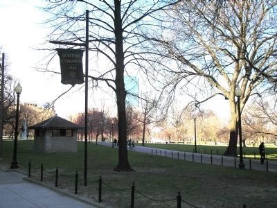
In or about the year of our Lord One thousand six hundred thirty and four the then present inhabitants of said Town of Boston of whom the Honble John Winthrop Esqr Govnr of the Colony was chiefe did treate and agree with Mr William Blackstone for the purchase of his Estate and rights in any Lands lying within said neck of Land called Boston after which purchase the Town laid out a plan for a trayning field which ever since and now is used for that purpose and for the feeding of cattell.
The deposition of John Odlin and others concerning the sale of Blackstone land known as Boston Commons.
Topics. This historical marker is listed in these topic lists: Colonial Era • Notable Places.
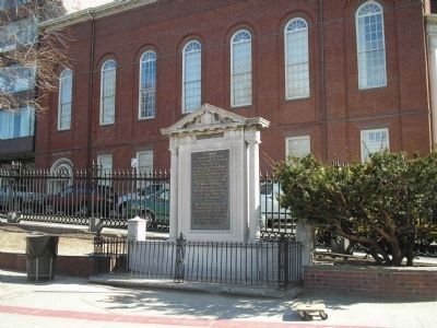
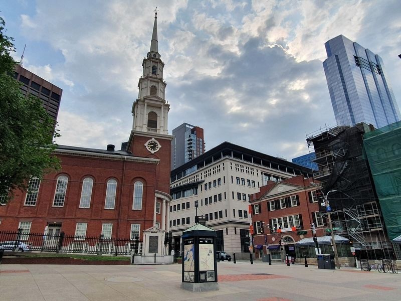
Location. 42° 21.395′ N, 71° 3.735′ W. Marker is in Boston, Massachusetts, in Suffolk County. It is in Beacon Hill. Marker is at the intersection of Tremont Street and Park Street, on the left when traveling north on Tremont Street. Marker is located near the Park Street Metro Station. Touch for map. Marker is in this post office area: Boston MA 02108, United States of America. Touch for directions.
Other nearby markers. At least 8 other markers are within walking distance of this marker. The Common / The Freedom Trail / America's First Subway (a few steps from this marker); Park Street Church (a few steps from this marker); Power System of Boston’s Rapid Transit, 1889 (a few steps from this marker); Park Street Subway (within shouting distance of this marker); Tremont Street Subway (within shouting distance of this marker); Park Street Congregational Church (within shouting distance of this marker); First Commercial Dental Laboratory in America (within shouting distance of this marker); Manufactory House Site (within shouting distance of this marker). Touch for a list and map of all markers in Boston.
Also see . . . Boston Common. City of Boston.gov website. (Submitted on May 1, 2009, by Bill Coughlin of Woodland Park, New Jersey.)
Credits. This page was last revised on February 6, 2023. It was originally submitted on May 1, 2009, by Bill Coughlin of Woodland Park, New Jersey. This page has been viewed 1,343 times since then and 29 times this year. Photos: 1. submitted on May 1, 2009, by Bill Coughlin of Woodland Park, New Jersey. 2. submitted on November 17, 2013, by Sandra Hughes Tidwell of Killen, Alabama, USA. 3. submitted on May 1, 2009, by Bill Coughlin of Woodland Park, New Jersey. 4. submitted on July 13, 2021, by J. Makali Bruton of Accra, Ghana. 5, 6. submitted on May 1, 2009, by Bill Coughlin of Woodland Park, New Jersey.
