Jekyll Island in Glynn County, Georgia — The American South (South Atlantic)
Jekyll Island Boat House Site, Shipshape for the Season
— ( Jekyll Island Club, 1886-1942 ) —
Inscription.
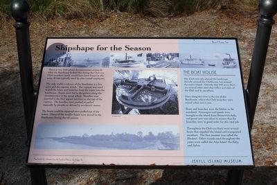
There is very little photo documentation of exactly what the Boathouse looked like during the Club era. Club members rarely would have been found in this area, It was typically used by year-round employees.
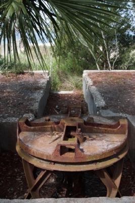
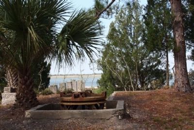
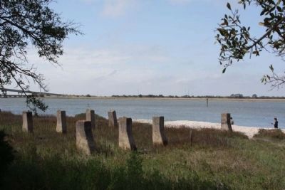
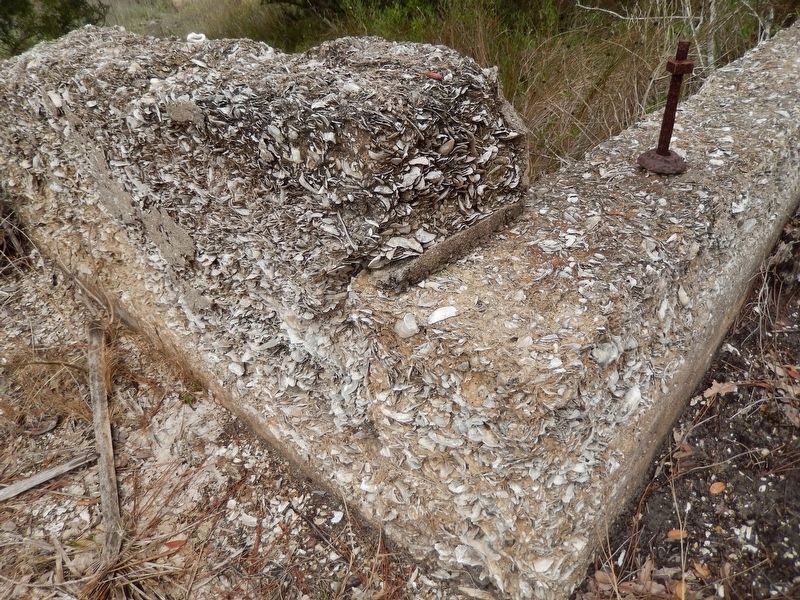
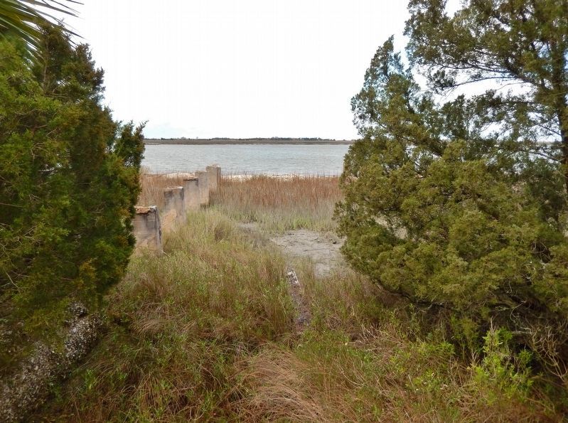
The only visible evidence of the Boathouse is a few piers and the capstan winch. The capstan was used to pull boats and launches from the water into the boathouse. Ropes were fed in the groove along the circumference of the metal wheel. Handles were inserted in the four square sections on the top of the capstan. The handles were pushed or pulled manually by people, or driven by an electric motor.
The boats could be repaired once pulled out of the water. Many of the smaller boats were stored in the Boathouse during the off-season.
The Boat House
The Club not only altered the landscape directly around the Clubhouse, but around the entire island. Outside that 240 acres there are several other sites that reflect activities of the Club and its members.
Here along the river is the site of the Boathouse, where the Club launches were stored when not in use.
Boats and launches were the lifeline to the mainland. Passengers and goods were brought to the island from Brunswick daily, and great care was taken to ensure that the launches were in good order for this vital job.
Throughout the Club era there were several boats that supplied the island and transported members. The first steamer was called the Howland. Other vessels used throughout the years were called the Jekyll Island, the Kitty, and Sylvia.
Erected by Friends of Historic Jekyll Island, Inc. Jekyll Island Museum.
Topics. This historical marker is listed in these topic lists: Landmarks • Notable Buildings • Waterways & Vessels.
Location. 31° 3.136′ N, 81° 25.299′ W. Marker is on Jekyll Island, Georgia, in Glynn County. Marker is on Riverview Drive, on the right when traveling south. south of Stable Rd. Touch for map. Marker is in this post office area: Jekyll Island GA 31527, United States of America. Touch for directions.
Other nearby markers. At least 8 other markers are within walking distance of this marker. The Boat House Site (a few steps from this marker); M.E. Thompson and the Purchase of Jekyll Island (approx. 0.2 miles away); Enigma of the Island (approx. 0.2 miles away); All Work and No Play (approx. 0.3 miles away); The Infirmary / Furness Cottage (approx. 0.3 miles away); First Transcontinental Call (approx. 0.4 miles away); Morgan Tennis Court (approx. 0.4 miles away); The Sans Souci (approx. 0.4 miles away). Touch for a list and map of all markers in Jekyll Island.
Related markers. Click here for a list of markers that are related to this marker. Jekyll Island Boat House
Credits. This page was last revised on November 20, 2020. It was originally submitted on May 3, 2009, by Mike Stroud of Bluffton, South Carolina. This page has been viewed 1,131 times since then and 39 times this year. Last updated on March 16, 2018, by Cosmos Mariner of Cape Canaveral, Florida. Photos: 1, 2, 3, 4, 5, 6. submitted on May 3, 2009, by Mike Stroud of Bluffton, South Carolina. 7, 8, 9. submitted on October 31, 2017, by Cosmos Mariner of Cape Canaveral, Florida. • Andrew Ruppenstein was the editor who published this page.
