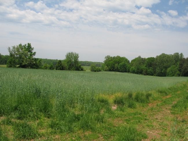
Locust Grove in Orange County, Virginia — The American South (Mid-Atlantic)
Key Terrain
The Battle of the Wilderness
— Fredericksburg and Spotsylvania National Military Park —
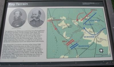
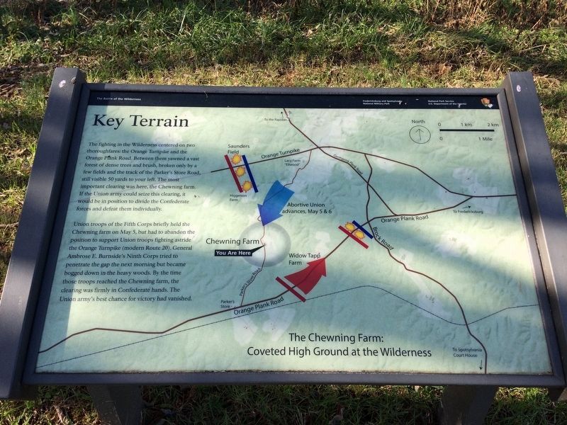
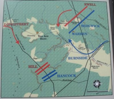
Gen. Samuel W. Crawford's division of the Union Fifth Corps held the Chewning farm on May 5, but it had to abandon the position to support Union troops fighting astride the Orange Turnpike. Gen. Ambrose E. Burnside's Ninth Corps tried to penetrate the gap the next morning but became bogged down in the heavy woods. By the time it reached the Chewning farm, the clearing was firmly in Confederate hands. The Union army's best chance for victory had vanished.
Erected by National Park Service, U.S. Department of the Interior.
Topics. This historical marker is listed in this topic list: War, US Civil. A significant historical month for this entry is May 1946.
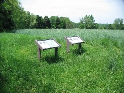
Location. 38° 17.587′ N, 77° 44.662′ W. Marker is in Locust Grove, Virginia, in Orange County. Marker can be reached from Hill-Ewell Drive, on the right when traveling south. Located at stop five (Chewning Farm) on the driving tour of the Wilderness Battlefield. The marker is on the Chewning House Trail, and stands next to the Old Parker Store Road traces. Touch for map. Marker is in this post office area: Locust Grove VA 22508, United States of America. Touch for directions.
Other nearby markers. At least 8 other markers are within one mile of this marker, measured as the crow flies. A.P. Hill Escapes Capture (here, next to this marker); Wilderness Campaign (approx. 0.2 miles away); The Chewning Farm (approx. 0.2 miles away); a different marker also named Wilderness Campaign (approx. 0.8 miles away); a different marker also named Wilderness Campaign (approx. one mile away); The Widow Tapp House (approx. one mile away); The Home of Widow Tapp (approx. one mile away); Lee-to-the-Rear (approx. one mile away). Touch for a list and map of all markers in Locust Grove.
More about this marker. On the upper left are portraits of Generals Crawford and Burnside. To the right is a map of the situation described in the text.
Also see . . . Wilderness Battlefield. National Park Service page. (Submitted on May 18, 2009, by Craig Swain of Leesburg, Virginia.)
Credits. This page was last revised on April 21, 2020. It was originally submitted on May 18, 2009, by Craig Swain of Leesburg, Virginia. This page has been viewed 1,525 times since then and 46 times this year. Photos: 1. submitted on May 18, 2009, by Craig Swain of Leesburg, Virginia. 2. submitted on January 5, 2018, by Shane Oliver of Richmond, Virginia. 3, 4, 5. submitted on May 18, 2009, by Craig Swain of Leesburg, Virginia.
