Near Tiptonville in Lake County, Tennessee — The American South (East South Central)
Reelfoot Lake
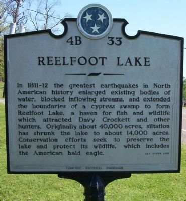
In 1811-12 the greatest earthquakes in North American history enlarged existing bodies of water, blocking inflowing streams, and extended the boundaries of a cypress swamp to form Reelfoot Lake, a haven for fish and wildlife which attracted Davy Crockett and other hunters. Originally about 40,000 acres, siltation has shrunk the lake to about 14,000 acres. Conservation efforts seek to preserve the lake and protect its wildlife , which includes the American bald eagle. see other side
(Back):
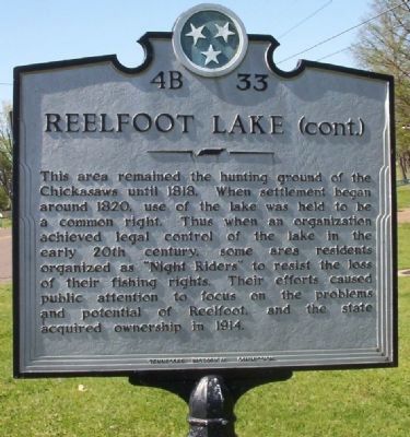
This area remained the hunting ground of the Chickasaws until 1818. When settlement began around 1820, use of the lake was held to be a common right. Thus when an organization achieved legal control of the lake in the early 20th century, some area residents organized as "Night Riders" to resist the loss of their fishing rights. Their efforts caused public attention to focus on the problems and potential of Reelfoot and the state acquired ownership in 1914.
Erected by Tennessee Historical Commission. (Marker Number 4B 33.)
Topics and series. This historical marker is listed in these topic lists: Disasters • Natural Features • Natural Resources . In addition, it is included in the Tennessee Historical Commission series list. A significant historical year for this entry is 1818.
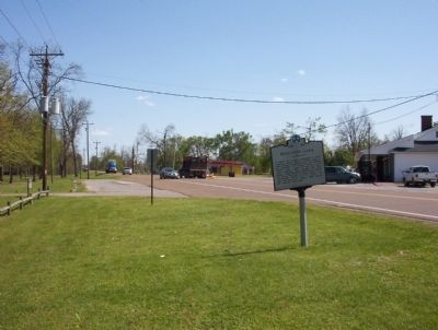
Location. 36° 21.768′ N, 89° 25.992′ W. Marker is near Tiptonville, Tennessee, in Lake County. Marker is on U.S. 21E, on the right when traveling north. Located at the entrance to Reelfoot Lake State Park. Touch for map. Marker is at or near this postal address: 2595 State Route 21E, Tiptonville TN 38079, United States of America. Touch for directions.
Other nearby markers. At least 8 other markers are within 7 miles of this marker, measured as the crow flies. Civilian Conservation Corps and Reelfoot Lake State Park (within shouting distance of this marker); General Clifton Bledsoe Cates (approx. ¼ mile away); Tiptonville Presbyterian Church (approx. 2.6 miles away); a different marker also named General Clifton Bledsoe Cates (approx. 3 miles away); Capture of Island No. 10 (approx. 3 miles away); Reelfoot — An Earthquake Lake (approx. 4.7 miles away); Confederate Burials (approx. 5.6 miles away); Confederate Forts & Batteries (approx. 6.1 miles away). Touch for a list and map of all markers in Tiptonville.
Photographed By Craig Swain, April 21, 2009
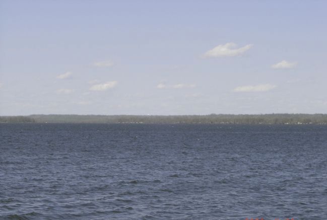
4. Reelfoot Lake
Looking across the lake today. The lake was formed as portions of the land subsided or fell during the great earthquake. Observers claimed the Mississippi River ran backward to fill in the low area. Today the lake, although reduced in size, is still a major portion of the local drainage system. However despite the surface area the lake is rather shallow.
Photographed By Craig Swain, April 21, 2009
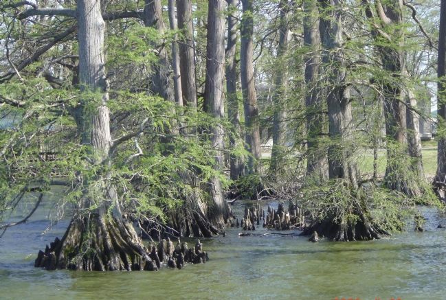
5. Cypress Trees in the Lake
The lake was bounded by expanses of cypress stands prior to the 20th century. Adjacent areas were drained and turned to farm land, causing the siltation mentioned on the marker. Today cypress still grow around the edges of the lake.
Credits. This page was last revised on September 22, 2020. It was originally submitted on May 19, 2009, by Craig Swain of Leesburg, Virginia. This page has been viewed 5,435 times since then and 22 times this year. Photos: 1, 2, 3, 4, 5. submitted on May 19, 2009, by Craig Swain of Leesburg, Virginia.
