Vance in Hampshire County, West Virginia — The American South (Appalachia)
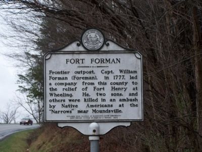
Fort Forman
Erected 2004 by West Virginia Division of Archives & History.
Topics and series. This historical marker is listed in these topic lists: Forts and Castles • War, US Revolutionary • Wars, US Indian. In addition, it is included in the West Virginia Archives and History series list. A significant historical year for this entry is 1777.
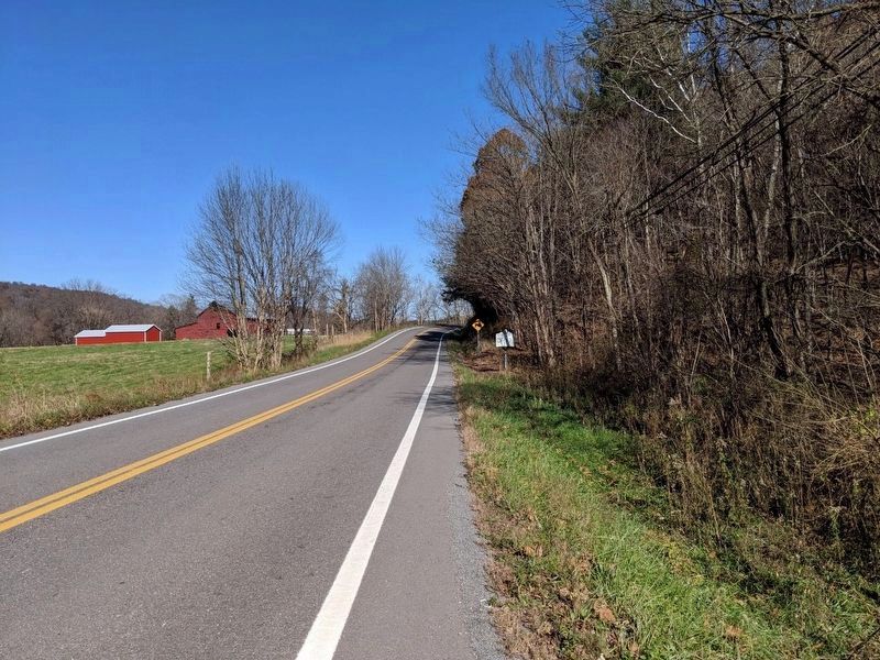
Location. 39° 22.52′ N, 78° 44.301′ W. Marker is in Vance, West Virginia, in Hampshire County. Marker is at the intersection of West Virginia Route 28 and Buffalo Hollow Road on State Route 28. Touch for map. Marker is in this post office area: Romney WV 26757, United States of America. Touch for directions.
Other nearby markers. At least 8 other markers are within 3 miles of this marker, measured as the crow flies. Old District Parsonage (approx. 2.3 miles away); Easton Family Homesite (approx. 2.4 miles away); Presbyterian Church (approx. 2.4 miles away); Gilbert Proctor Miller (approx. 2˝ miles away); Literary Hall (approx. 2˝ miles away); Hampshire County World War I Memorial (approx. 2˝ miles away); Lieutenant John Blue (approx. 2˝ miles away); Romney / Early Memorial (approx. 2˝ miles away).
Credits. This page was last revised on May 31, 2020. It was originally submitted on May 25, 2009, by Bill Pfingsten of Bel Air, Maryland. This page has been viewed 1,618 times since then and 47 times this year. Photos: 1. submitted on May 25, 2009, by Bill Pfingsten of Bel Air, Maryland. 2. submitted on November 11, 2018, by Mike Wintermantel of Pittsburgh, Pennsylvania. 3. submitted on May 25, 2009, by Bill Pfingsten of Bel Air, Maryland.


