Locust Grove in Charlottesville, Virginia — The American South (Mid-Atlantic)
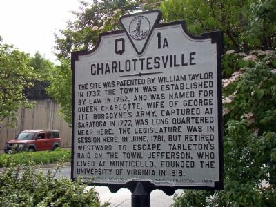
Charlottesville
Erected 1929 by Conservation and Development Commission. (Marker Number Q-1a.)
Topics and series. This historical marker is listed in this topic list: Political Subdivisions. In addition, it is included in the Virginia Department of Historic Resources (DHR) series list. A significant historical month for this entry is June 1781.
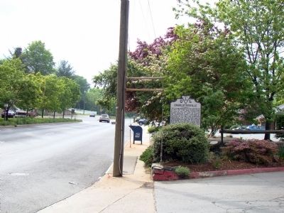
Location. 38° 2.164′ N, 78° 27.695′ W. Marker is in Charlottesville, Virginia. It is in Locust Grove. Marker is on Long Street (Bypass U.S. 250) north of High Street (Business U.S. 250), on the right when traveling west. Touch for map. Marker is at or near this postal address: 1305 Long St, Charlottesville VA 22901, United States of America. Touch for directions.
Other nearby markers. At least 8 other markers are within walking distance of this marker. Birthplace of George Rogers Clark (approx. 0.4 miles away); Enderly (approx. 0.6 miles away); The Farm (approx. 0.7 miles away); Dogwood Vietnam Memorial (approx. 0.9 miles away); Town Hall / Levy Opera House (approx. 0.9 miles away); a different marker also named The Dogwood Vietnam Memorial (approx. 0.9 miles away); Jack Jouett’s Ride (approx. 0.9 miles away); Site of Old Swan Tavern (approx. 0.9 miles away). Touch for a list and map of all markers in Charlottesville.
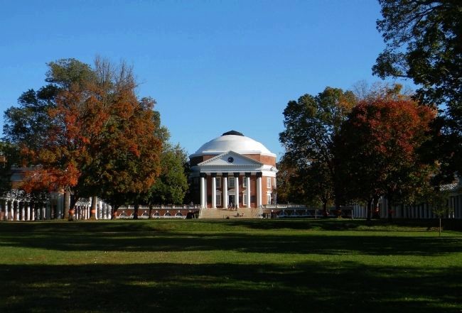
Also see . . . Charlottesville: A Brief Urban History. “The University of Virginia was founded in 1819. As the institution’s founder and principal visionary, Thomas Jefferson selected the site atop a small hill one mile from the center of town. The placement of the university away from the city established the “Academical Village” as distinct from the activities of town life. Jefferson's suspicions about the city and his clear preference for an agrarian basis of society in the newly formed republic are well documented, and it clearly influenced his attitude toward the founding of a non-sectarian and state supported institution of higher education. The University's location "outside of town" profoundly affected the subsequent urban development of Charlottesville by providing a strong westward focus of development, particularly along Three Notch’d Road (Main Street) connecting the University to the west and the town’s center to the east. A small commercial area called The Corner developed adjacent to the University, supporting the student and faculty population as the institution grew.” (Submitted on June 10, 2009.)
Credits. This page was last revised on February 1, 2023. It was originally submitted on June 10, 2009, by J. J. Prats of Powell, Ohio. This page has been viewed 1,062 times since then and 43 times this year. Photos: 1, 2. submitted on June 10, 2009, by J. J. Prats of Powell, Ohio. 3. submitted on July 5, 2010, by PaulwC3 of Northern, Virginia. 4. submitted on October 16, 2011, by PaulwC3 of Northern, Virginia.


