Near Sharpsburg in Washington County, Maryland — The American Northeast (Mid-Atlantic)
The Culmination of Another Great Tragedy was at Hand
Inscription.
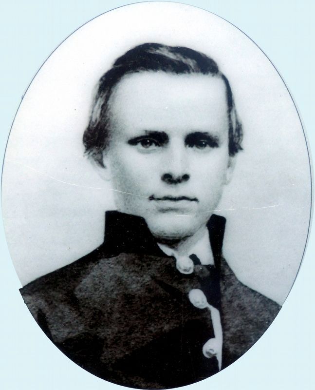
Pvt. William Goodhue, 3rd Wisconsin Infantry
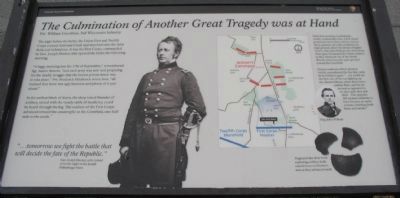
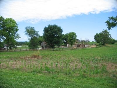
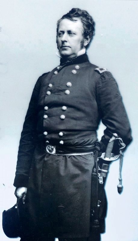
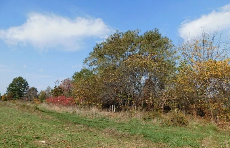
The night before the battle, the Union First and Twelfth Corps crossed Antietam Creek and marched onto the farm fields just behind you. It was the First Corps, commanded by Gen. Joseph Hooker, that opened the battle the following morning.
"A foggy morning was the 17th of September," remembered Sgt. Austin Stearns, "and each army was astir and preparing for the deadly struggle that the lowest private knew was to take place." Pvt. Frederick Hitchcock wrote how, "all realized that there was ugly business and plenty of it just ahead."
At the earliest blush of dawn, the deep toned thunder of artillery, mixed with the steady rattle of musketry, could be heard through the fog. The soldiers of the First Corps advanced toward the catastrophe in the cornfield, one-half mile to the south."
"...tomorrow we fight the battle that will decide the fate of the Republic."
Gen. Joseph Hooker, as he turned in for the night on the Joseph Poffenberger Farm
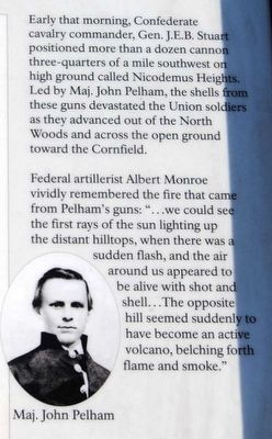
Early that morning, Confederate cavalry commander, Gen. J.E.B. Stuart positioned more than a dozen cannon three-quarters of a mile southwest on high ground called Nicodemus Heights. Led by Maj. John Pelham, the shells from these guns devastated the Union soldiers as they advanced out of the North Woods and across the open ground toward the Cornfield.
Federal artillerist Albert Monroe vividly remembered the fire that came from Pelham's guns: "... we could see the first rays of the sun lighting up the distant hilltops, when there was a sudden flash, and the air around us appeared to be alive with shot and shell... The opposite hill seemed suddenly to have become an active volcano, belching forth flame and smoke."
Erected 2009 by Antietam National Battlefield - National Park Service - U.S. Department of the Interior.
Topics. This historical marker is listed in this topic list: War, US Civil. A significant historical date for this entry is September 17, 1862.
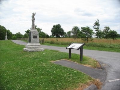
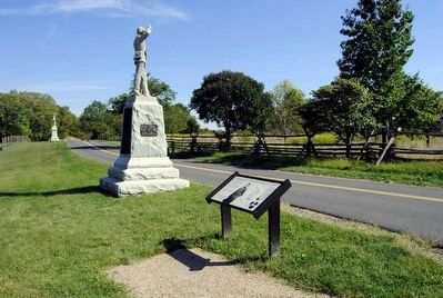
Location. 39° 29.331′ N, 77° 44.814′ W. Marker is near Sharpsburg, Maryland, in Washington County. Marker is on Mansfield Avenue, on the left when traveling east. Located at the pull off for stop two on the driving tour of Antietam Battlefield, the Poffenberger Farm. Touch for map. Marker is in this post office area: Sharpsburg MD 21782, United States of America. Touch for directions.
Other nearby markers. At least 10 other markers are within walking distance of this marker. "The Battle Opened" (here, next to this marker); 4th Regiment Pennsylvania Reserve Volunteer Corps (a few steps from this marker); "God has indeed remembered us" (within shouting distance of this marker); Clara Barton (within shouting distance of this marker); a different
marker also named Clara Barton (within shouting distance of this marker); 7th Regiment Pennsylvania (within shouting distance of this marker); 1st Corps, 3rd Division, 2nd Brigade Bivouac (within shouting distance of this marker); First Army Corps (within shouting distance of this marker); 3rd Regt. Pennsylvania (within shouting distance of this marker); Meade's Division, First Army Corps (about 300 feet away, measured in a direct line). Touch for a list and map of all markers in Sharpsburg.
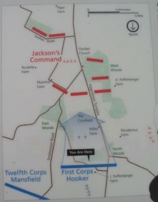
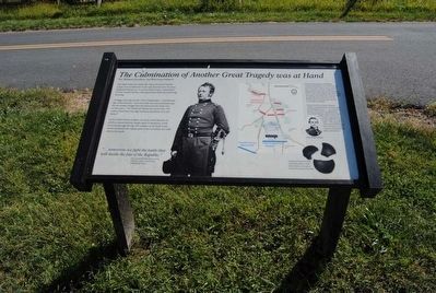
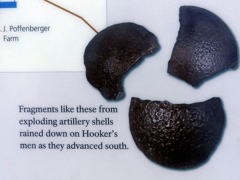
More about this marker. In the center is a photo of General Hooker. On the right is a map of the battle during this phase showing the disposition of the forces. Beside the map is a portrait of Maj. John Pelham. Also pictured are pieces of artillery shells. Fragments like these from exploding artillery shells rained down on Hooker's men as they advanced south.
Also see . . . Antietam Battlefield. National park Service site. (Submitted on July 9, 2009, by Craig Swain of Leesburg, Virginia.)
Credits. This page was last revised on May 18, 2021. It was originally submitted on July 9, 2009, by Craig Swain of Leesburg, Virginia. This page has been viewed 1,329 times since then and 16 times this year. Photos: 1, 2. submitted on July 9, 2009, by Craig Swain of Leesburg, Virginia. 3, 4. submitted on October 25, 2015, by Brian Scott of Anderson, South Carolina. 5. submitted on July 9, 2009, by Craig Swain of Leesburg, Virginia. 6. submitted on October 25, 2015, by Brian Scott of Anderson, South Carolina. 7. submitted on July 9, 2009, by Craig Swain of Leesburg, Virginia. 8, 9, 10. submitted on October 23, 2019, by Allen C. Browne of Silver Spring, Maryland. 11. submitted on May 12, 2021, by Bradley Owen of Morgantown, West Virginia.
