Near Dolan Springs in Mohave County, Arizona — The American Mountains (Southwest)
White Hills
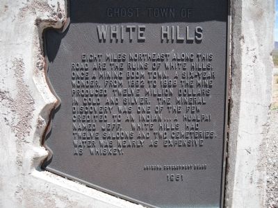
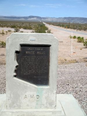
Ghost Town of
Erected 1961 by Arizona Development Board.
Topics. This historical marker is listed in these topic lists: Native Americans • Settlements & Settlers. A significant historical year for this entry is 1892.
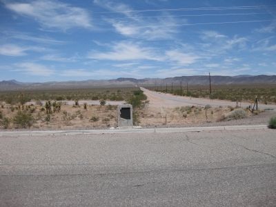
Location. 35° 42.02′ N, 114° 28.464′ W. Marker is near Dolan Springs, Arizona, in Mohave County. Marker is at the intersection of U.S. 93 and White Hills Road, on the right when traveling north on U.S. 93. Marker is 42.3 miles north of Interstate 40 and 27.3 miles south of Hoover Dam. Touch for map. Marker is in this post office area: Dolan Springs AZ 86441, United States of America. Touch for directions.
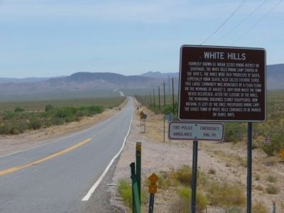
Other nearby markers. At least 3 other markers are within 15 miles of this marker, measured as the crow flies. A different marker also named White Hills (within shouting distance of this marker); Taming the Colorado (approx. 14.9 miles away); Explore Lake Mead (approx. 15 miles away).
Also see . . . Ghost Town - White Hills . White Hill's post office was established October 20, 1892 and discontinued August 15, 1914. White Hills went from nothing to a town of 200 people in two weeks as silver was found. (Submitted on July 12, 2009, by Syd Whittle of Mesa, Arizona.)
Credits. This page was last revised on June 16, 2016. It was originally submitted on July 11, 2009, by Richard Wisehart of Sonora, California. This page has been viewed 3,339 times since then and 90 times this year. Photos: 1. submitted on July 11, 2009, by Richard Wisehart of Sonora, California. 2. submitted on January 15, 2015, by J. J. Prats of Powell, Ohio. 3. submitted on July 11, 2009, by Richard Wisehart of Sonora, California. 4. submitted on June 13, 2010, by Bill Kirchner of Tucson, Arizona. • Syd Whittle was the editor who published this page.


