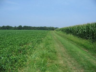
Near Fredericksburg in Spotsylvania County, Virginia — The American South (Mid-Atlantic)
Slaughter Pen Farm
Killing Range
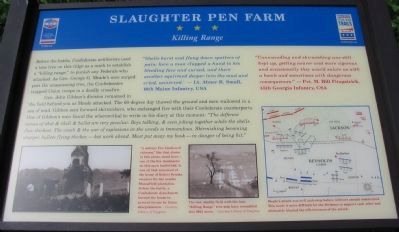
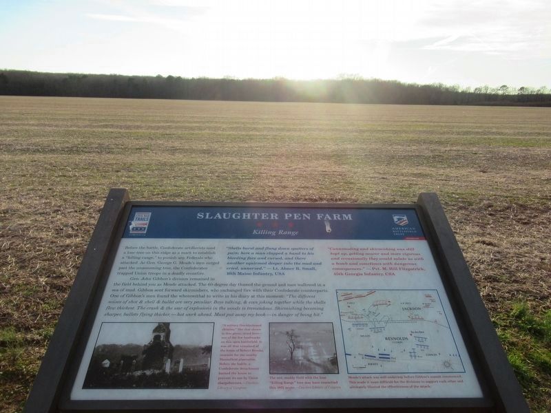
Gen. John Gibbon's division remained in the field behind you as Meade attacked. The 60-degree day thawed the ground and men wallowed in a sea of mud. Gibbon sent forward skirmishers, who exchanged fire with their Confederate counterparts. One of Gibbon's men found the wherewithal to write in his diary at this moment: "The different noises of shot & shell & bullet are very peculiar. Boys talking, & even joking together while the shells flew thickest. The crash & war of explosions in the woods is tremendous. Skirmishing becoming sharper, bullets flying thicker, - hot work ahead. Must put away my book - in danger of being hit."
"Shells burst and flung down splatters of pain; here a man clapped a hand to his bleeding face and cursed, and there another squirmed deeper into the mud and cried, unnerved."
-Lt. Abner R. Small, 16th Maine Infantry, USA
"Cannonading and skirmishing was still kept up, getting nearer and more vigourous and occasionally they would salute us with a bomb and sometimes with dangerous consequences."
- Pvt. M. Hill Fitzpatrick, 45th Georgia Infantry, CSA
Erected 2009 by Civil War Preservation Trust and Virginia Civil War Trails.
Topics and series. This historical marker is listed in this topic list: War, US Civil. In addition, it is included in the Virginia Civil War Trails series list.
Location. 38° 15.764′ N, 77° 26.737′ W. Marker is near Fredericksburg, Virginia, in Spotsylvania County. Marker can be reached from Tidewater Trail (U.S. 17), on the right when traveling south. Located on the Civil War Preservation Trust's Slaughter Pen Farm trail. Please obtain permission before entering the property. Call CWPT at (800) 298-7878. Touch for map. Marker is at or near this postal address: 11232 Tidewater Trail, Fredericksburg VA 22408, United States of America. Touch for directions.
Other nearby markers. At least 8 other markers are within walking distance of this marker. A different marker also named Slaughter Pen Farm (about 700 feet away, measured in a direct line); a different marker also named Slaughter Pen Farm (about 700 feet away); a different marker also named Slaughter Pen Farm (approx. 0.2 miles away); a different marker also named Slaughter Pen Farm (approx. 0.2 miles away); a different marker also named Slaughter Pen Farm (approx. ¼ mile away); a different marker also named Slaughter Pen Farm
(approx. ¼ mile away); Battle of Fredericksburg (approx. ¼ mile away); a different marker also named Battle of Fredericksburg (approx. ¼ mile away). Touch for a list and map of all markers in Fredericksburg.
More about this marker. On the lower left is a photograph of ruins on the battlefield. "A solitary fire-blackened chimney," like that shown in this photo, stood here - one of the few landmarks on this open battlefield. It was all that remained of the house of Robert Brooks, overseer for the nearby Mannsfield plantation. Before the battle, a Confederate detachment burned the house to prevent its use by Union sharpshooters.
In the lower center is another photo of the battlefield landscape. The wet, muddy field with the lone "Killing Range" tree may have resembled this 1862 scene.
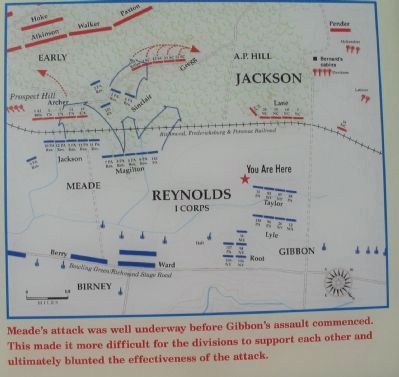
On the lower right is a map of the battle showing respective unit positions and movements described in the text. Meade's attack was well underway before Gibbon's assault commenced. This made it more difficult for the divisions to support each other and ultimately blunted the effectiveness of the attack.
Also see . . . The Slaughter Pen Farm

3. Civil War Preservation Trust
Help preservation like the Slaughter Pen Farm.
Click for more information.
Click for more information.
Photographed By Craig Swain, July 25, 2009
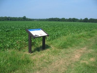
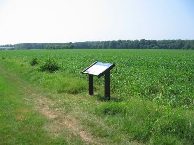
7. Meade's Attacking Columns
Looking back over the marker to the southeast. Meade's Division attacked across the open fields in the distance, and struck a gap in the Confederate lines just to the right of the modern warehouse buildings. Confederate artillery fired upon Meade's men as they advanced.
Credits. This page was last revised on February 2, 2023. It was originally submitted on July 27, 2009, by Craig Swain of Leesburg, Virginia. This page has been viewed 1,599 times since then and 32 times this year. Photos: 1. submitted on July 27, 2009, by Craig Swain of Leesburg, Virginia. 2. submitted on February 23, 2022, by Benjamin Harrison Allen of Amissville, Virginia. 3. submitted on July 26, 2009, by Craig Swain of Leesburg, Virginia. 4, 5, 6, 7. submitted on July 27, 2009, by Craig Swain of Leesburg, Virginia.
