Michie in McNairy County, Tennessee — The American South (East South Central)
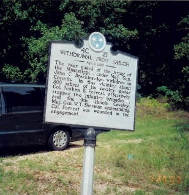
Withdrawal from Shiloh
Apr. 8, 1862
The rear guard of the Army of the Mississippi (CSA), under Maj. Gen. John C. Breckinridge, withdrew to Corinth. In this vicinity, about 300 sabres of its cavalry under Col. Nathan B. Forrest, effectively stopped two infantry brigades (USA), and the 4th Illinois Cavalry, Maj. Gen. W.T. Sherman commanding. Col. Forrest was wounded in the engagement.
Erected by Tennessee Historical Commission. (Marker Number 4C 21.)
Topics and series. This historical marker is listed in this topic list: War, US Civil. In addition, it is included in the Tennessee Historical Commission series list.
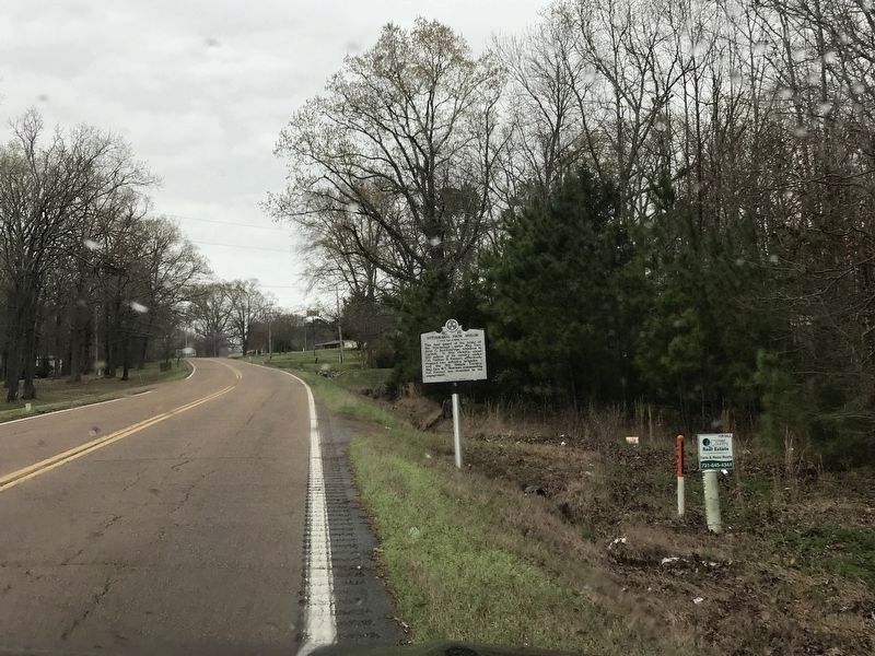
Location. 35° 2.816′ N, 88° 26.712′ W. Marker is in Michie, Tennessee, in McNairy County. Marker is on Tennessee Route 22, on the left when traveling south. Touch for map. Marker is in this post office area: Michie TN 38357, United States of America. Touch for directions.
Other nearby markers. At least 8 other markers are within 6 miles of this marker, measured as the crow flies. C. S. (approx. 0.7 miles away); Approach to Shiloh (approx. 0.8 miles away); The 12th of August Ambush (approx. 3.2 miles away); Battle of Shiloh (approx. 3.3 miles away); a different marker also named The 12th of August Ambush (approx. 4.3 miles away); Fallen Timbers (approx. 4.9 miles away); Historic Tennessee-Mississippi State Line (approx. 5.2 miles away); Approach To Shiloh (approx. 5.4 miles away). Touch for a list and map of all markers in Michie.
Also see . . .
1. Battle of Shiloh. Wikipedia entry (Submitted on April 7, 2022, by Larry Gertner of New York, New York.)
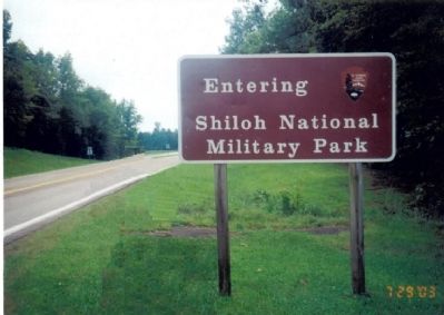
2. Shiloh National Military Park. National Park Service website. (Submitted on July 31, 2009, by Bill Coughlin of Woodland Park, New Jersey.)
Credits. This page was last revised on April 7, 2022. It was originally submitted on July 31, 2009, by Bill Coughlin of Woodland Park, New Jersey. This page has been viewed 1,366 times since then and 31 times this year. Photos: 1. submitted on July 31, 2009, by Bill Coughlin of Woodland Park, New Jersey. 2. submitted on March 24, 2020, by Duane and Tracy Marsteller of Murfreesboro, Tennessee. 3, 4. submitted on July 31, 2009, by Bill Coughlin of Woodland Park, New Jersey.


