Fort Hamilton in Brooklyn in Kings County, New York — The American Northeast (Mid-Atlantic)
Narrows Overlook – Fort Hamilton
Revolutionary War Heritage Trail
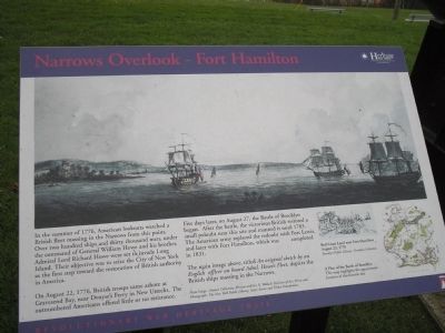
In the summer of 1776, American lookouts watched a British fleet massing in the Narrows from this point. Over two hundred ships and thirty thousand men, under the command of General William Howe and his brother, Admiral Lord Richard Howe were set to invade Long Island. Their objective was to seize the City of New York as the first step toward the restoration of British authority in America.
On August 22, 1776, British troops came ashore at Gravesend Bay, near Denyse’s Ferry in New Utrecht. The outnumbered Americans offered little or no resistance.
Five days later, on August 27, the Battle of Brooklyn began. After the battle, the victorious British restored a small redoubt near this site and manned it until 1783. The American army replaced the redoubt with Fort Lewis, and later with Fort Hamilton, which was completed in 1831.
The main image above, titled An original sketch by an English officer on board Adml. Howe’s Fleet, depicts the British ships massing in the Narrows.
Erected by State of New York.
Topics. This historical marker is listed in this topic list: War, US Revolutionary. A significant historical year for this entry is 1776.
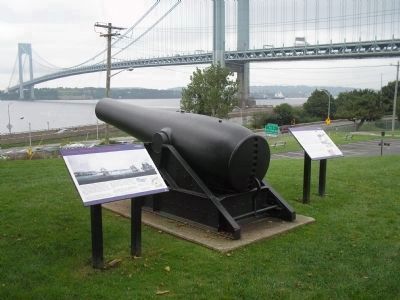
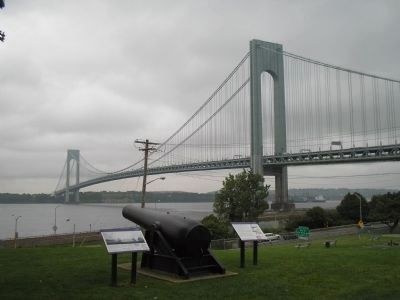
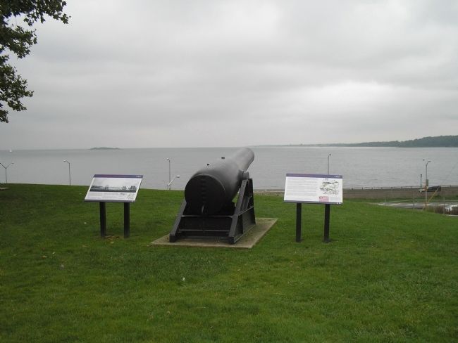
Location. 40° 36.46′ N, 74° 1.943′ W. Marker is in Brooklyn, New York, in Kings County. It is in Fort Hamilton. Marker can be reached from the intersection of Sheridan Loop and Sterling Drive, on the right when traveling east. Marker is on the grounds of Fort Hamilton. Touch for map. Marker is in this post office area: Brooklyn NY 11218, United States of America. Touch for directions.
Other nearby markers. At least 8 other markers are within walking distance of this marker. The Battle of Brooklyn (here, next to this marker); The Battle of Long Island (about 300 feet away, measured in a direct line); Projectiles for U.S. 20-inch Rodman Gun (about 300 feet away); The Caponier (about 500 feet away); Fort Hamilton Officers’ Club (about 600 feet away); June 1975 (about 600 feet away); Fort Hamilton (about 600 feet away); Spanish 24-Pounder (about 700 feet away). Touch for a list and map of all markers in Brooklyn.
More about this marker. The top of the marker contains a picture of the British fleet off the coast of Brooklyn. This image is from the Emmet Collection, Miriam and Ira D. Wallach Division of Art, Prints and Photographs, The New York Public Library, Astor, Lenox and Tilden Foundations. The bottom right of the marker features a sketch of “Red Coats Land[ing] near Fort Hamilton, August 22, 1776,” courtesy of the Brooklyn Public Library – Brooklyn Collection. Next to this is “A Plan of the Battle of Brooklyn. This map highlights the approximate location of this historic site.”
Also see . . .
1. The Battle of Long Island 1776. A British perspective of the battle from BritishBattles.com (Submitted on August 13, 2009, by Bill Coughlin of Woodland Park, New Jersey.)
2. The Battle of Brooklyn, August 27, 1776. Old Stone House Museum website entry (Submitted on January 28, 2022, by Larry Gertner of New York, New York.)
Credits. This page was last revised on January 31, 2023. It was originally submitted on August 13, 2009, by Bill Coughlin of Woodland Park, New Jersey. This page has been viewed 1,301 times since then and 30 times this year. Photos: 1, 2, 3, 4. submitted on August 13, 2009, by Bill Coughlin of Woodland Park, New Jersey.


